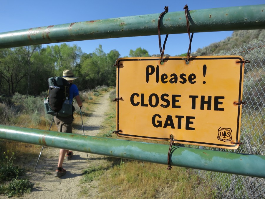
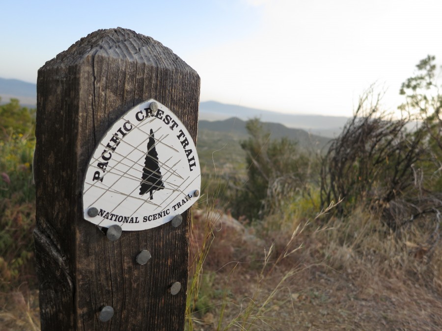
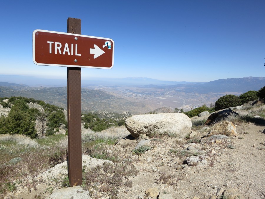
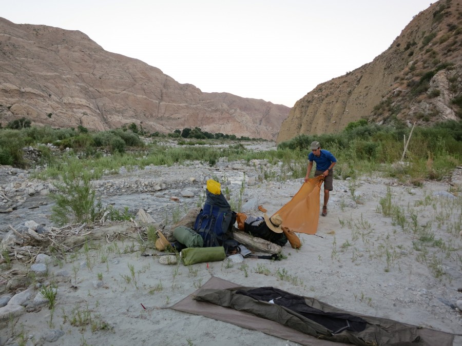
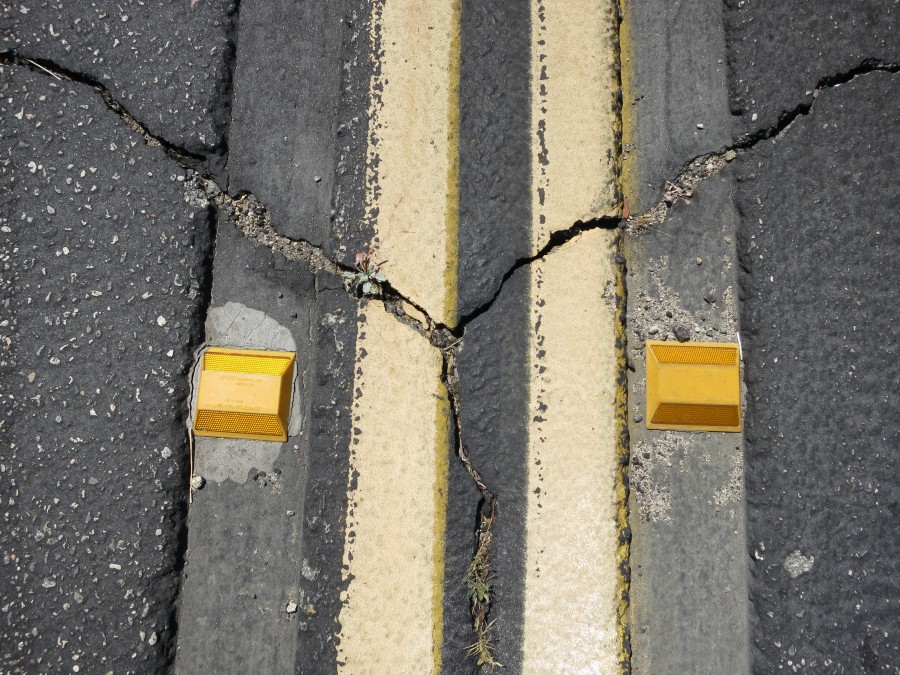
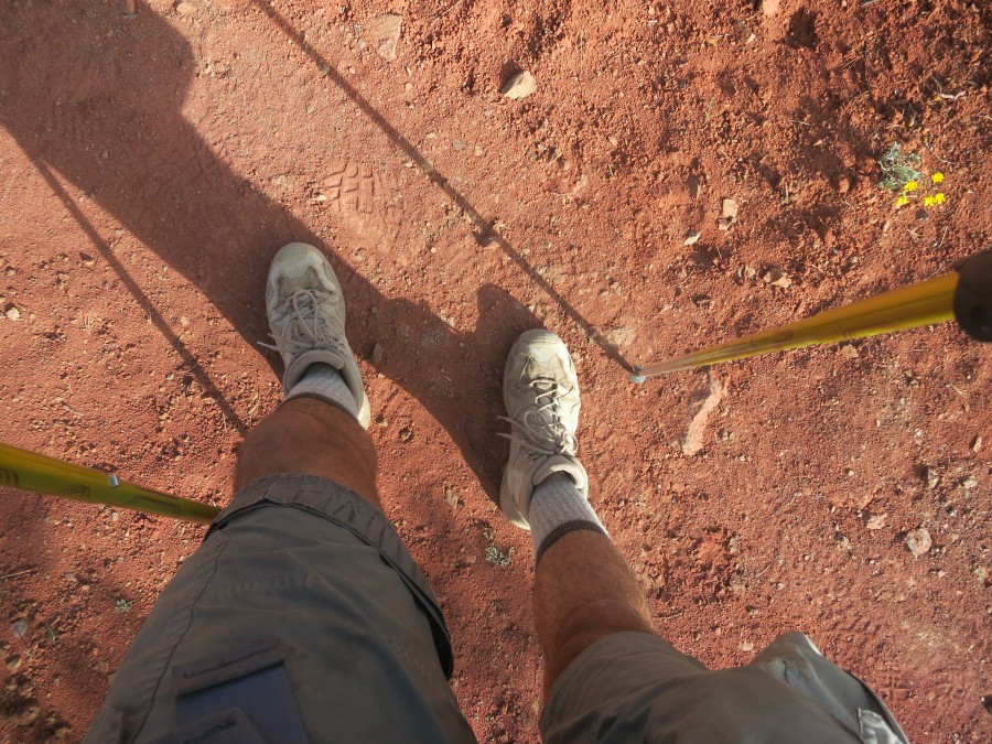
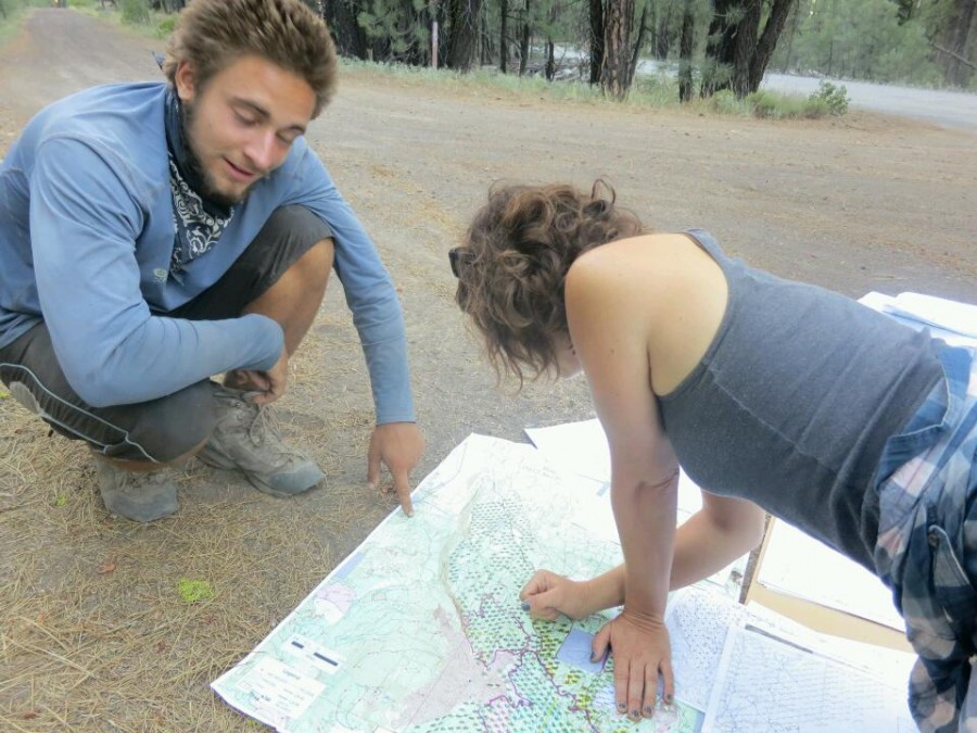
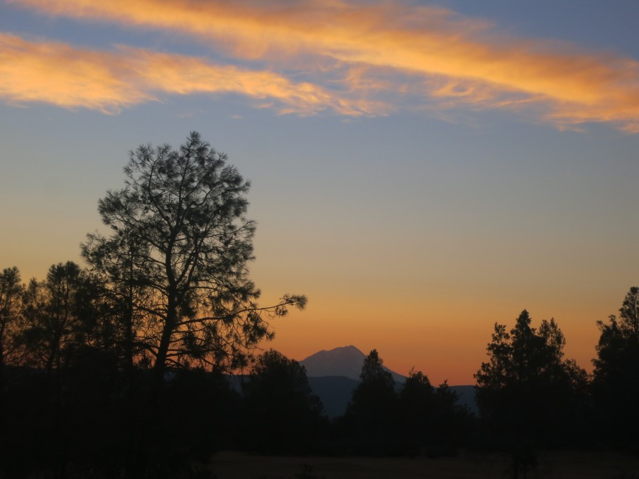
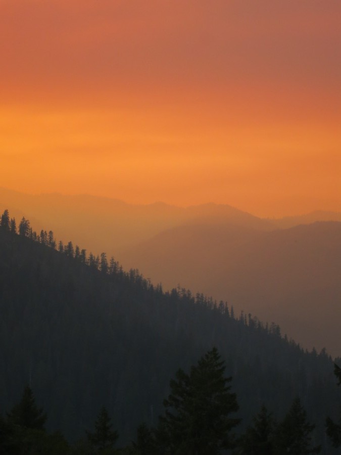
Maps for the trail (Posted 8 April 2012, 07:10pm)
For such a long journey maps are obviously important. Some hikers opt for GPS devices, and I still might, but I also want navigation not reliant on a battery.
There are numerous options for printed maps, and after a bit of research I decided to use Halfmile's Pacific Crest Trail Maps. These seemed to be the most regularly updated, primarily because they are distributed digitally over the internet rather than being printed and then shipped. They are free to download, although there is then the cost of printing over 450 A4 pages. The combined weight of all of the printed maps is considerable but I plan to post batches of maps ahead of me on the trail and start campfires with the maps I have finished with.
The maps contain a wealth of information, such as water sources and camp sites and other helpful notes. They are made from GPS data imported into National Geographic TOPO! software, so are presumably fairly accurate. While they look very promising, the actual usefulness of these maps on the trail remains to be seen...
Comments
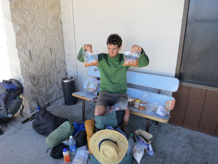
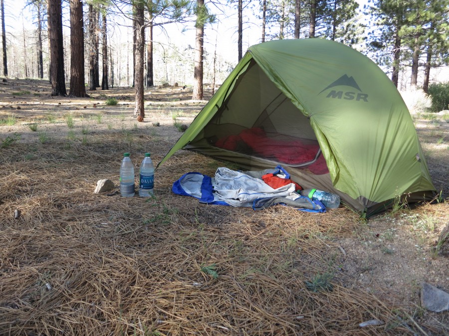
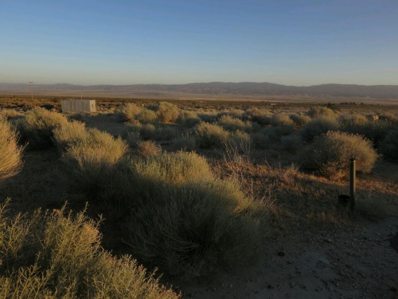
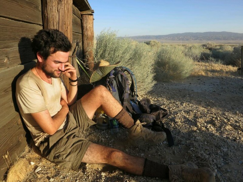
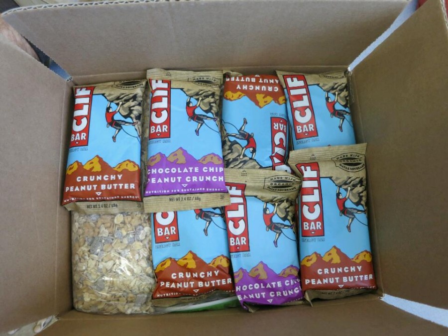
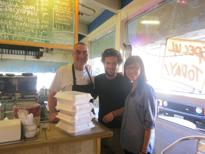
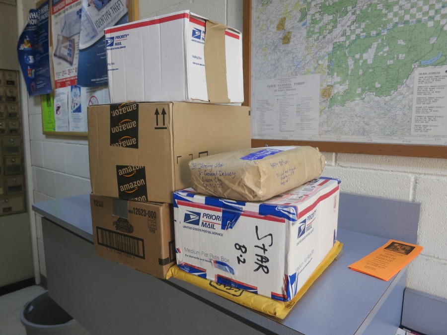
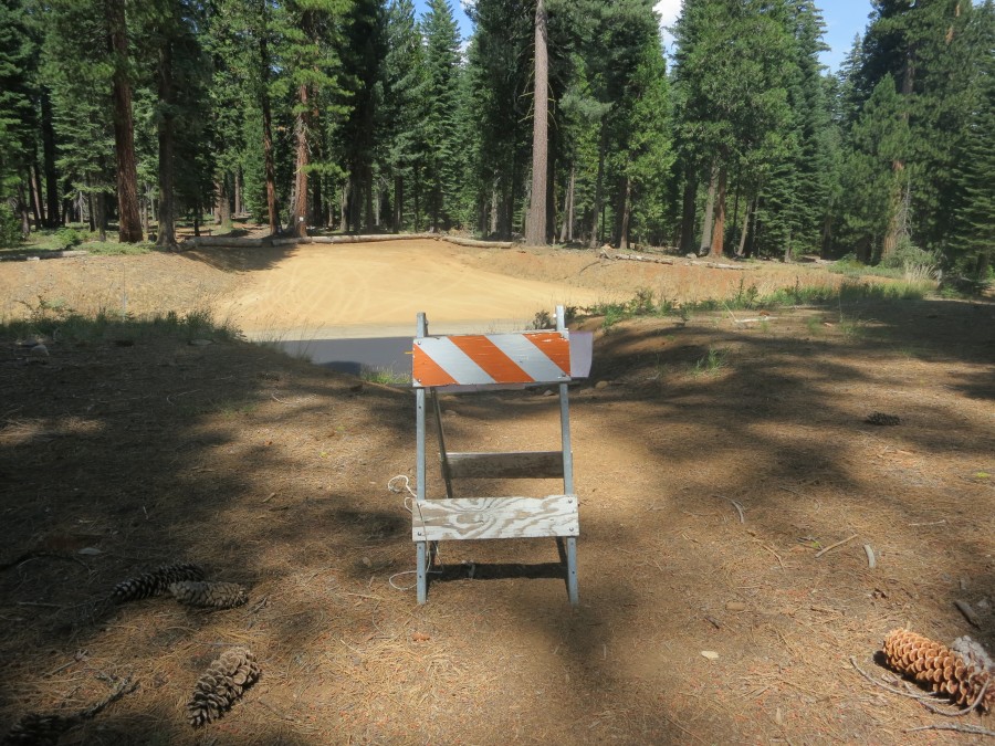
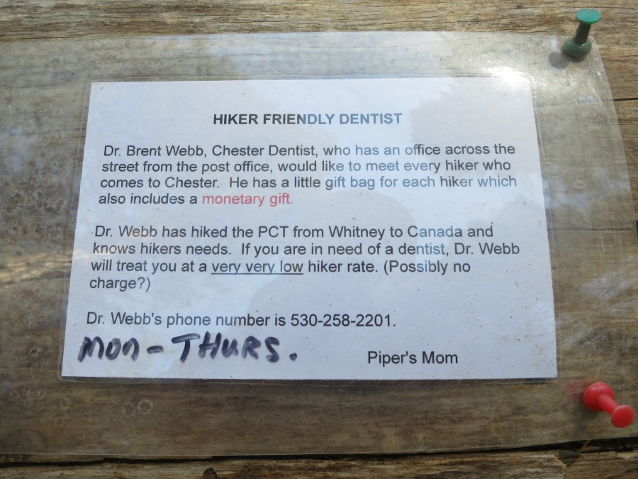
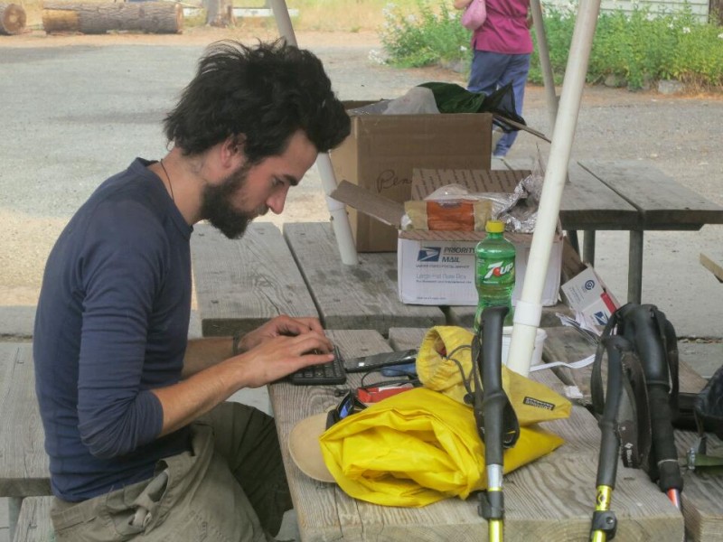
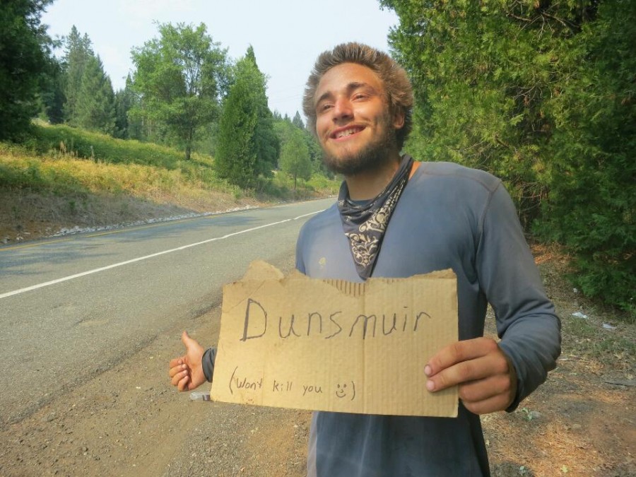
Trail Mail
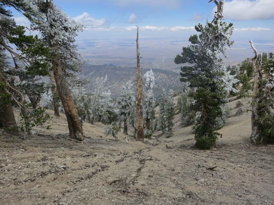
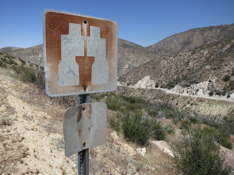
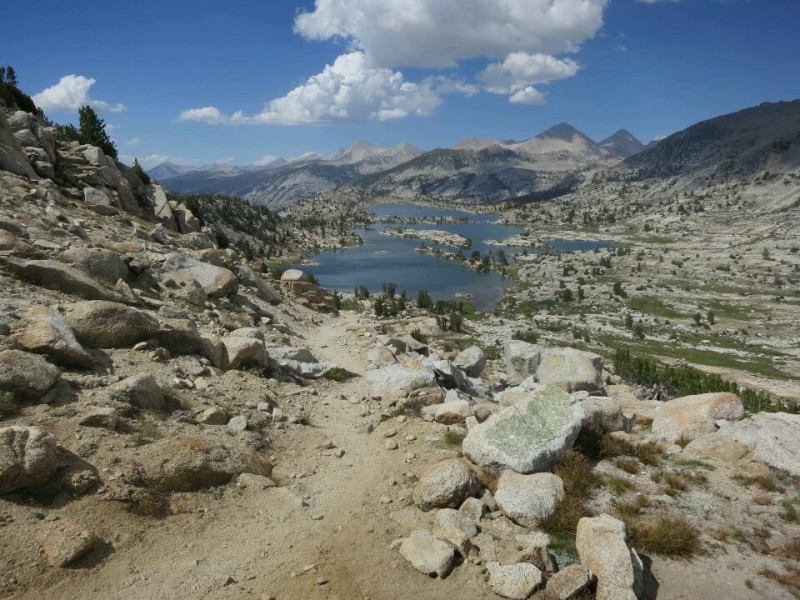
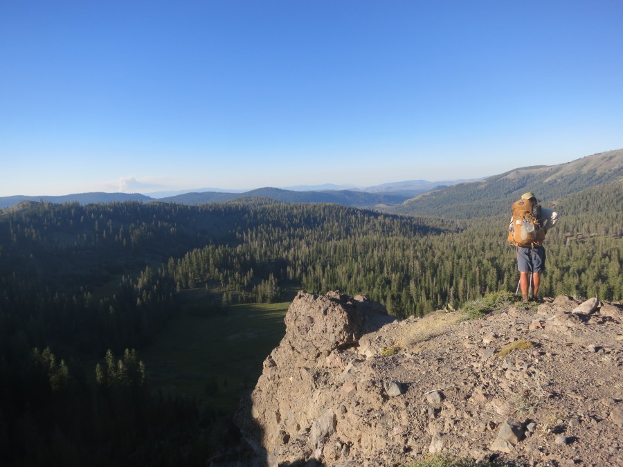
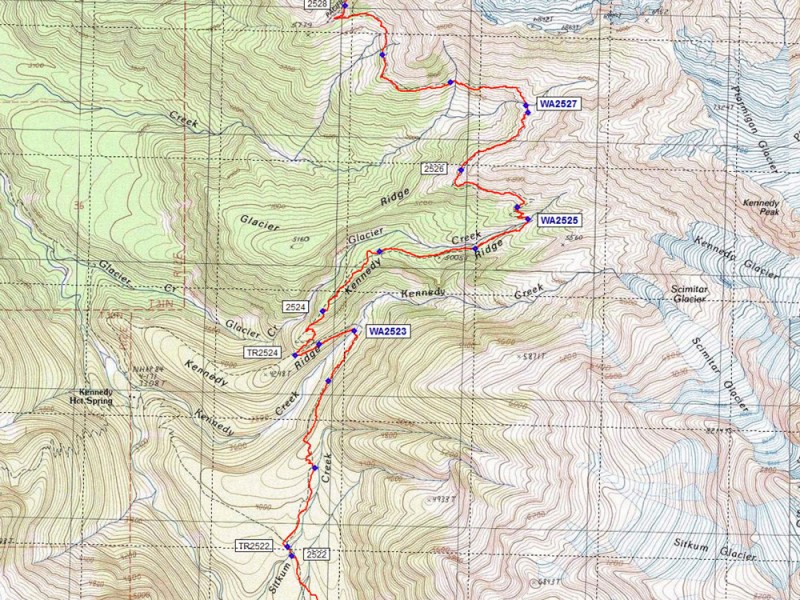
Map (View larger)
Recent Check-ins (View all)
October
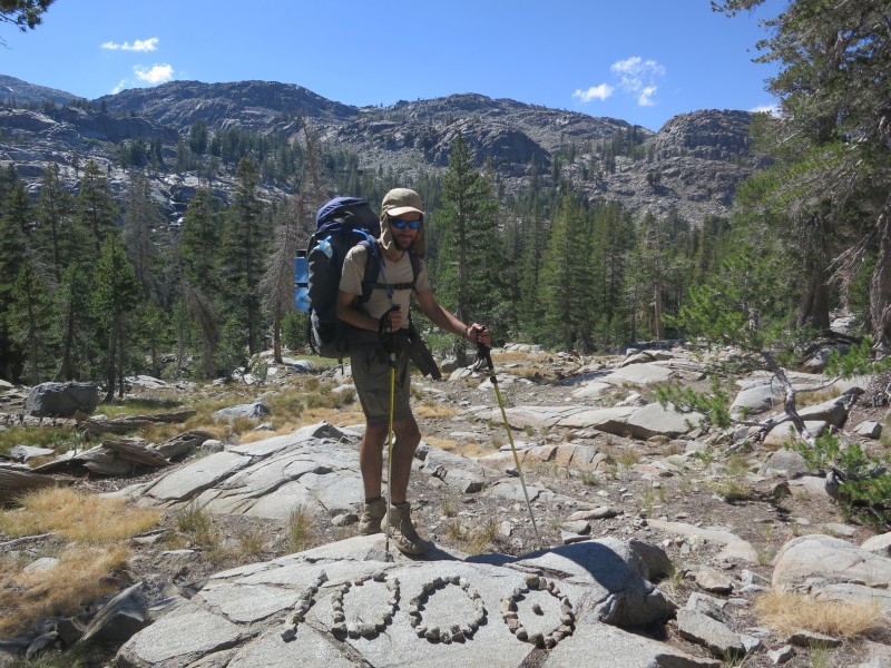
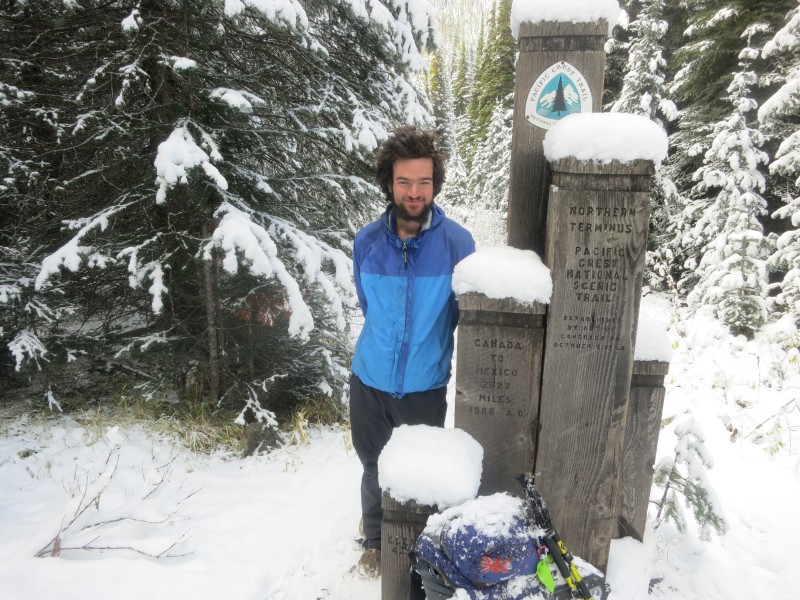
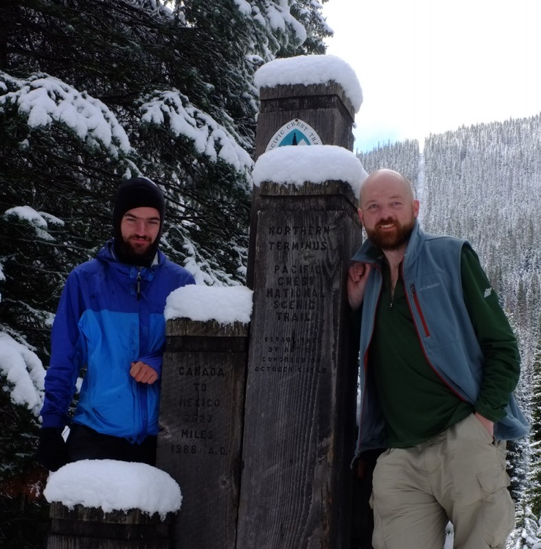
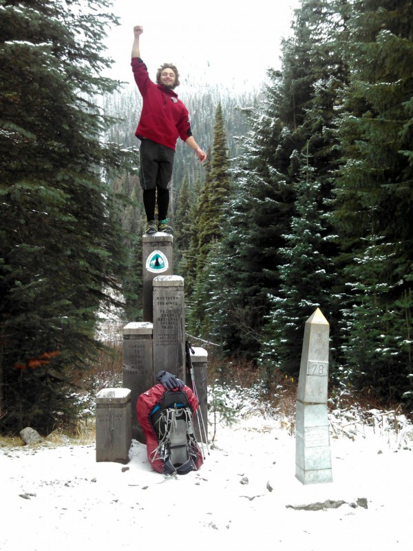
21 I made it.
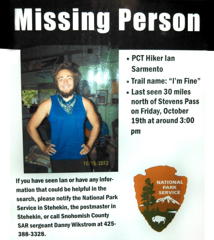
15 About to catch the last bus for the season out of Stehekin and planning to walk out of America in four days time on the last day of my visa...
09 It looks like some bad weather is finally on the way. My rain gear might actually get some use! Tough climbs ahead but getting closer to Canada each day and with great group of fellow stragglers.
September
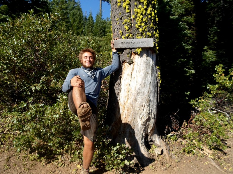
22 Quick stop in Cascade Locks to shower, do laundry, resupply, eat and 'rest'. Across the Bridge of the Gods, over the mighty Columbia river, into Washington today - the first day of autumn.
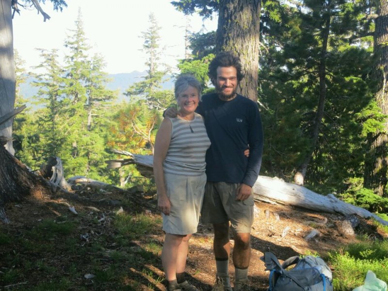
13 Resupply for Washington all sorted with some help from Mum, who is visiting on her way home from Europe. Now it is time to escape Bend and resume the race to Canada.
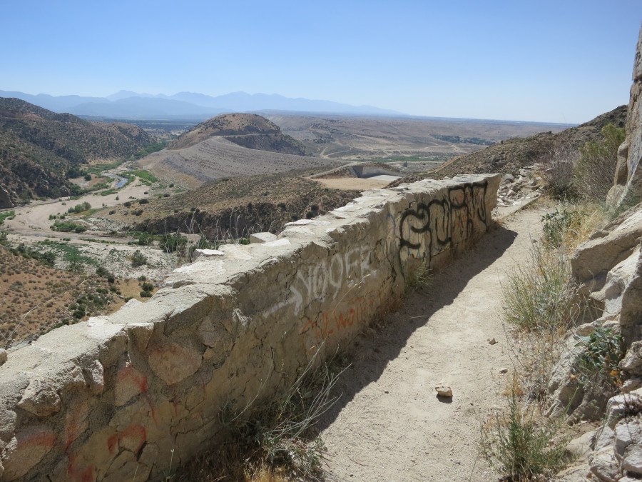
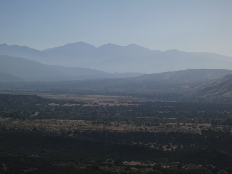
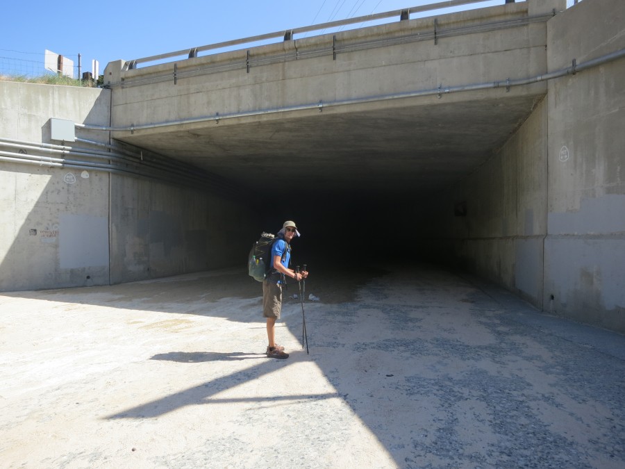
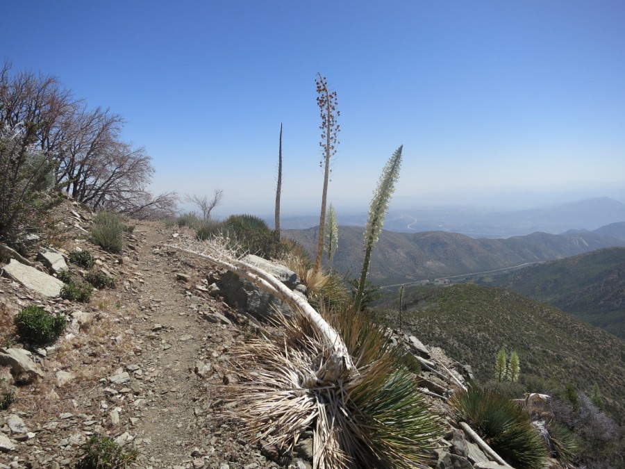
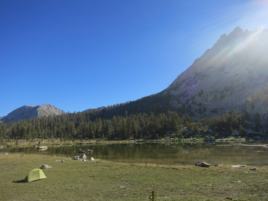
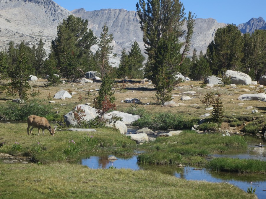
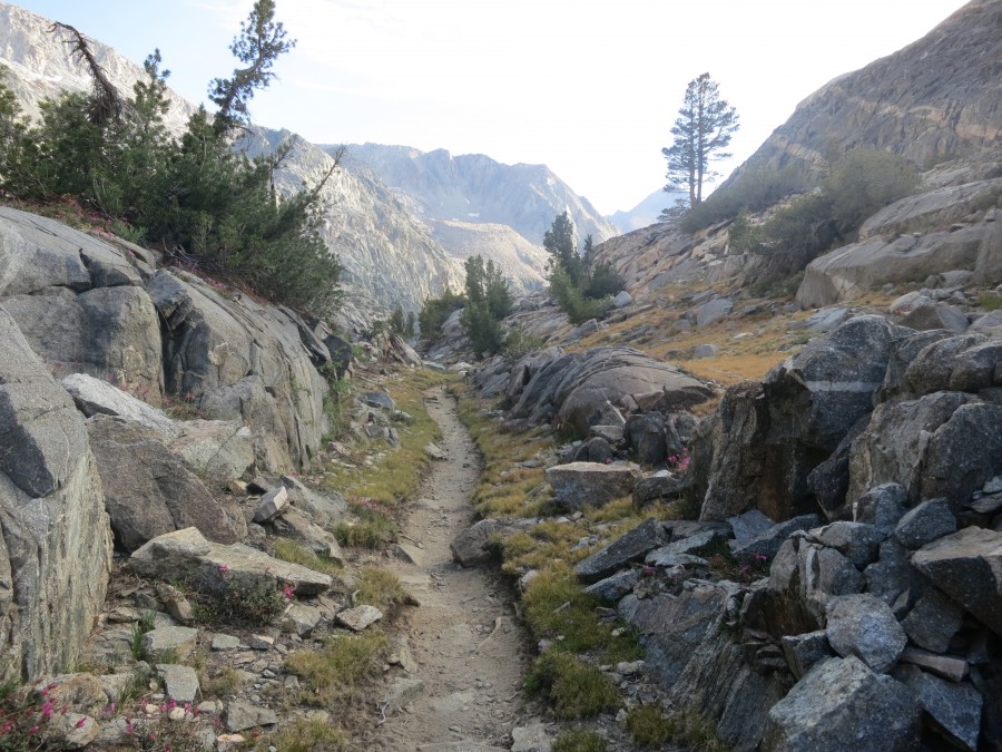
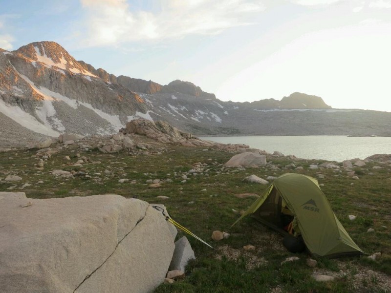
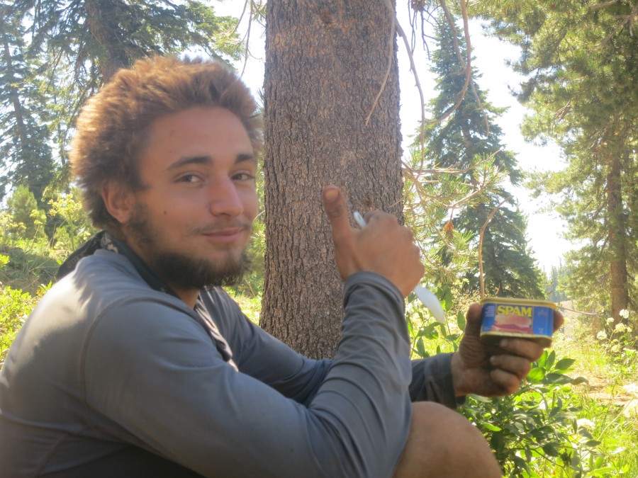
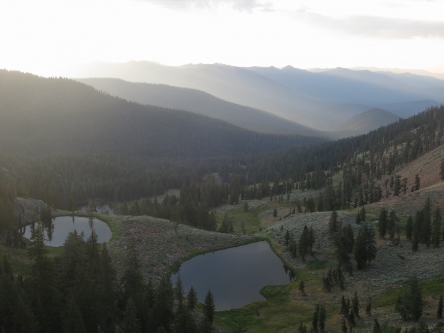
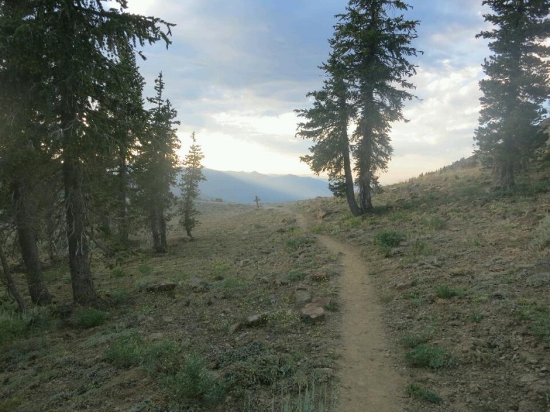
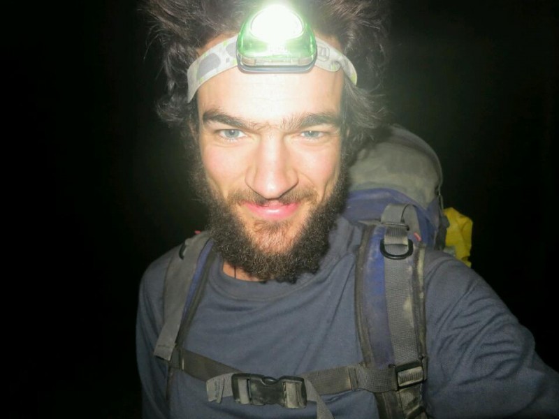
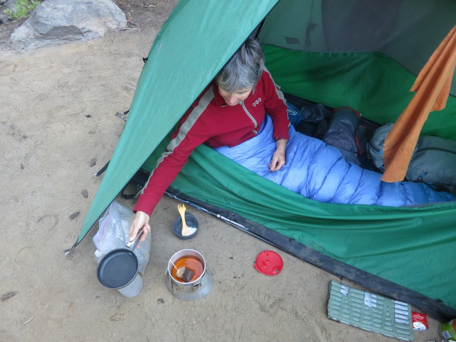
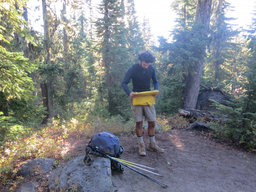
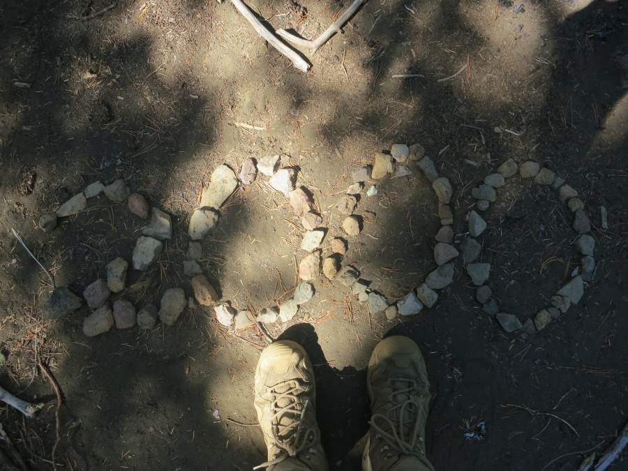
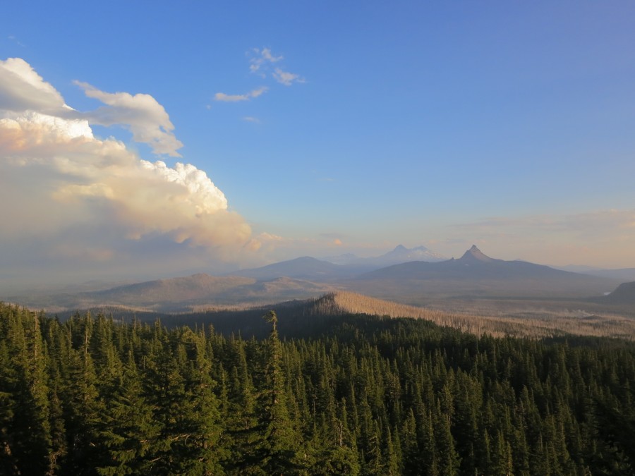
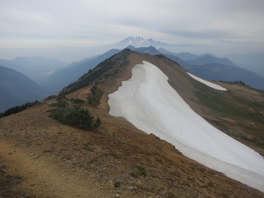
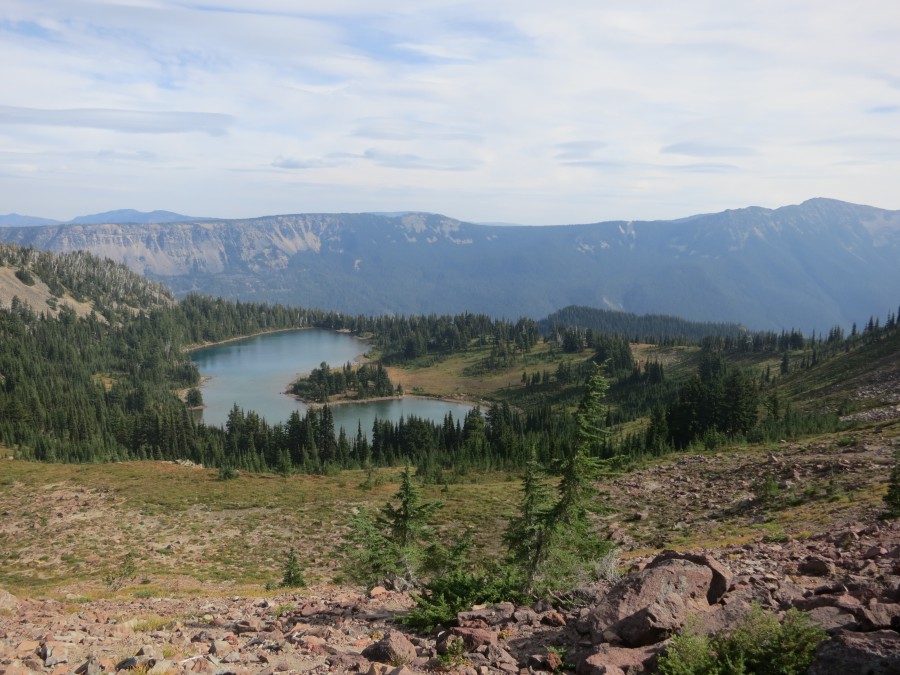
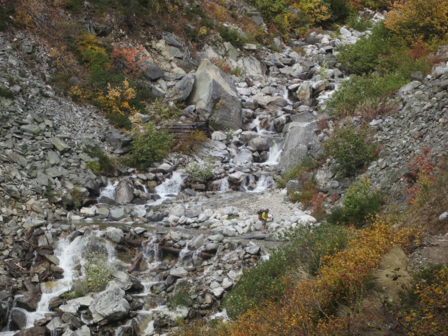
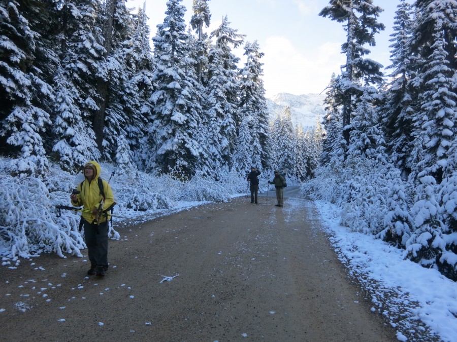
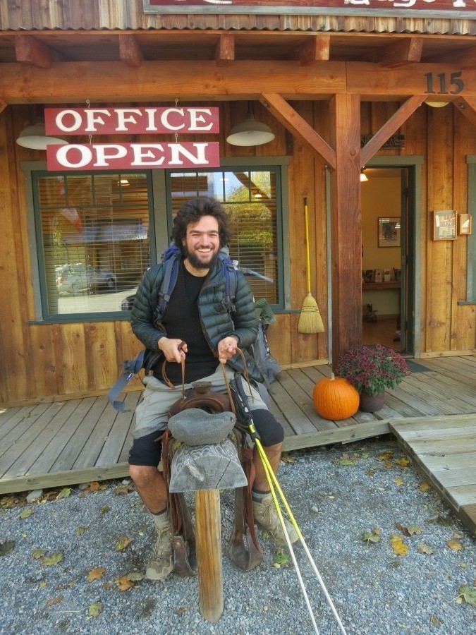
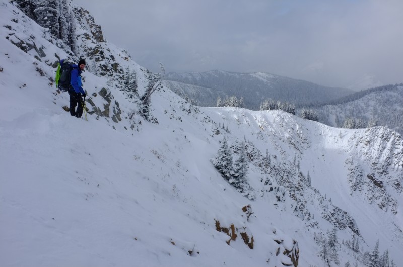
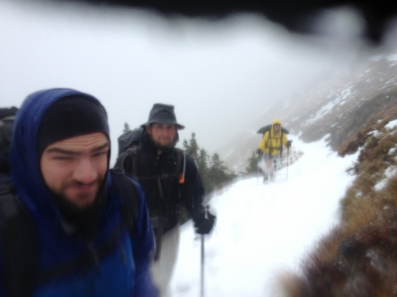
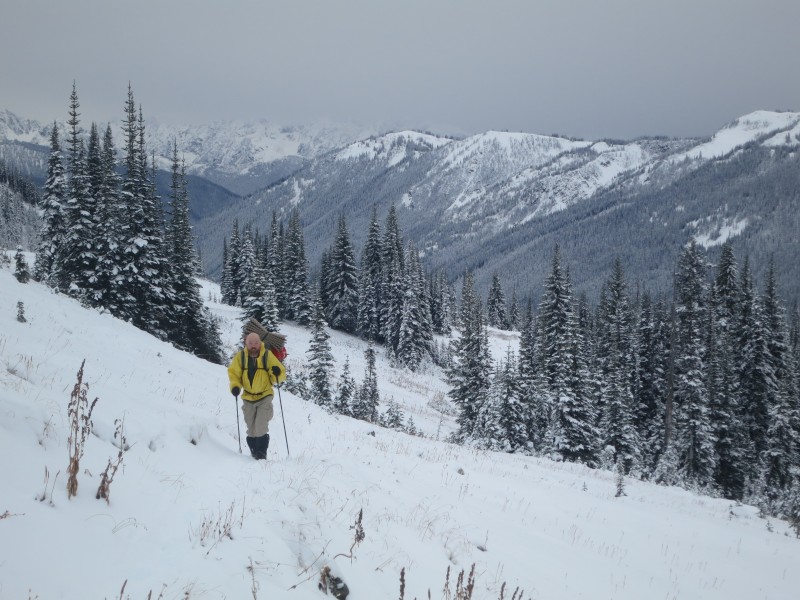
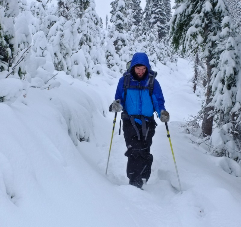
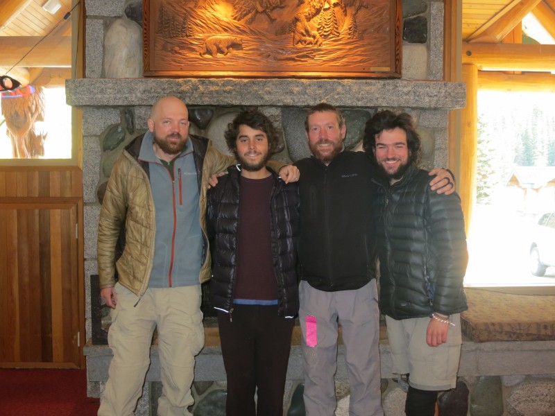
Photos (View all)
Blog Archive
November30 True to the thru (Part 4 of 4)
30 The waiting game (Part 3 of 4)
30 Something was wrong (Part 2 of 4)
30 A story that needs to be told (Part 1 of 4)
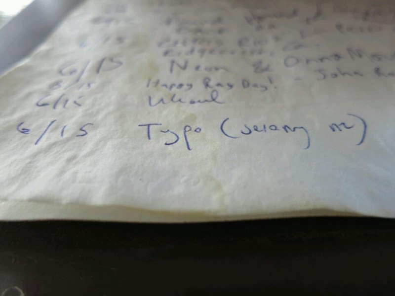
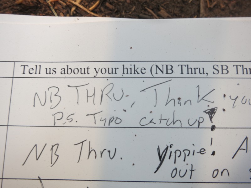
21 "I knew Typo would make it" (Part 6 of 6)
19 Throwing the Hail Mary (Part 5 of 6)
10 Up and down, but not out (Part 4 of 6)
06 Crossing Cutthroat Pass (Part 3 of 6)
03 Warming up in Winthrop (Part 2 of 6)
October
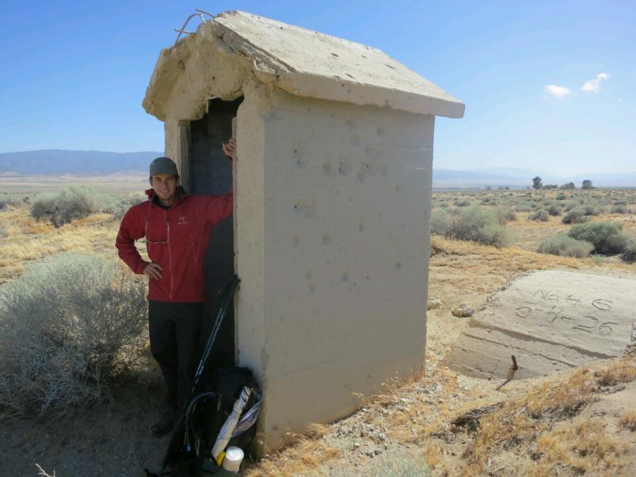
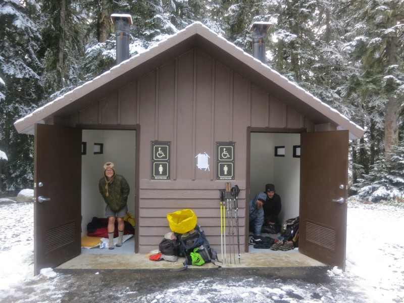
30 We're sleeping in a toilet (Part 1 of 6)
25 Another radio interview (Audio)
21 I made it
04 Nearly there
September
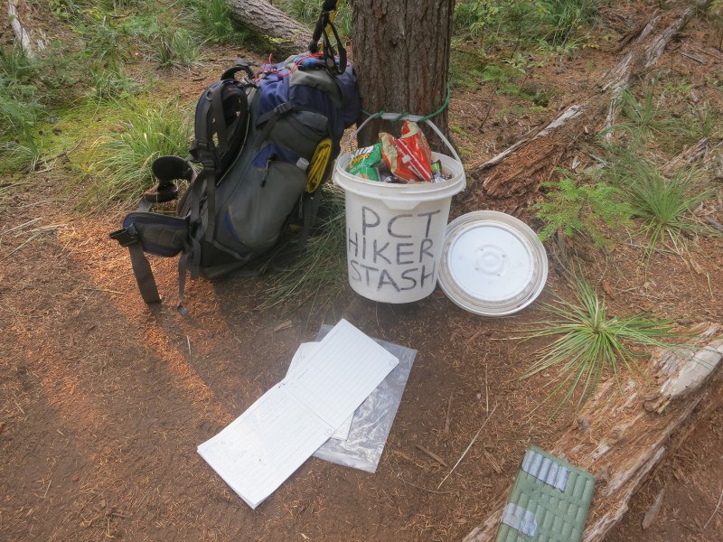
29 Trail Magic
19 Walking with Mum
August
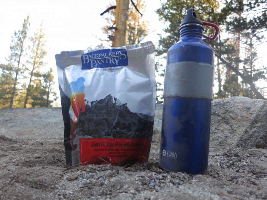
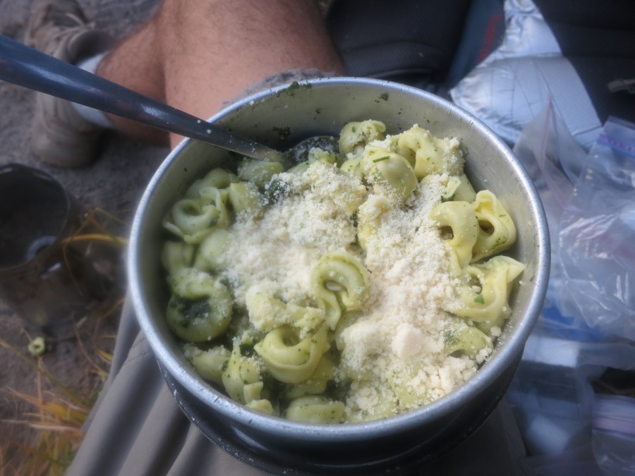
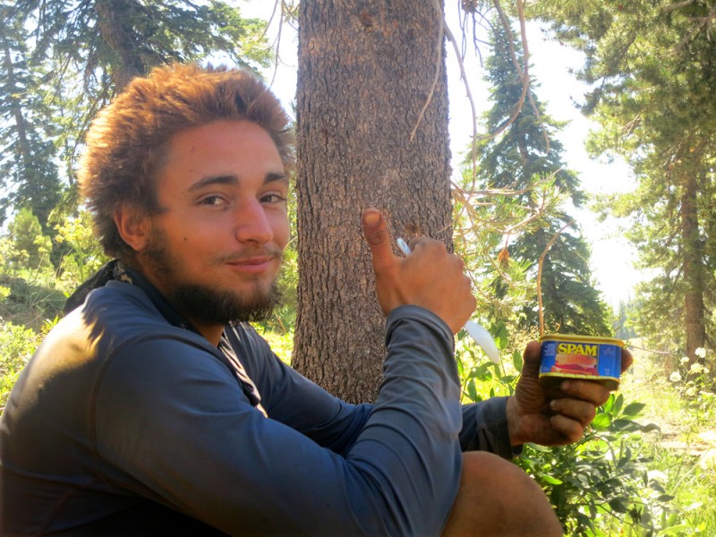
28 Cold food
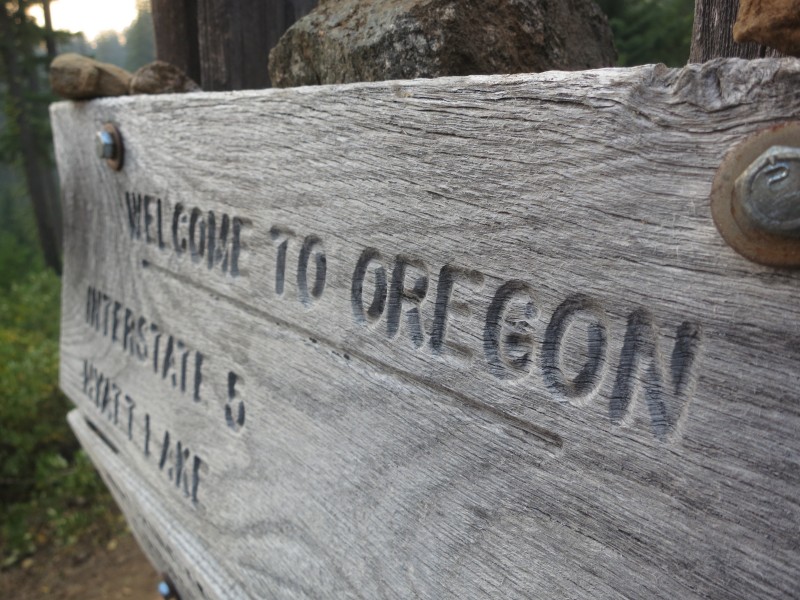
28 Hello Oregon!
20 40 miles in one day
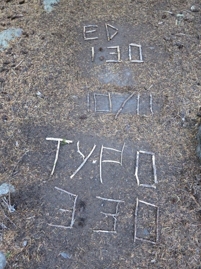
08 Official trail name: Typo
06 (Humbolt) Summit Fever
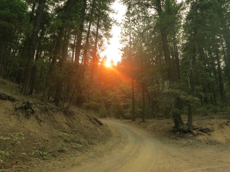
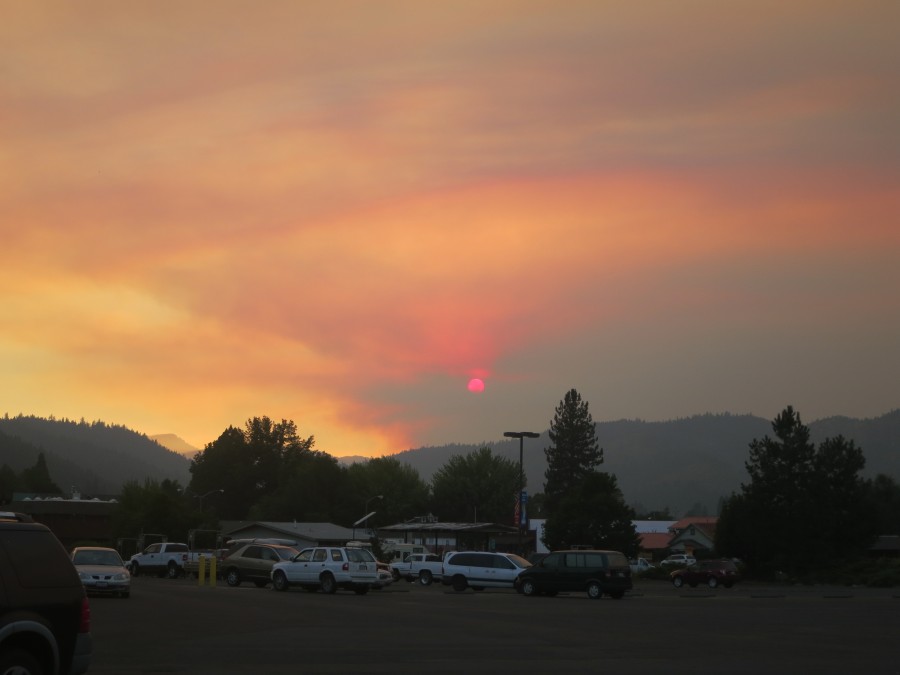
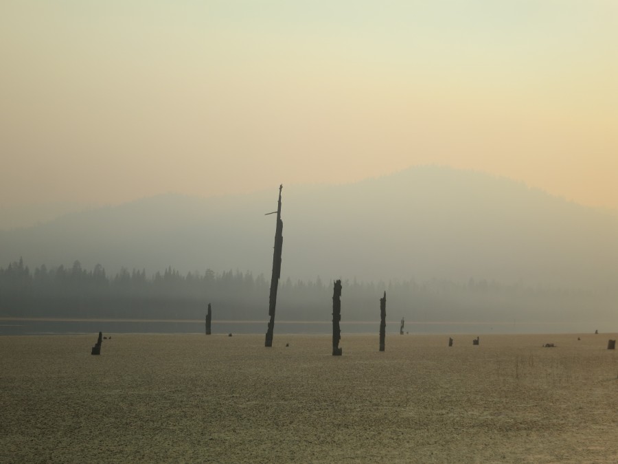
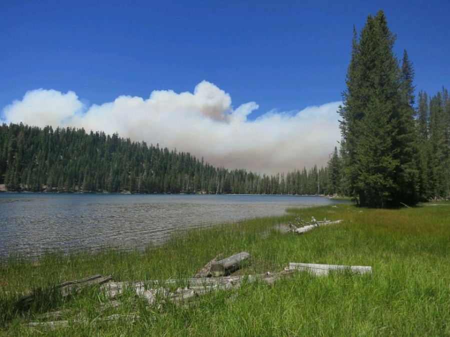
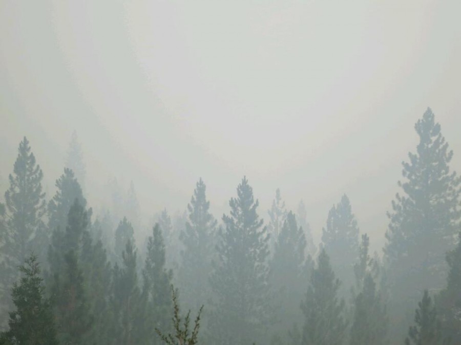
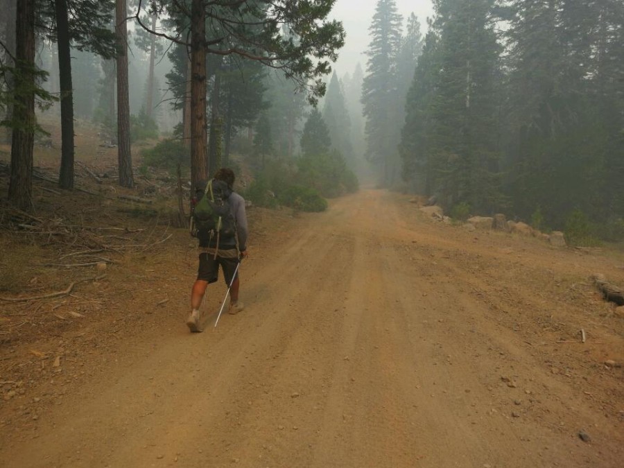
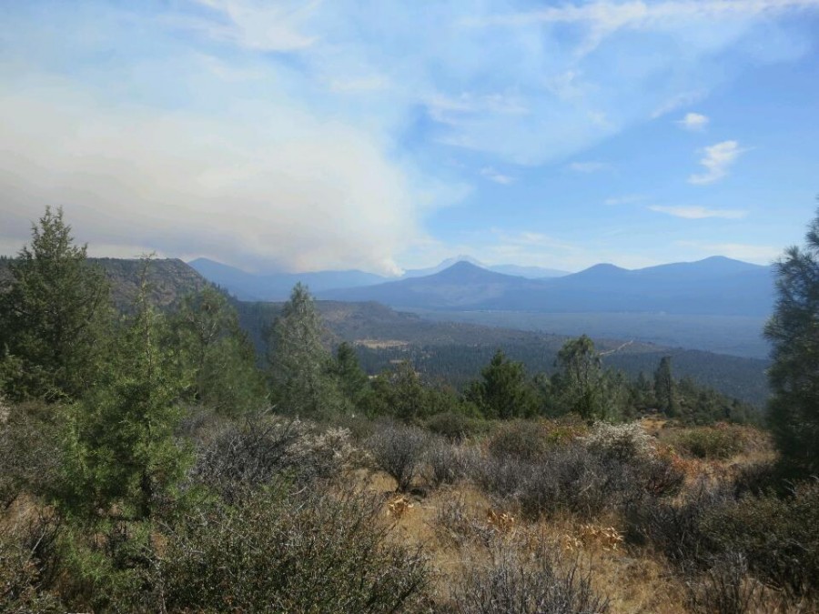
06 Road walking around a wildfire
July
30 Two trail birthdays
18 A picture is worth...
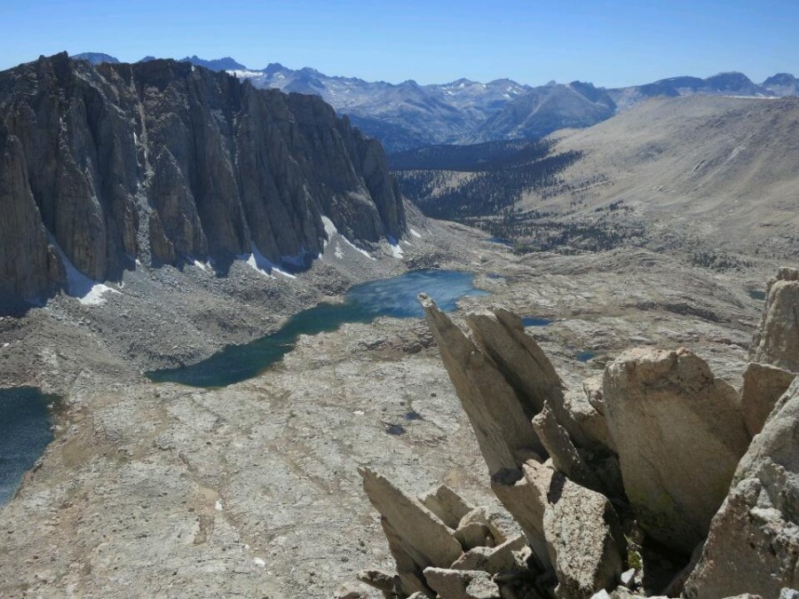
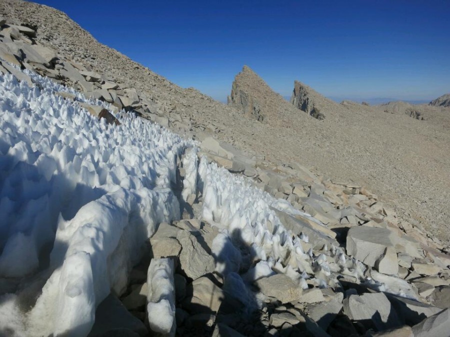
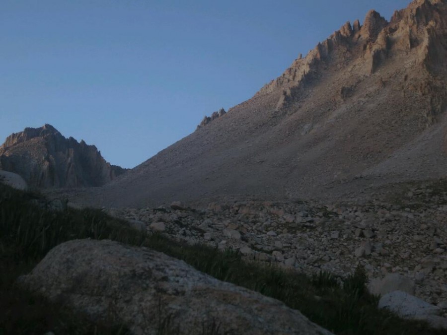
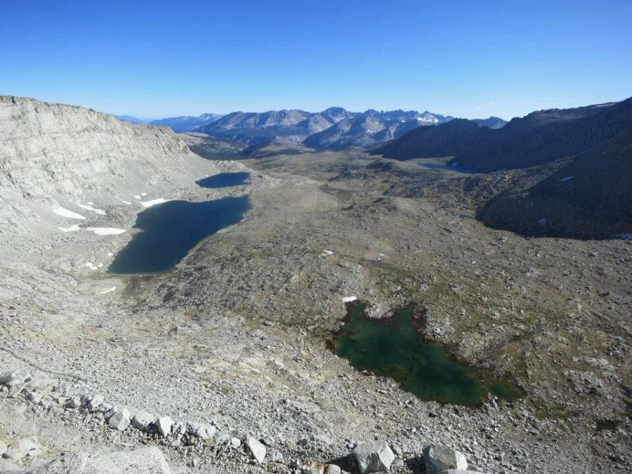
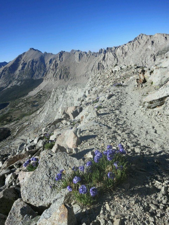
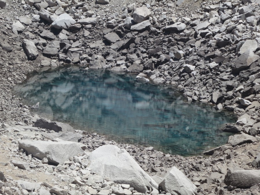
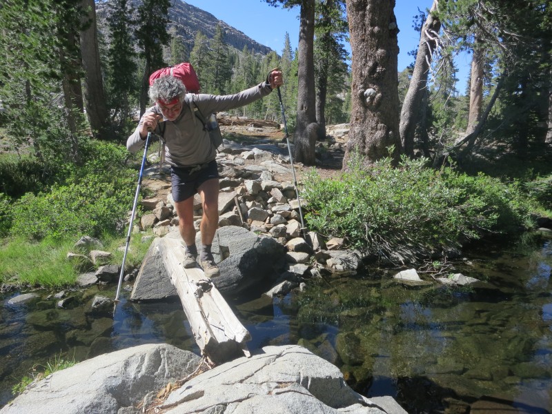
10 Pain and gain in the Sierra
June
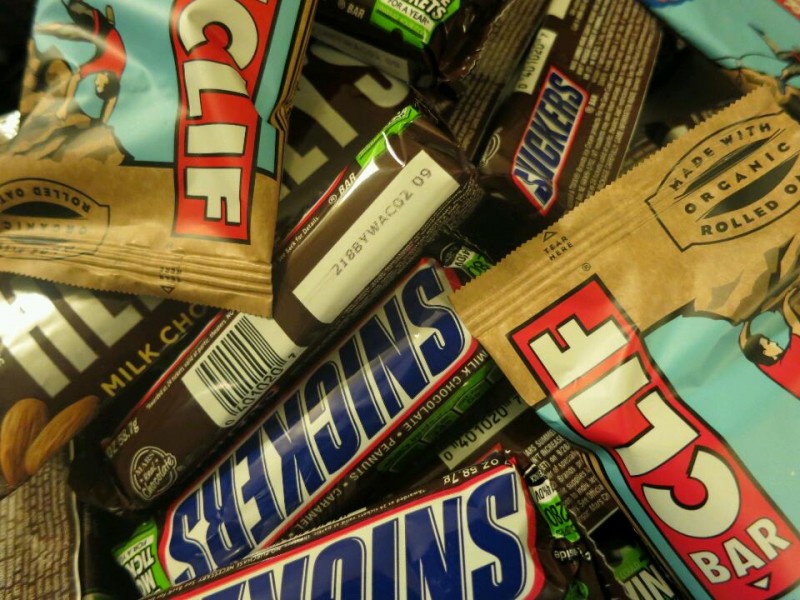
28 Hiker hunger
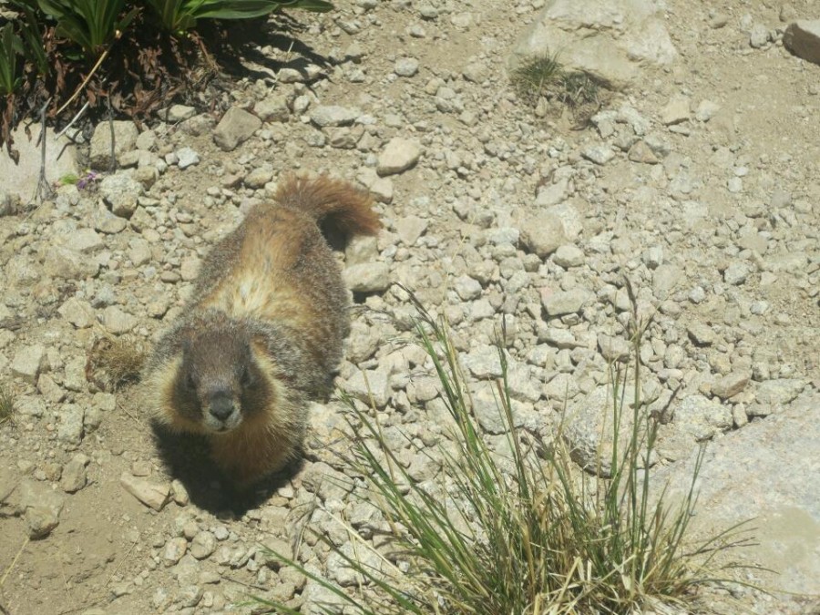
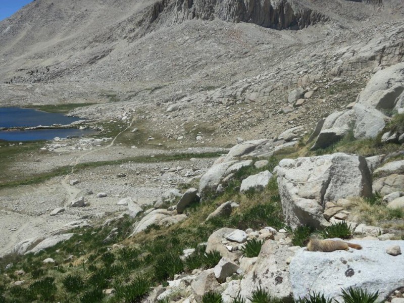
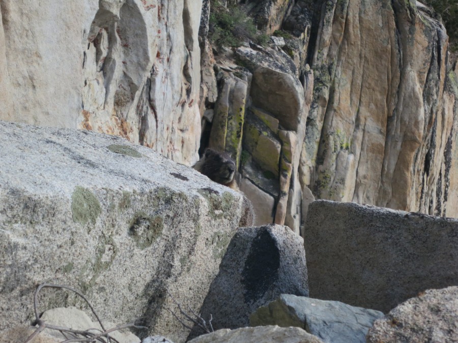
27 The inquisitive marmot
19 Stage one survived
05 Live from the Mojave (Updated)
04 I just walked 500 miles...
May
31 Current nemesis: Poodle dog bush
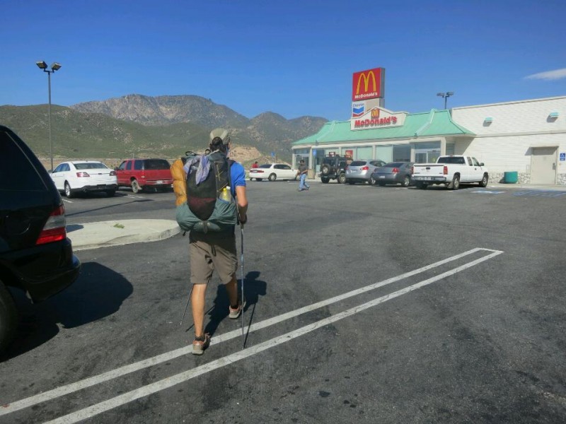
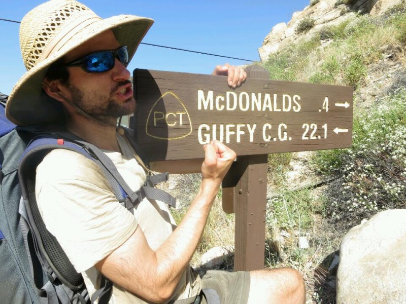
23 Mexico to McDonald's
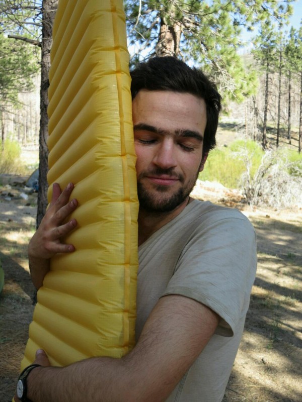
23 Gear review: Sleeping pad
18 Hot and getting even hotter
12 Videos
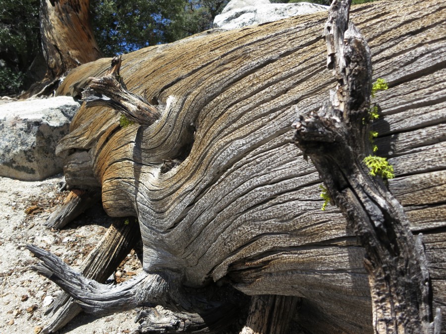
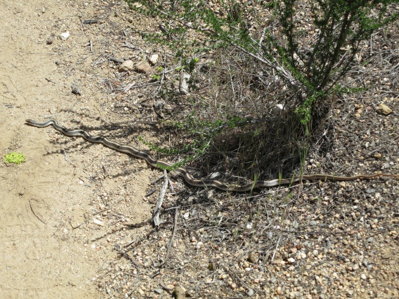
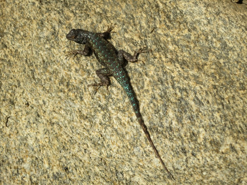
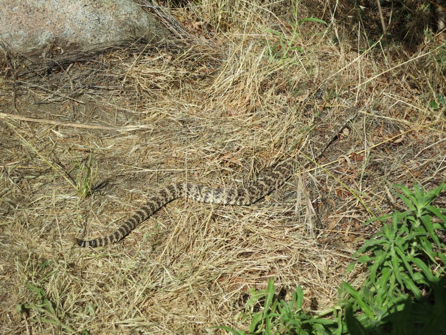
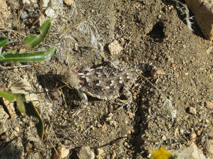
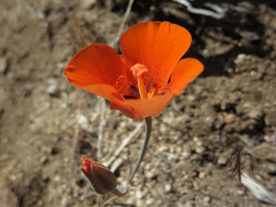
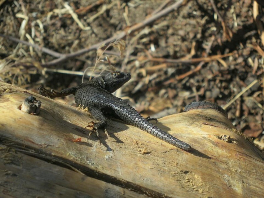
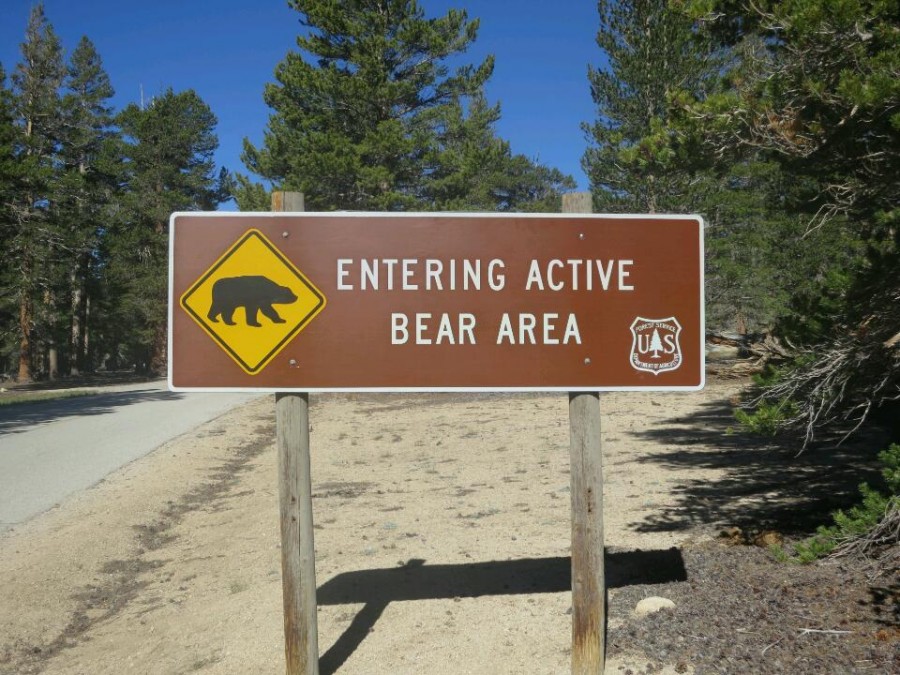
12 Wildlife
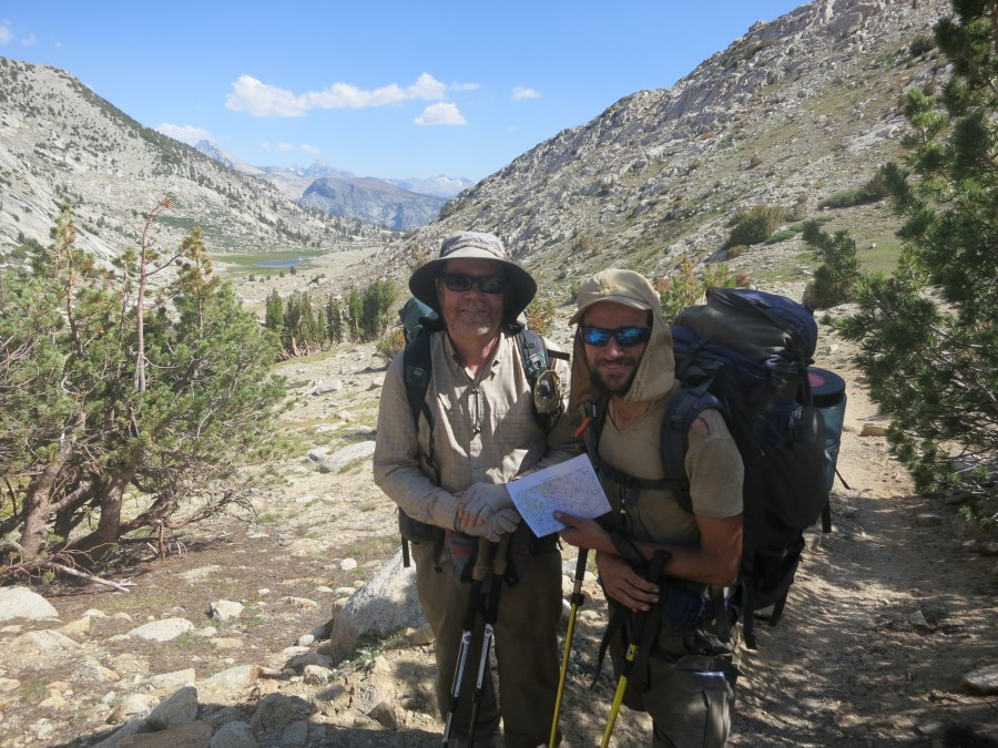
10 People on the trail: Sunset
05 Eagle Rock
03 Hiker discount: 100%
April
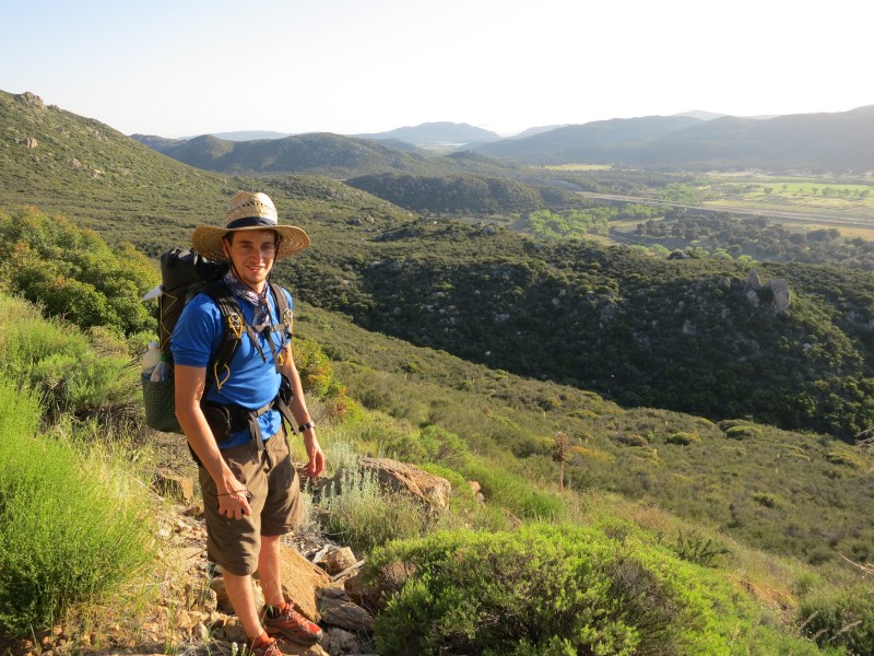
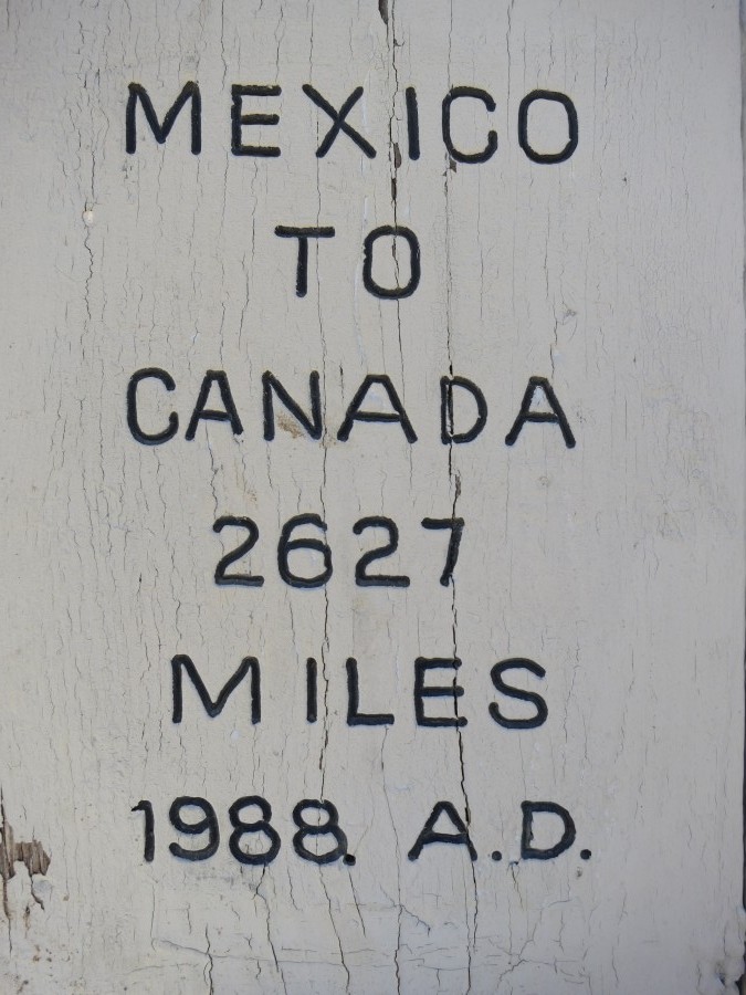
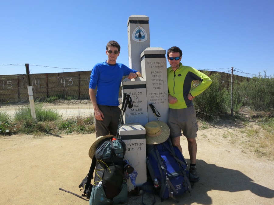
30 The beginning
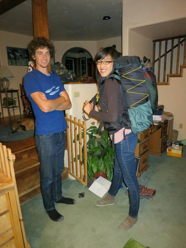
25 Final preparation
17 Blogging along the way
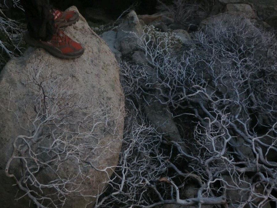
16 No publicity is bad publicity
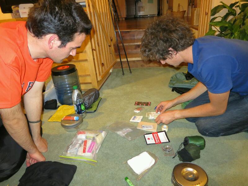
08 Walking before the walk
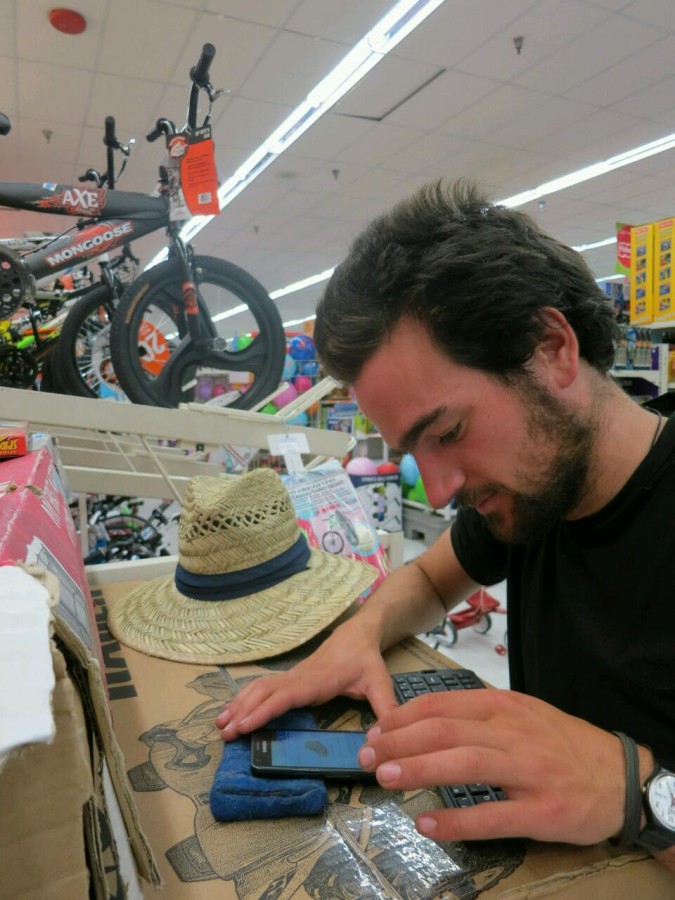
08 Maps for the trail

 Designed by
 Developed by
/
Developed by
/ Icons by