Something was wrong (Part 2 of 4) (Posted 30 November 2012, 08:07pm)
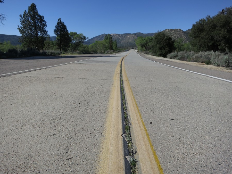
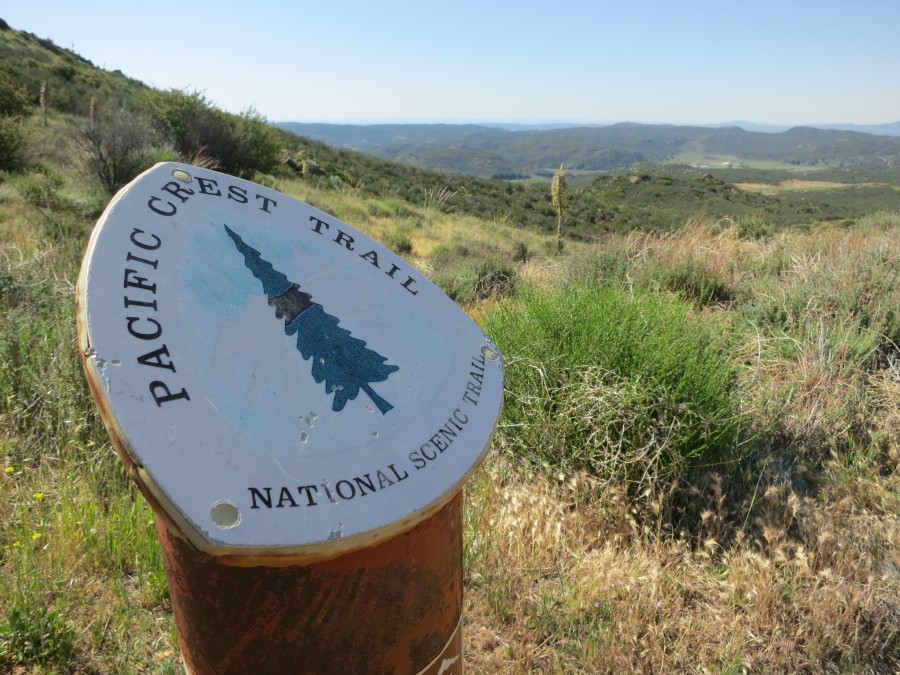
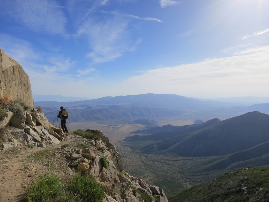
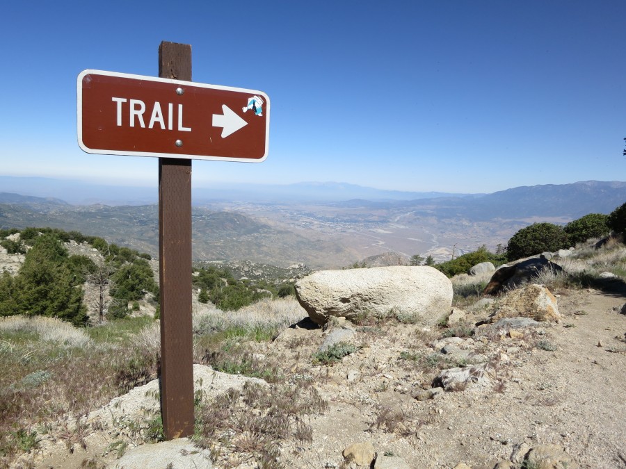
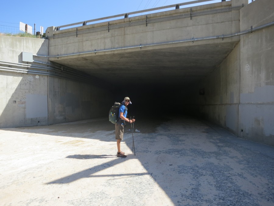
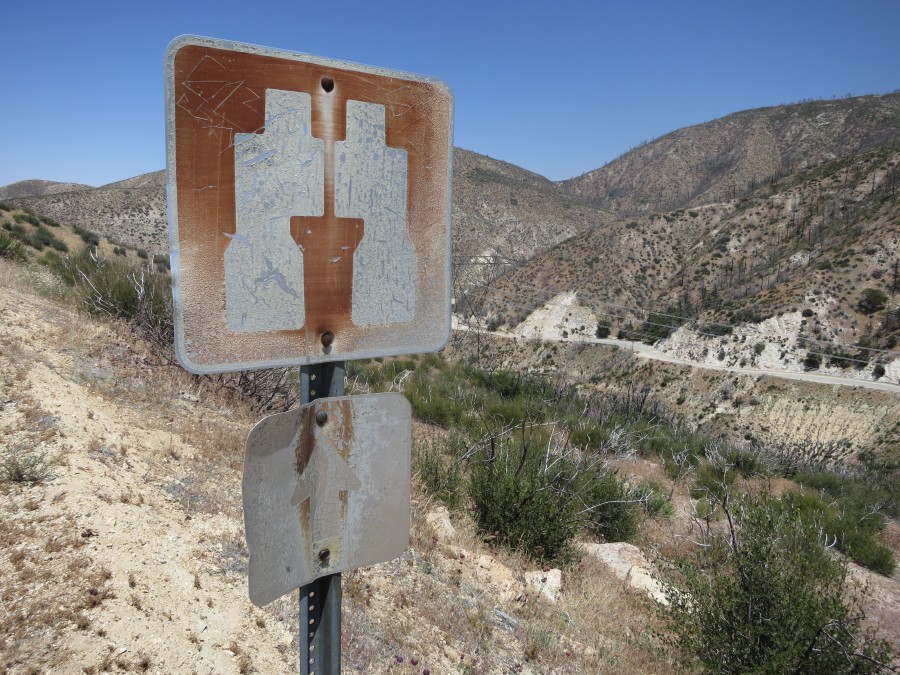
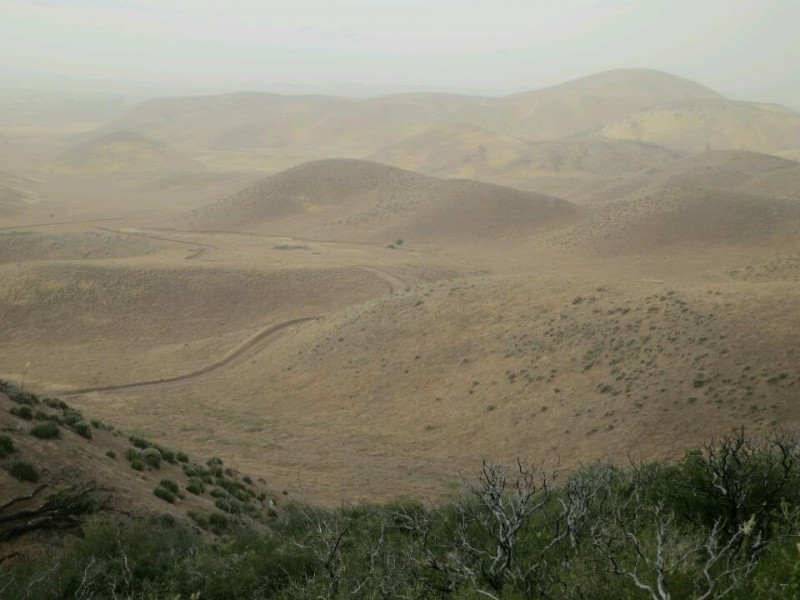
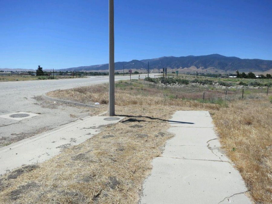
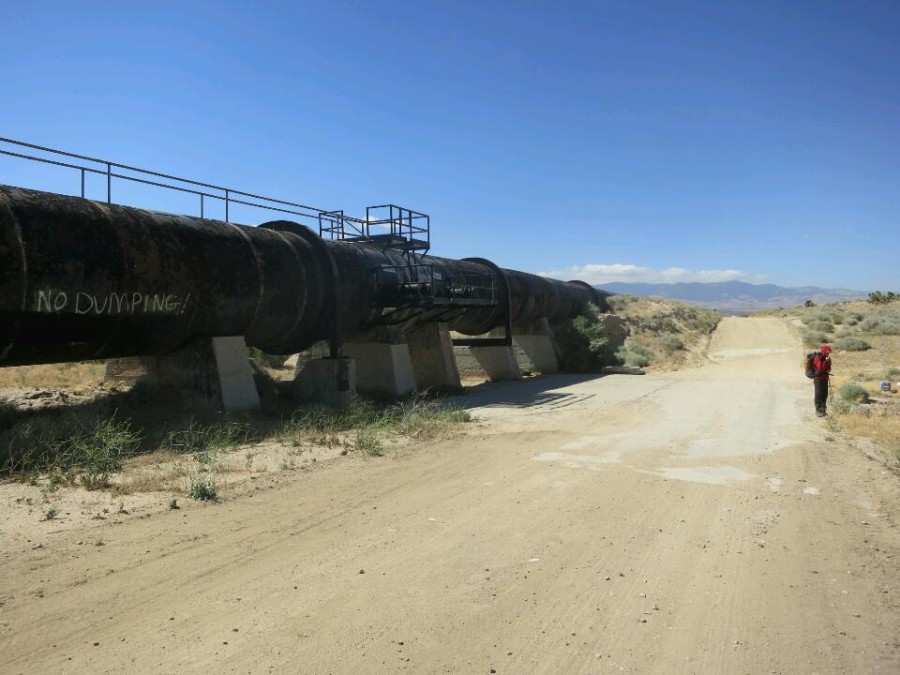
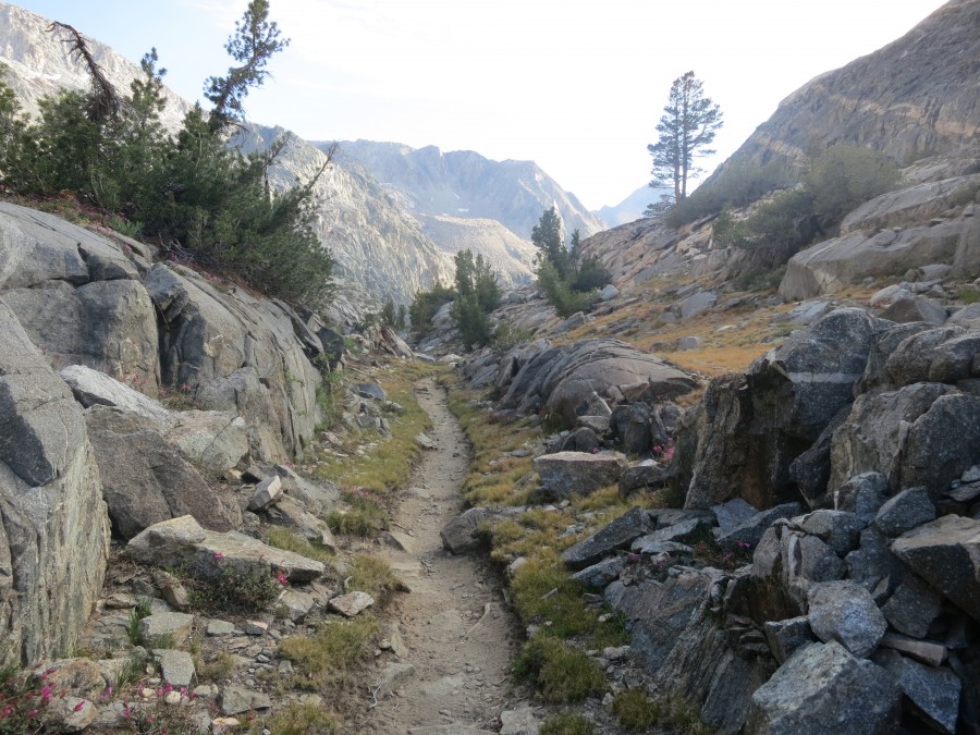
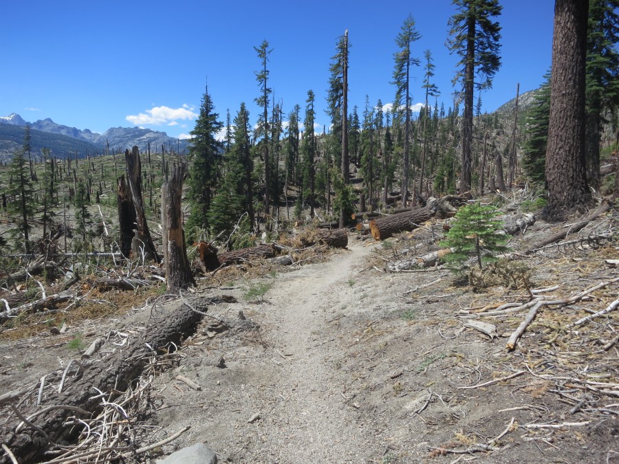
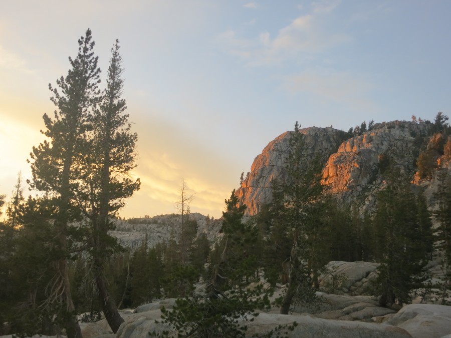
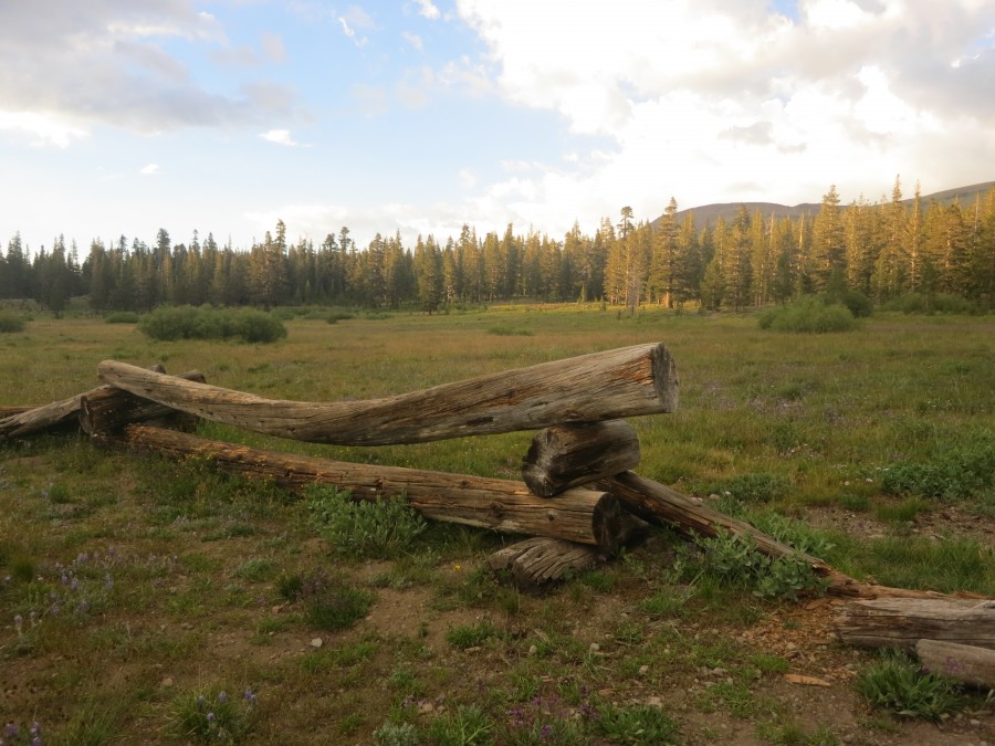
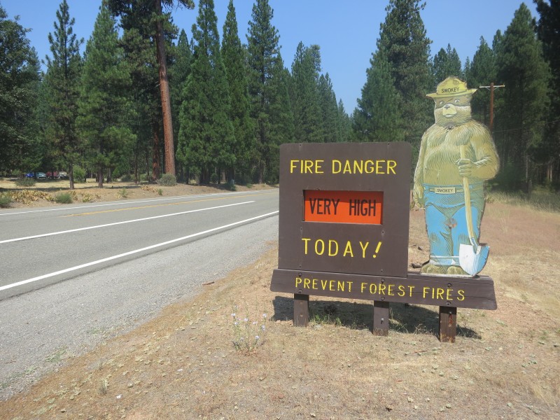
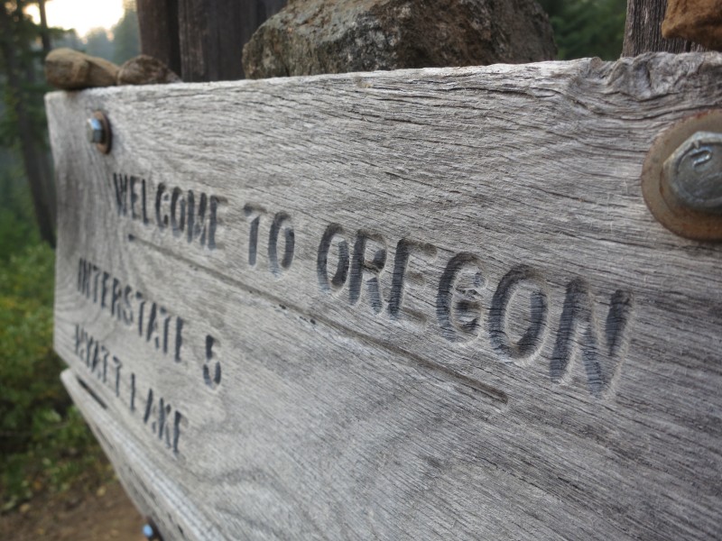
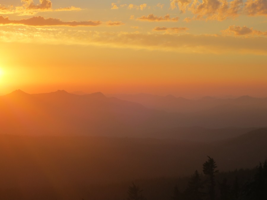
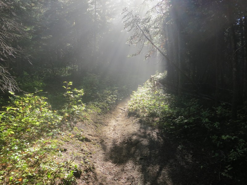
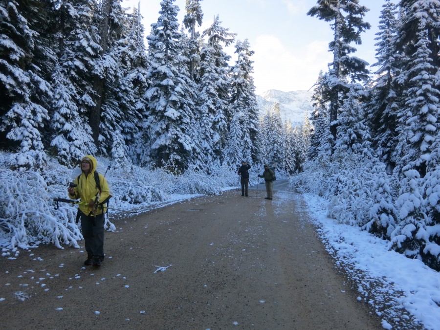
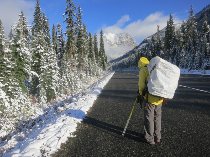
The White Chuck Road sign in better weather. Photo by David Baxter.
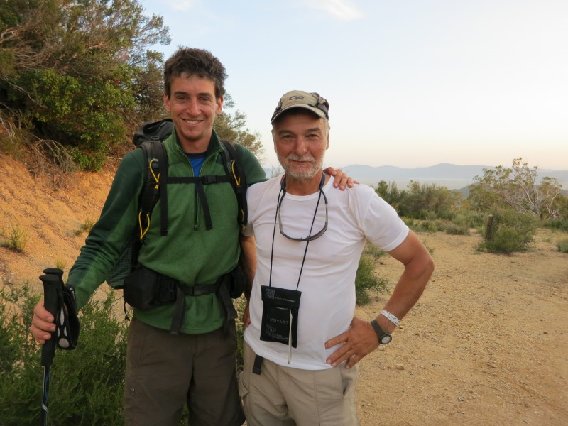
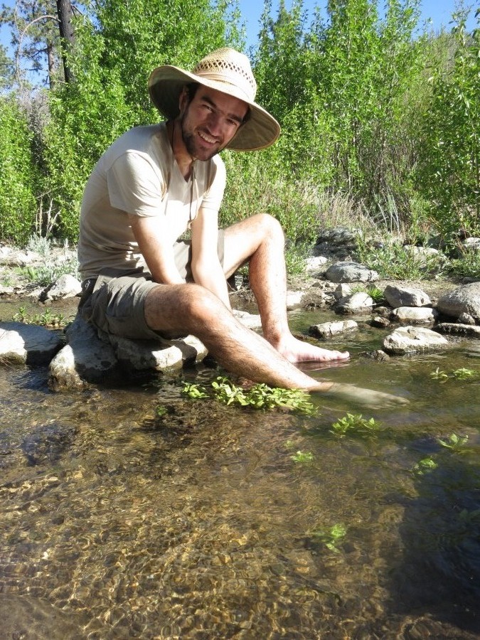
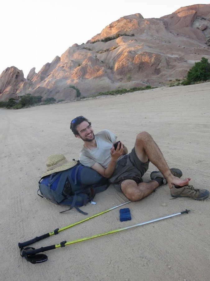
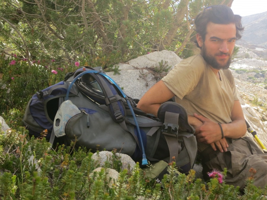
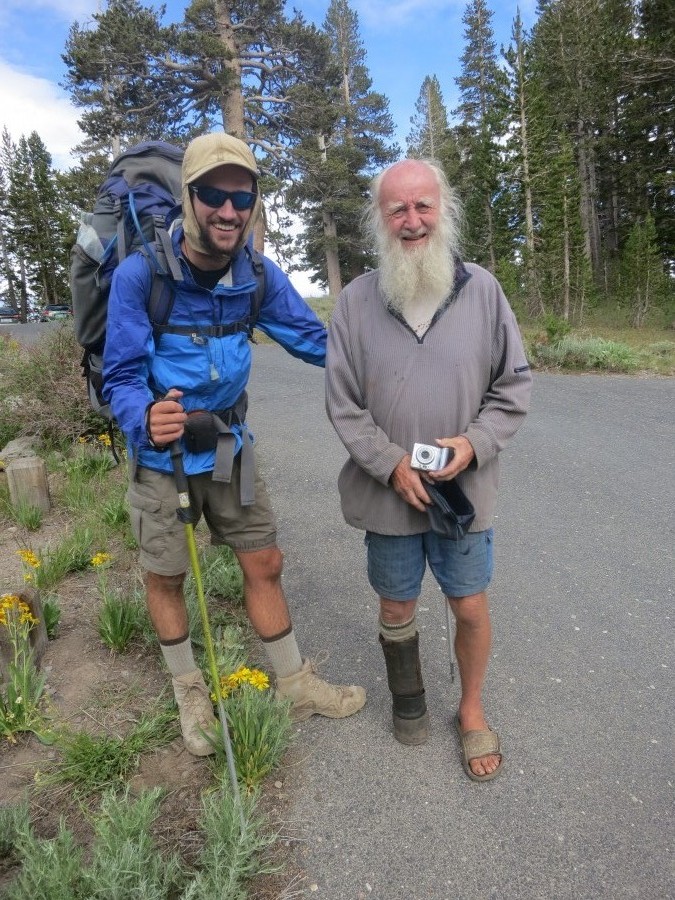
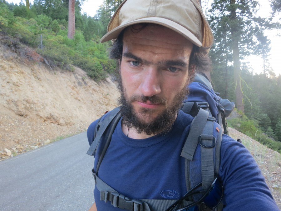
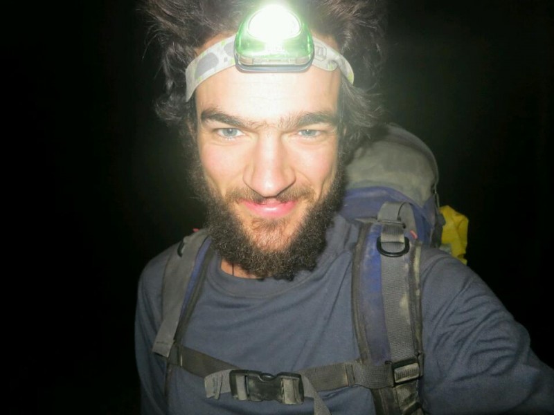
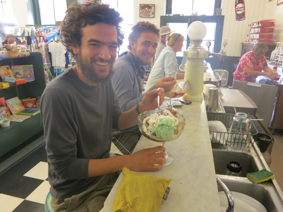
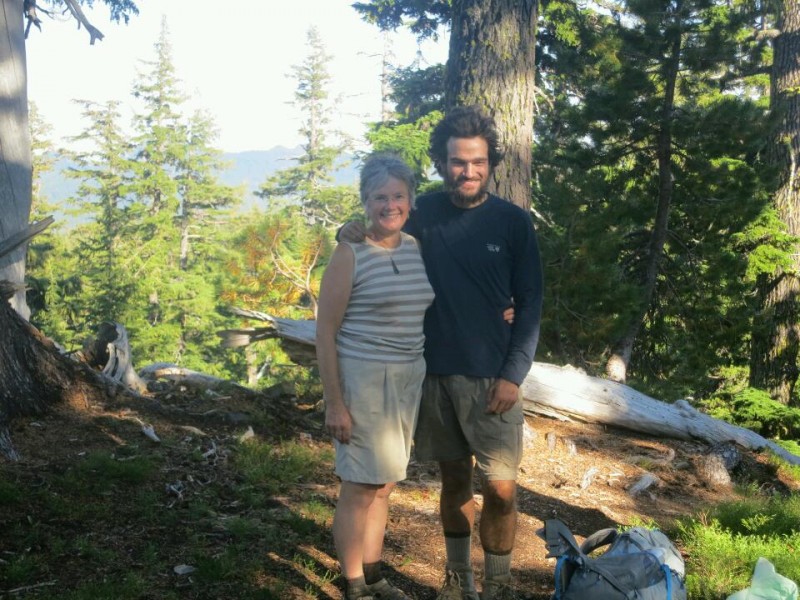
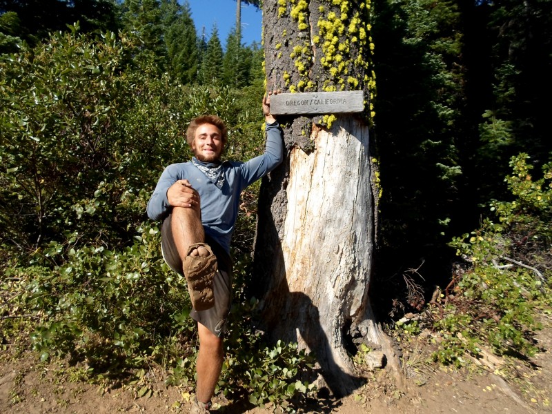
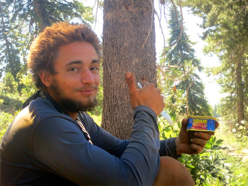
This is part two of the story of I'mfine's adventure. Excerpts from his journal are italicised. You can read part one here.
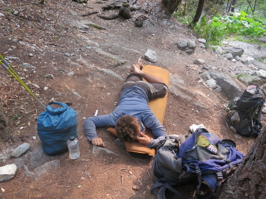
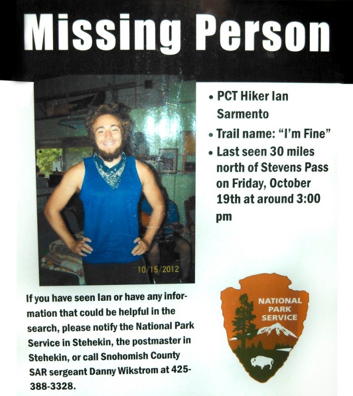
It wasn't unusual not to hear from I'mfine - he didn't carry a cellphone and only kept in sporadic contact. But what on earth was taking him so long? I wasn't the only person wondering and a message was posted online asking if anyone had seen him. It emerged that Bouncer and Storytime had seen him last, defiantly pushing on into a storm when they had decided to hunker down and then subsequently turn back. Andrea Dinsmore, a trail angel who I'mfine had stayed with on 16 October, called ahead to the post office at Stehekin. Stehekin was five days walk from her house and I'mfine had planned to resupply there. He hadn't picked up his packages and two weeks had passed. Something was wrong...
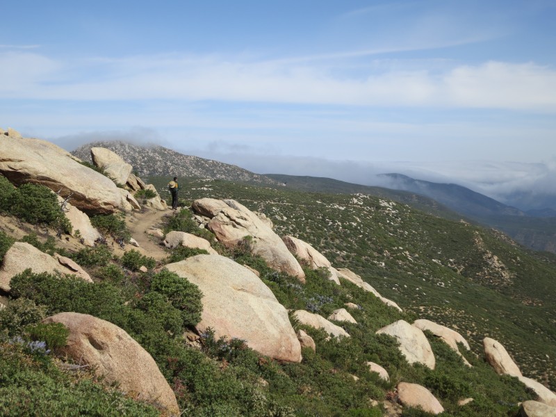
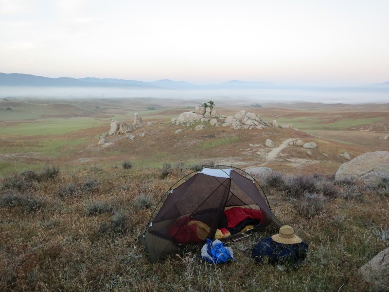
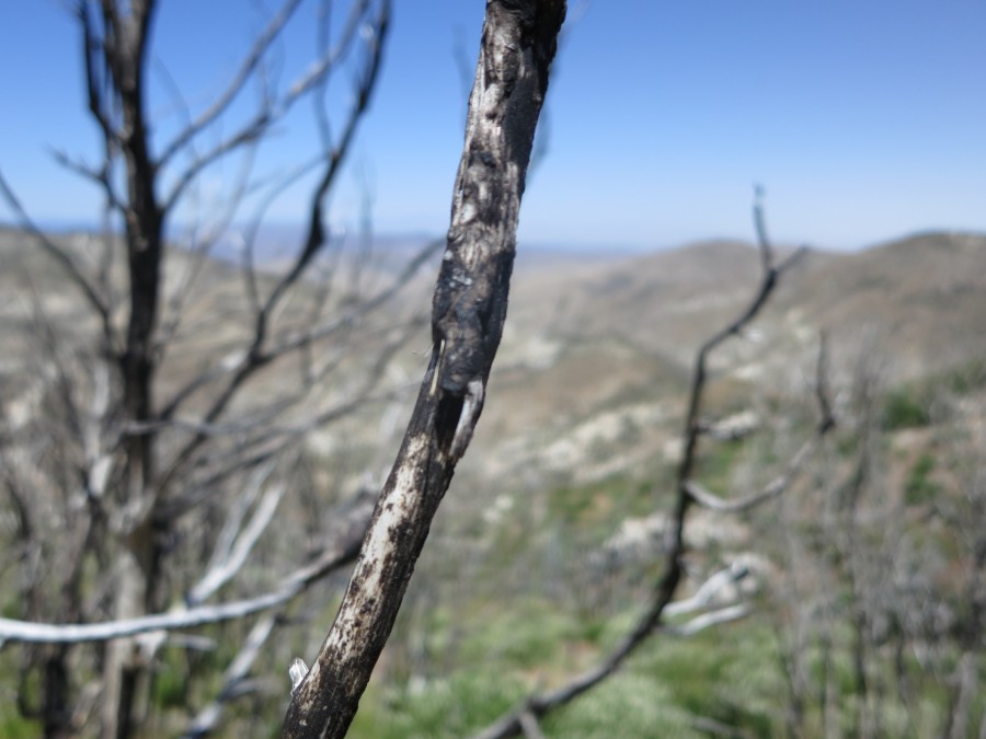
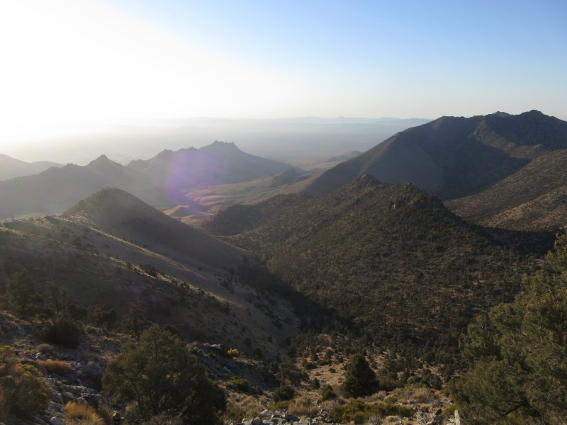
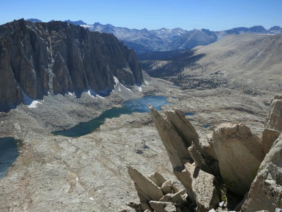
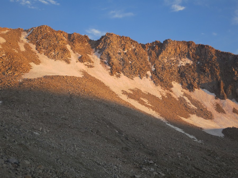
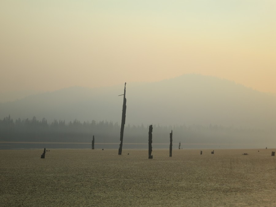
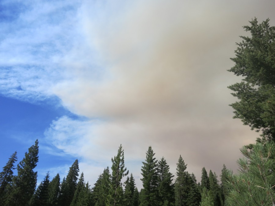
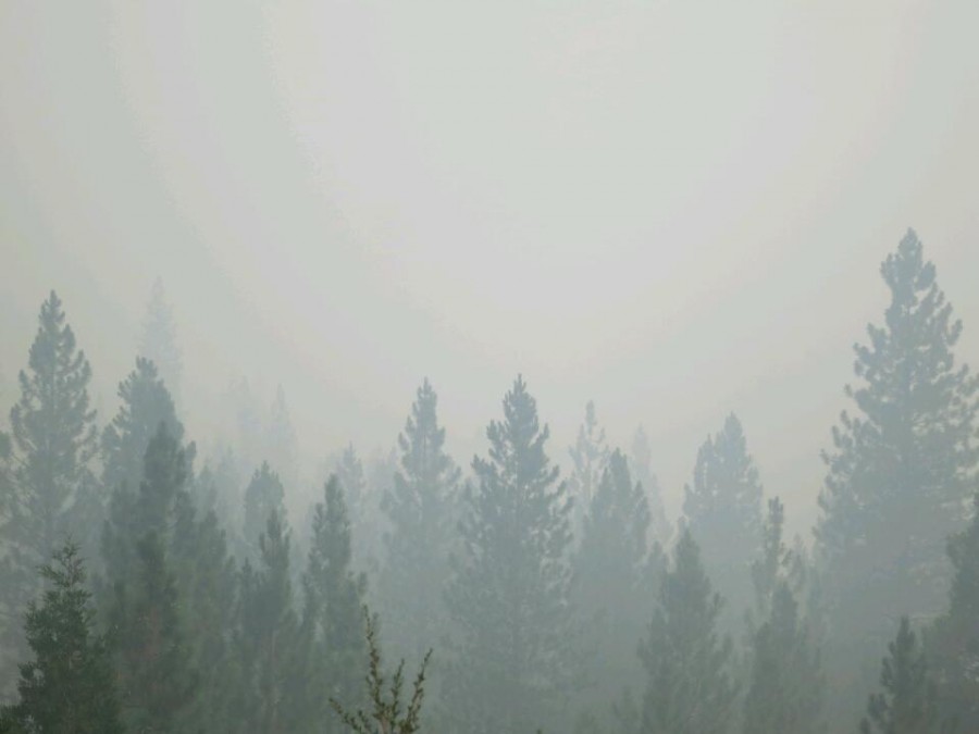
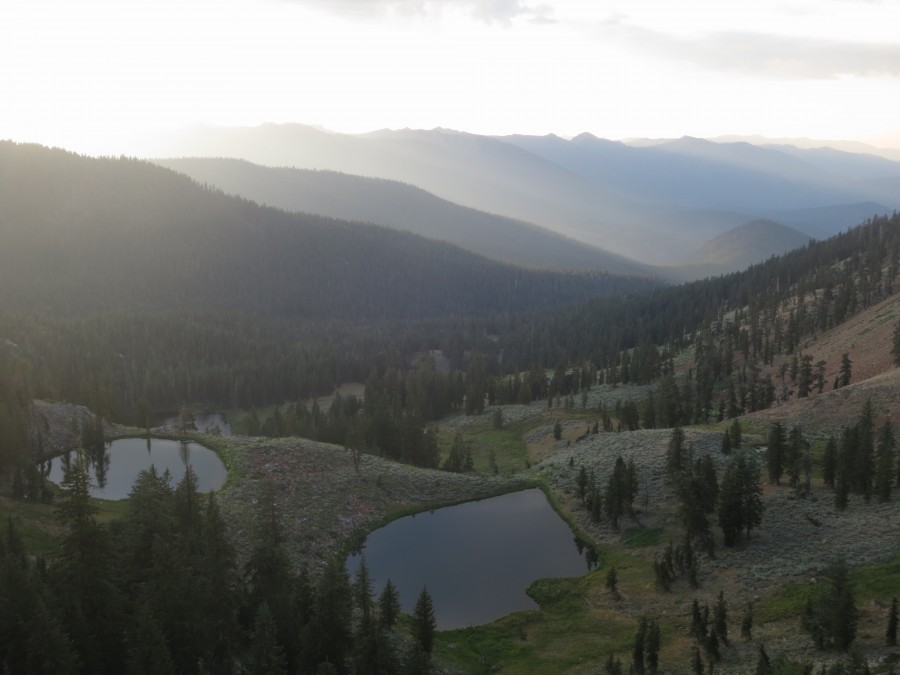
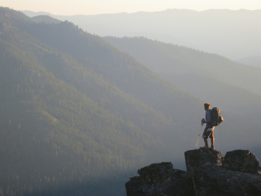
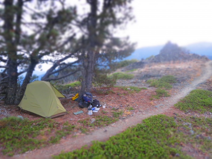
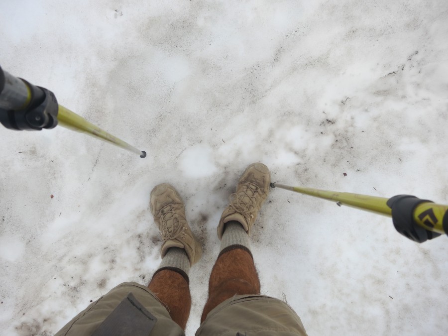
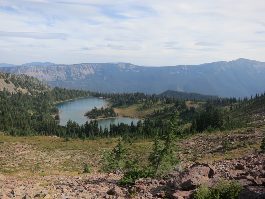
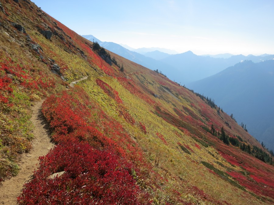
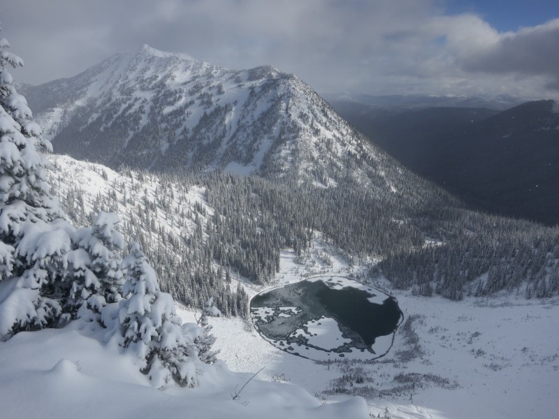
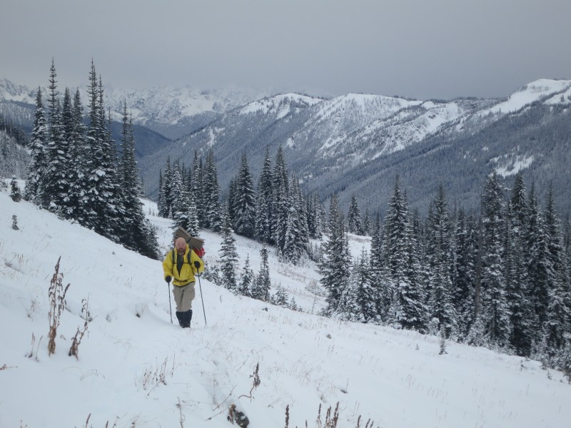
October 19th, I was hiking in the rain, when I passed Bouncer and Storytime midday who were waiting out the weather in their tents. After a few hours of hiking, rain turned to sleet, and eventually to snow. There was already some snow on the ground to begin with. I crossed Red Pass (6500 ft), and was soaked to the bone and freezing, so after descending to a small patch of trees at roughly 5500 ft, it started to get dark and I decided to set up camp.
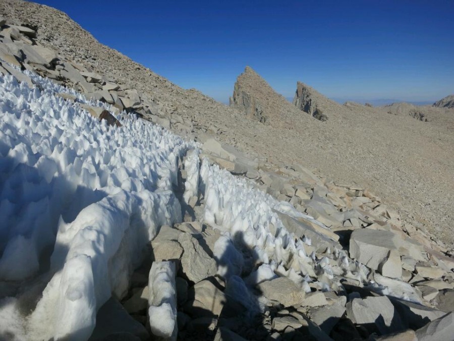
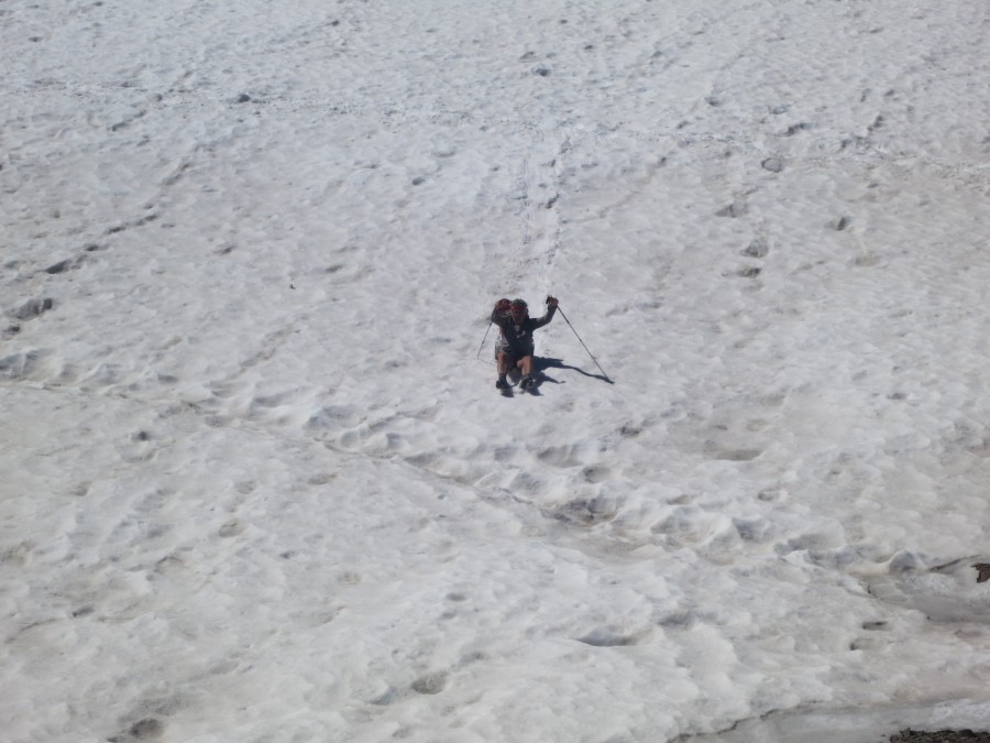
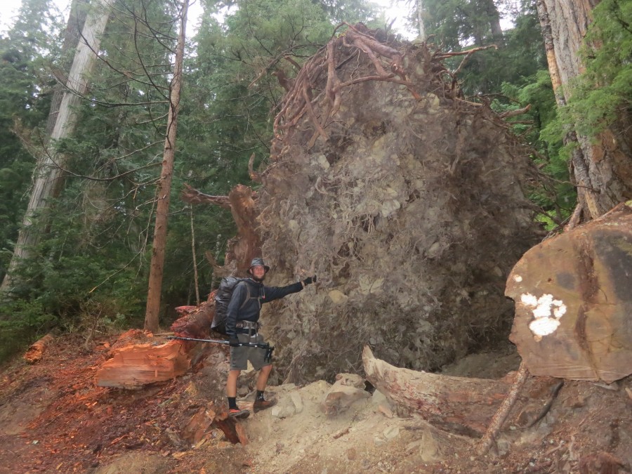
When I awoke in the morning, the snow was already knee to mid thigh deep, with some waist high drifts, and it was still coming down. I packed up and decided to make a move for lower elevation, soon losing the trail. I cut downhill to my left, the side of the ridge covered with nearly waist deep snow, aiming for a creek with the intention of following running water to lower elevation and hopefully eventually exiting the wilderness. After following the creek for maybe an hour or so, I came to another patch of trees and noticed a stump that had been saw-cut. I continued alongside the creek until I came to 3 small logs laying across the creek with saw-cut ends, and a noticeable indent (trail) in the snow on the other side. I crossed the logs, and followed the indent the best I could, eventually leading to a forested area, with the trail being much easier to follow.
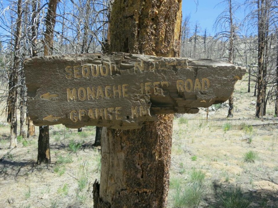
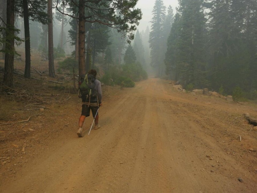
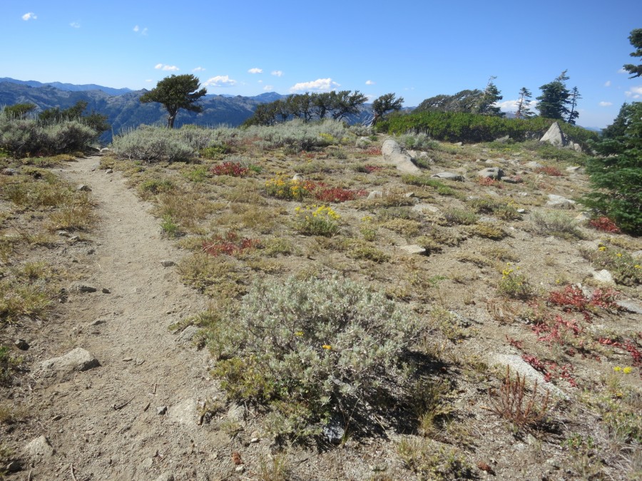
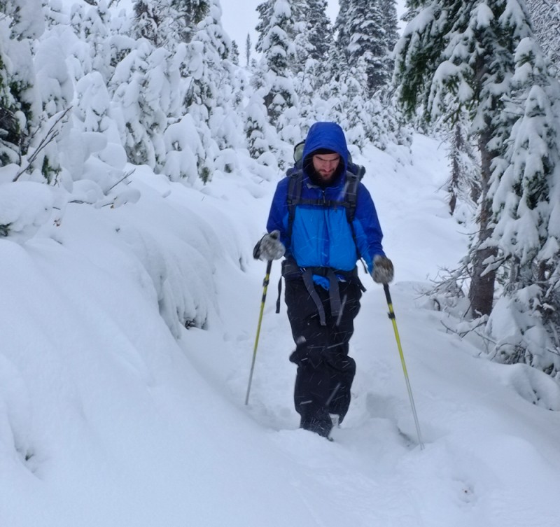
This led to a very nice man-made bridge, and the trail through the forested area had less than knee deep snow for the most part. I came to a side trail reading "Trail abandoned, use new side trail 0.25 mile north of Sitkum Creek on PCT". I continued to follow the trail until I reached that side trail, with a sign reading "White Chuck Road and trail washed out". F---. I continued north on the trail until I reached a sign reading "White Chuck Road, and Kennedy Hot Springs". Scratched into the sign were some notes from other hikers including "Both destroyed" and "Not an exit". F---!!
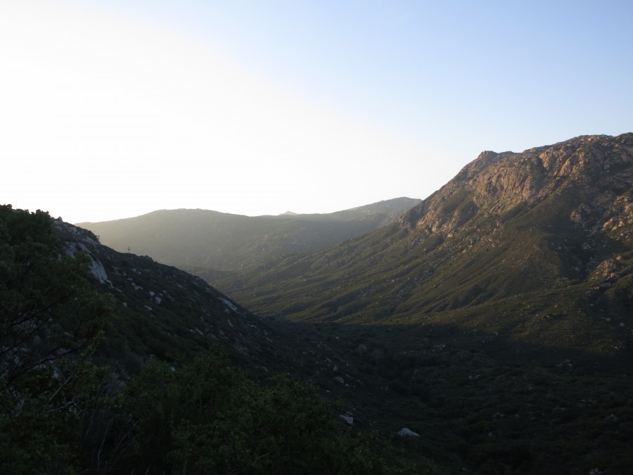
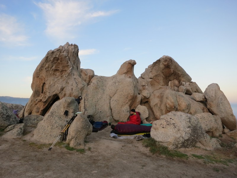
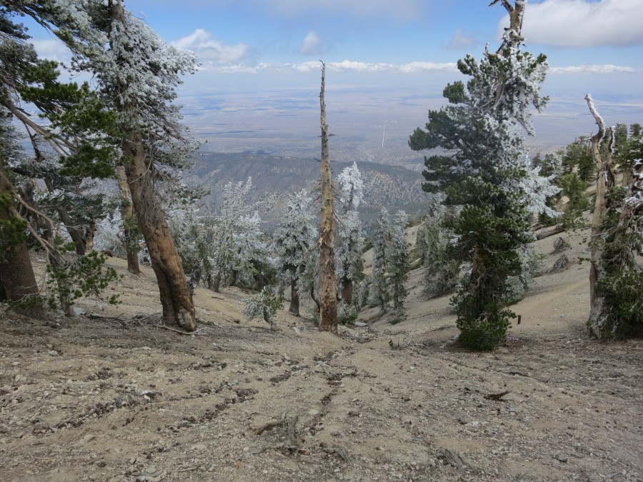
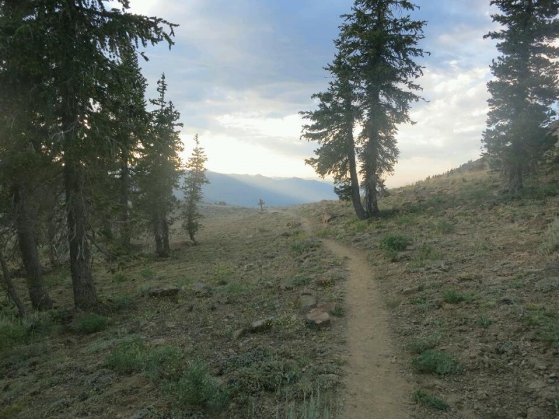
I continued on the trail hoping to cross Fire Creek Pass, and camp by Milk Creek, hoping that the Milk Creek Trail would offer an exit. By nightfall I lost the trail just north of where it crosses Glacier Creek (not realizing that it crossed the creek, continuing straight instead), and dug in next to a boulder, set up camp, and hoped to find the trail in the morning.
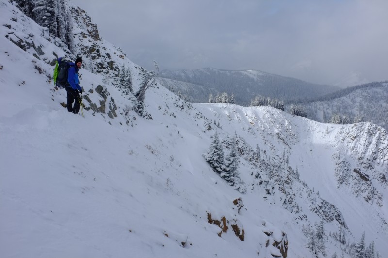
When I woke up a fresh 3-4 inches of snow had fallen. I continued to walk straight until I got on top of the ridge line. When I crested the ridge I saw no sign of the trail. The ridge dropped steeply down in front of me, to my left was a steep treacherous pass, complete with sheer cliffs and glaciers, and to my right the ridge gradually descended until there were trees on it. I couldn't cross the pass, I didn't want to slide down into the canyon to my front (which eventually ended up happening anyway), I didn't want to back-track, so I trucked down the ridge to my right hoping to find some sign of the trail once I got into the trees - cut off branches, bark, anything.
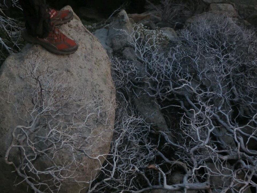
Eventually the ridge grew steeper and steeper until I started sliding out in 20ish foot sections, stopping myself on trees, until I reached a small or 6 foot cliff. I lowered down that holding onto small trees and branches. Eventually the path I chose became nearly vertical, offering me no other options than to continue forward. I reached a 15-20 foot cliff, the path behind too steep to back track, so I manoeuvred horizontally holding onto trees until I found a smaller section of cliff about 9 feet high. I dropped my back pack and trekking poles down first, then pissed on my hands to warm them up enough to gain enough grip strength to lower myself down holding onto exposed roots or rock.
When I got to my back pack, which had rolled about twenty feet in the snow I noticed that my camera had fallen out of my hip belt pocket. I dug all around in the snow, went downhill, back uphill, nothing. I had lost the only thing making me feel somewhat connected to the outside world/people. Lost my video diaries of this whole misadventure. Felt more alone. I continued forward until the ground got a lot flatter and stumbled through a patch of small trees all bent over under the weight of the snow from knee to chest height.
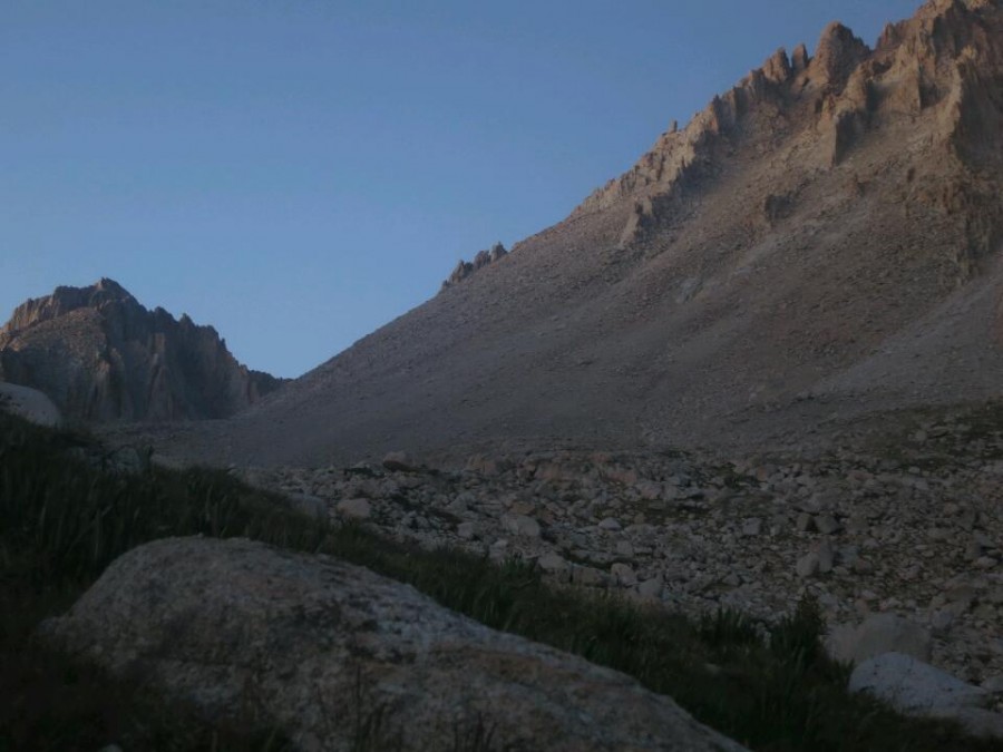
I reached one more small cliff and dropped down to the scree slopes of the canyon below and started following the creek at the bottom downstream until after about a quarter mile it dropped off steeply into a section of canyon with 20 foot vertical walls. I back tracked until I reached another waterfall. Each side of the canyon was too steep to ascend, so on the floor of the canyon between two branches of the creek, I stomped down and scooped out as much snow as I could on the flattest spot I could find and set up my tent.
You can read part three here.
Comments
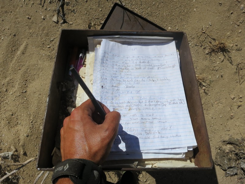
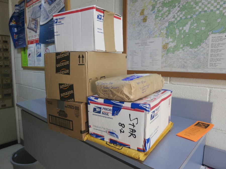
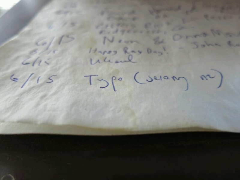
Trail Mail
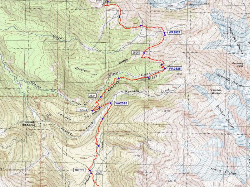
Map (View larger)
Recent Check-ins (View all)
October
21 I made it.
15 About to catch the last bus for the season out of Stehekin and planning to walk out of America in four days time on the last day of my visa...
09 It looks like some bad weather is finally on the way. My rain gear might actually get some use! Tough climbs ahead but getting closer to Canada each day and with great group of fellow stragglers.
September
22 Quick stop in Cascade Locks to shower, do laundry, resupply, eat and 'rest'. Across the Bridge of the Gods, over the mighty Columbia river, into Washington today - the first day of autumn.
13 Resupply for Washington all sorted with some help from Mum, who is visiting on her way home from Europe. Now it is time to escape Bend and resume the race to Canada.
Photos (View all)
Blog Archive
November30 True to the thru (Part 4 of 4)
30 The waiting game (Part 3 of 4)
30 Something was wrong (Part 2 of 4)
30 A story that needs to be told (Part 1 of 4)
21 "I knew Typo would make it" (Part 6 of 6)
19 Throwing the Hail Mary (Part 5 of 6)
10 Up and down, but not out (Part 4 of 6)
06 Crossing Cutthroat Pass (Part 3 of 6)
03 Warming up in Winthrop (Part 2 of 6)
October
30 We're sleeping in a toilet (Part 1 of 6)
25 Another radio interview (Audio)
21 I made it
04 Nearly there
September
29 Trail Magic
19 Walking with Mum
August
28 Cold food
28 Hello Oregon!
20 40 miles in one day
08 Official trail name: Typo
06 (Humbolt) Summit Fever
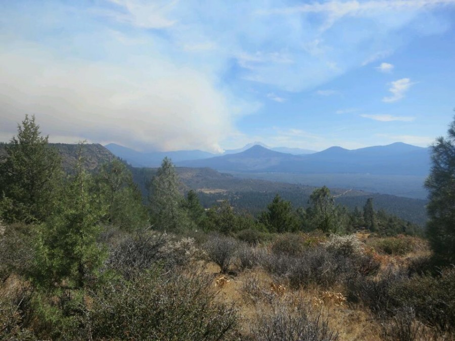
06 Road walking around a wildfire
July
30 Two trail birthdays
18 A picture is worth...
10 Pain and gain in the Sierra
June
28 Hiker hunger
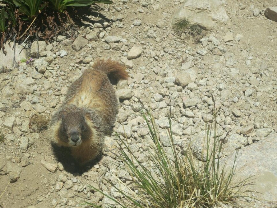
27 The inquisitive marmot
19 Stage one survived
05 Live from the Mojave (Updated)
04 I just walked 500 miles...
May
31 Current nemesis: Poodle dog bush
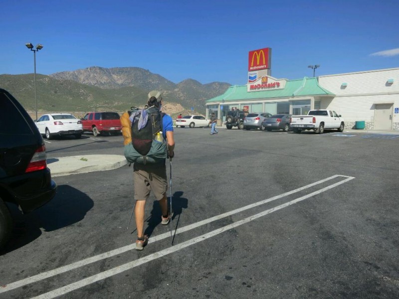
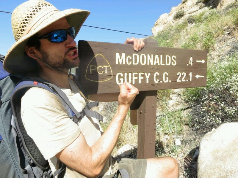
23 Mexico to McDonald's
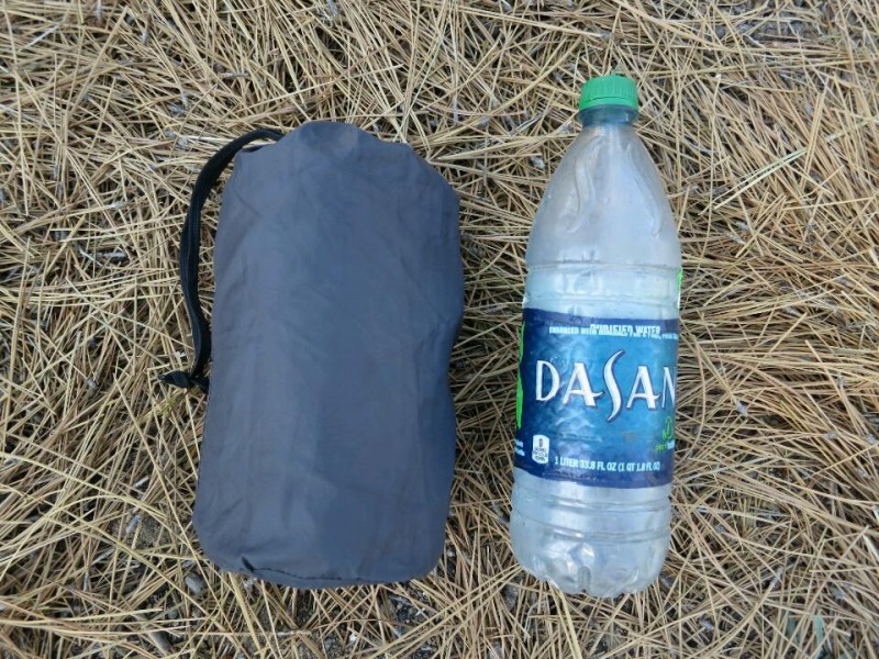
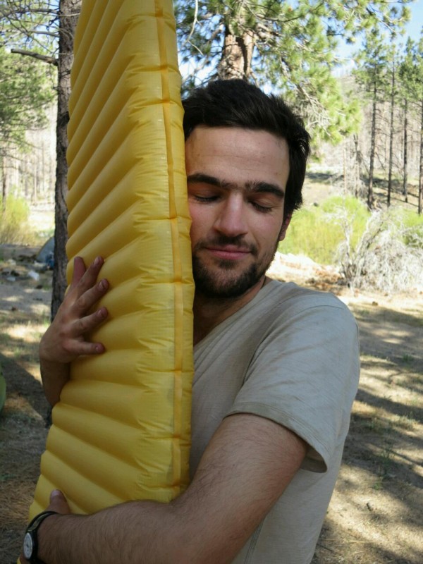
23 Gear review: Sleeping pad
18 Hot and getting even hotter
12 Videos
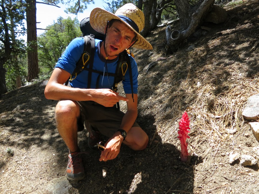
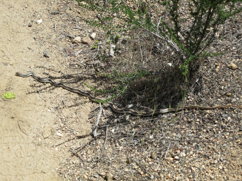
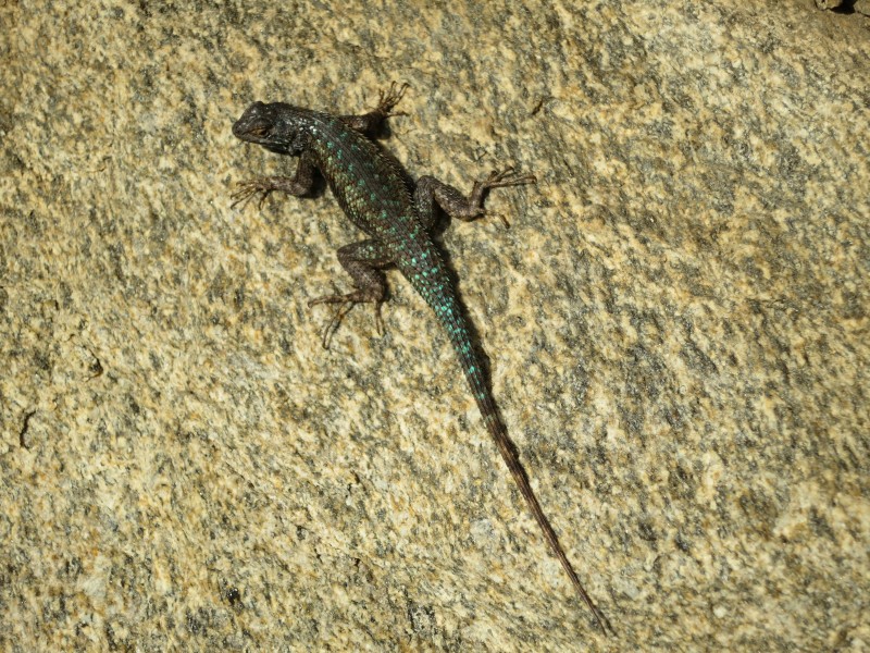
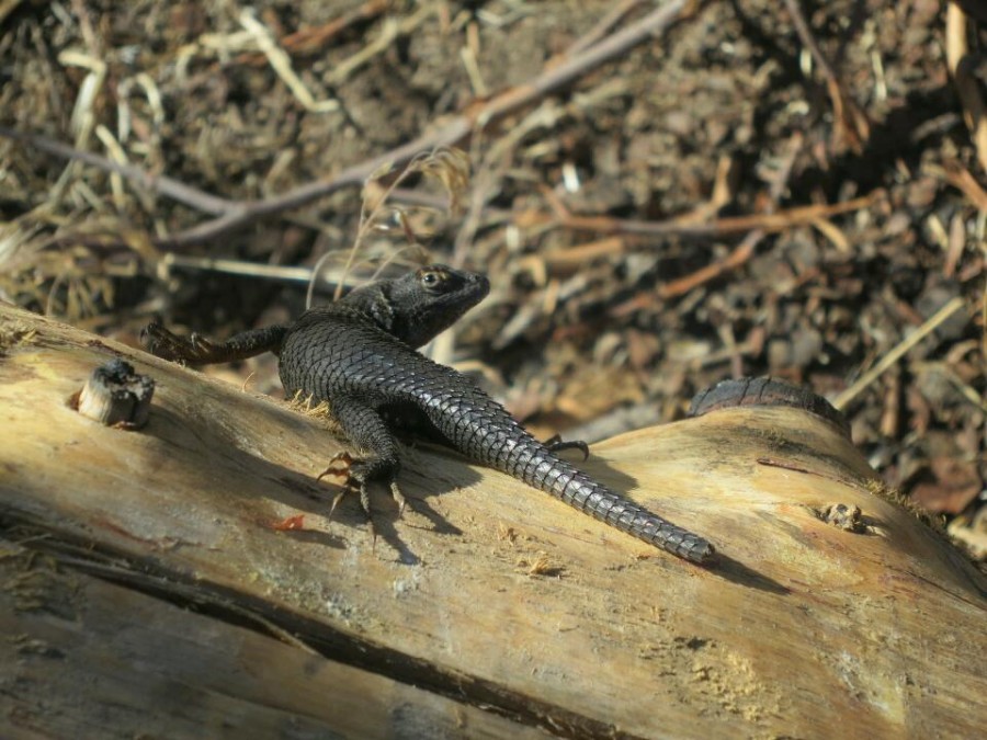
12 Wildlife
10 People on the trail: Sunset
05 Eagle Rock
03 Hiker discount: 100%
April
30 The beginning
25 Final preparation
17 Blogging along the way
16 No publicity is bad publicity
08 Walking before the walk
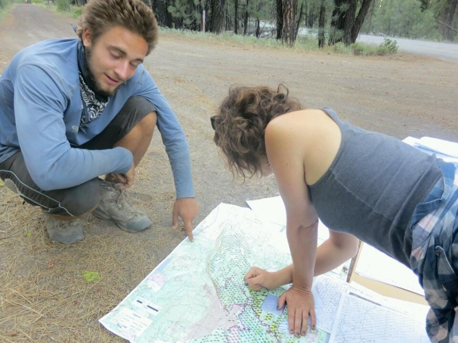
08 Maps for the trail

 Designed by
 Developed by
/
Developed by
/ Icons by
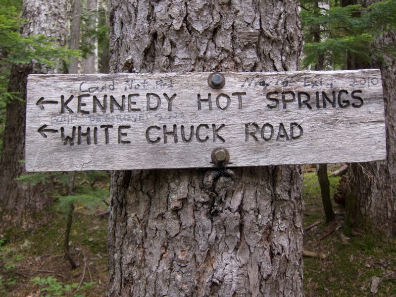