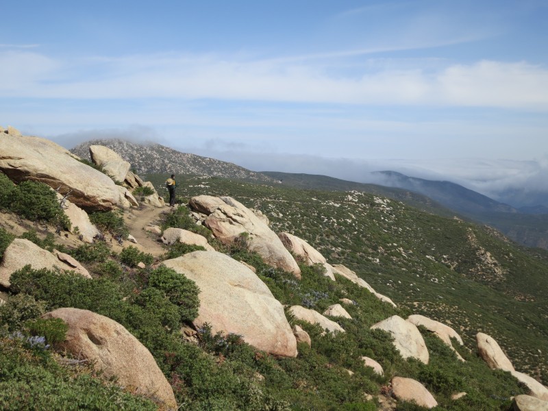
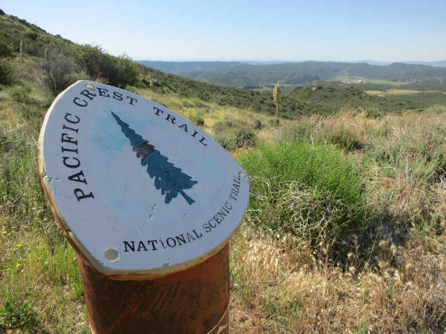
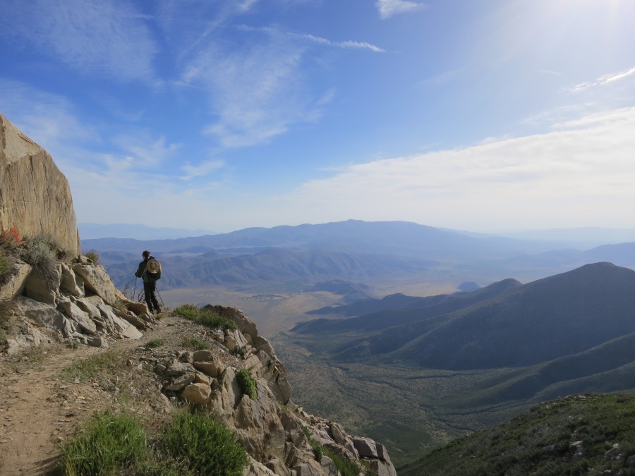
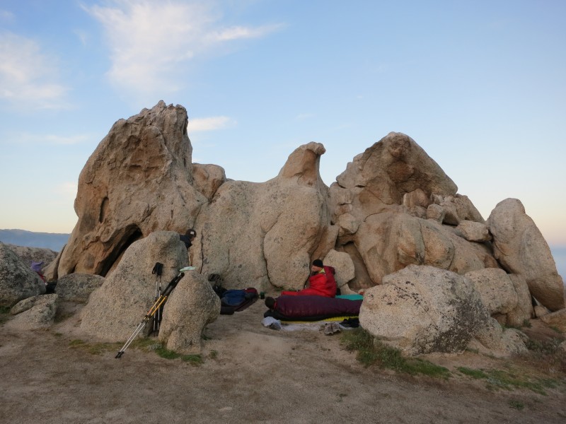
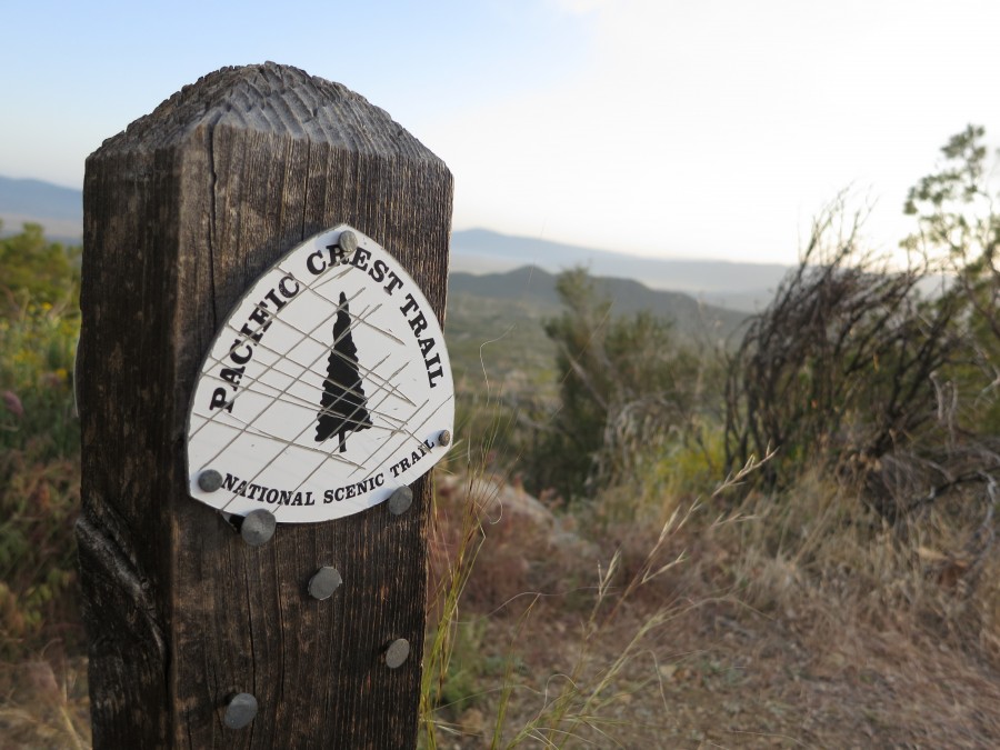
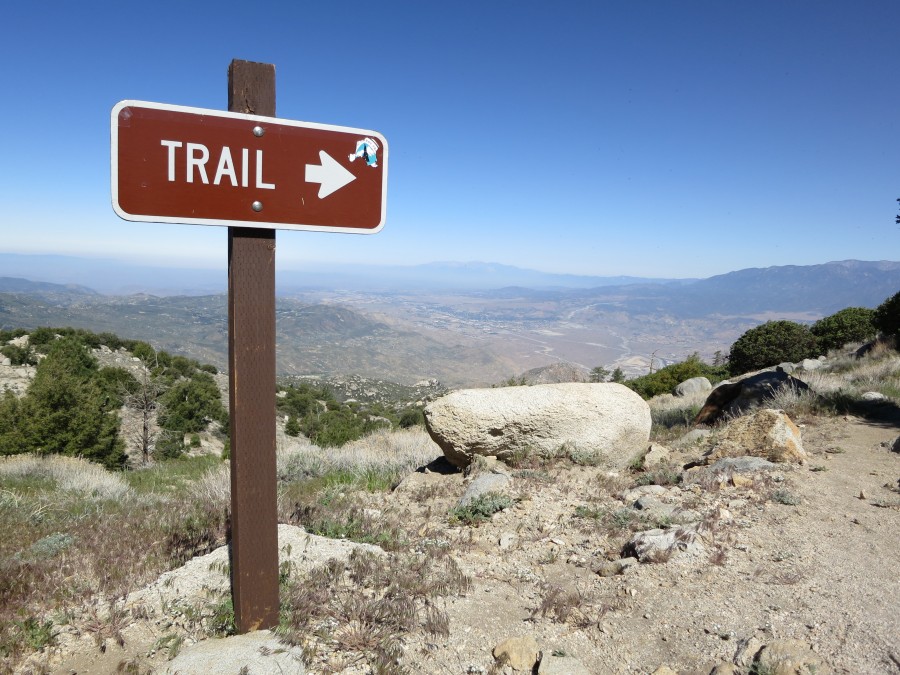
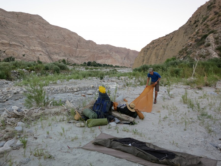
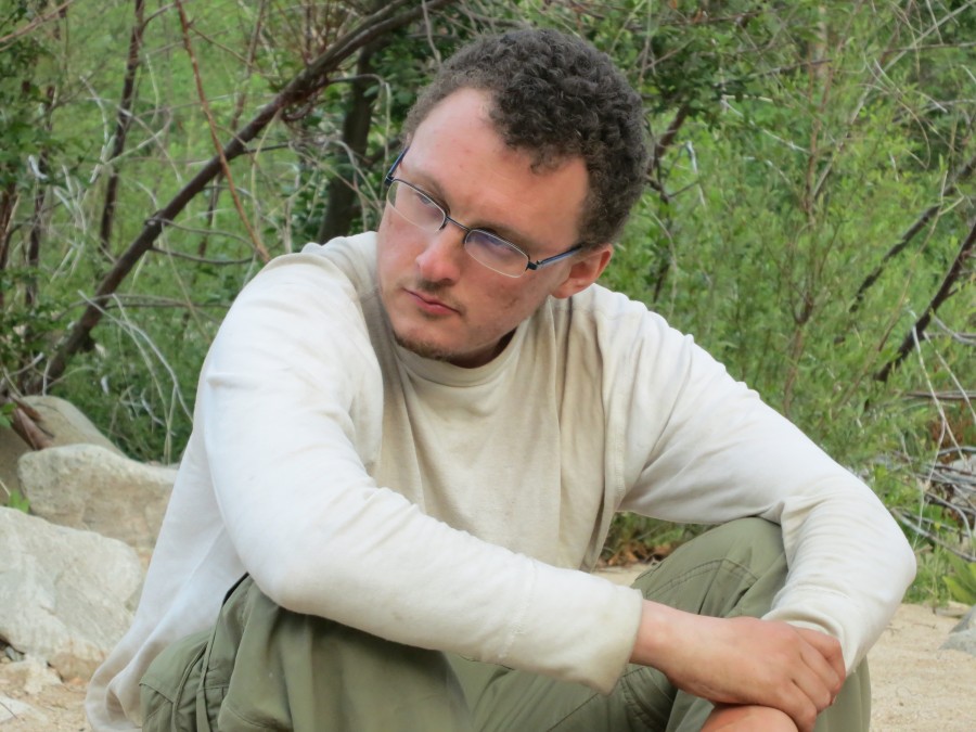
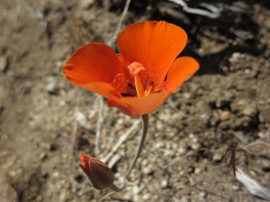
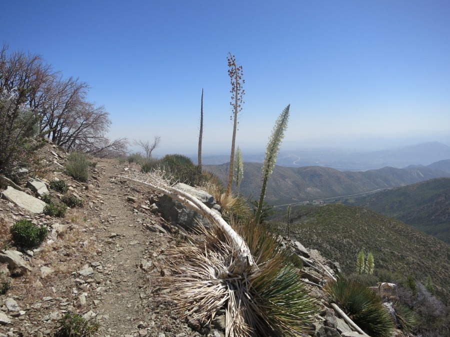
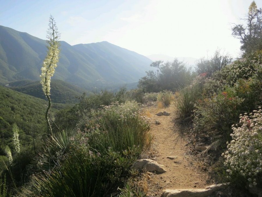
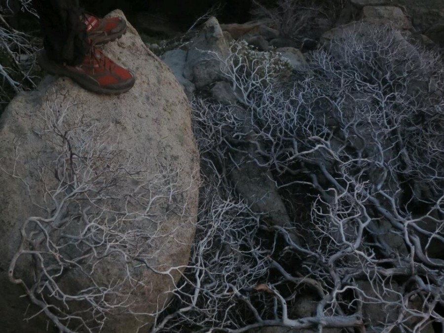
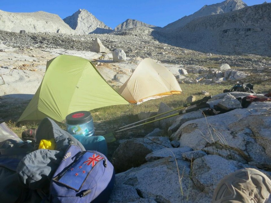
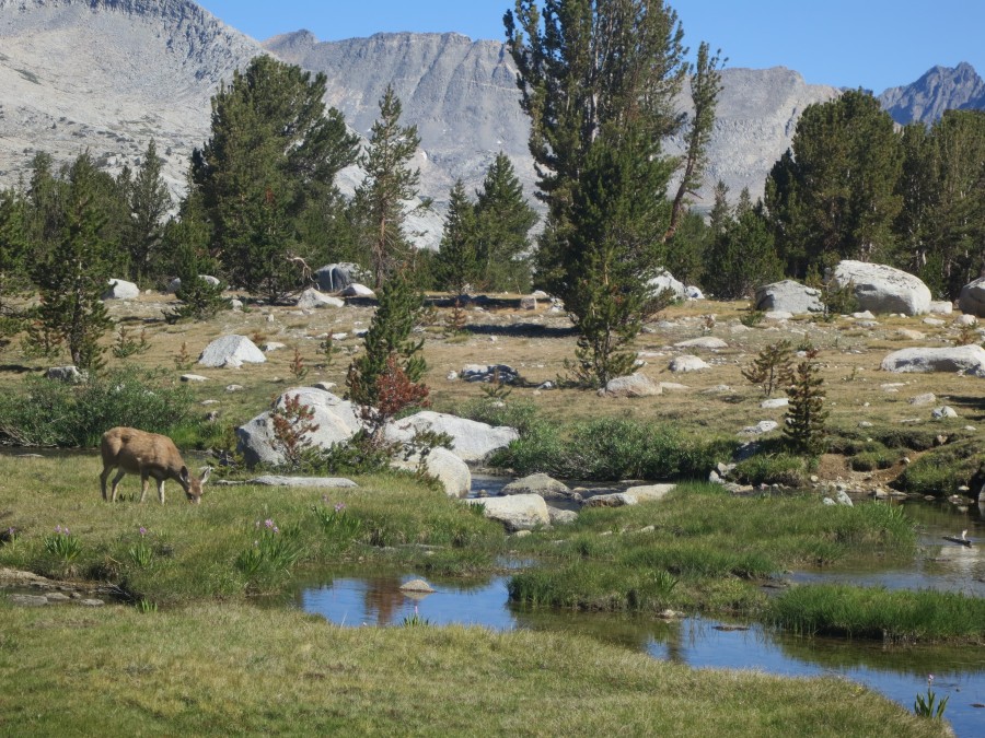
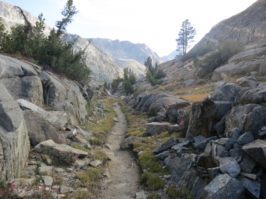
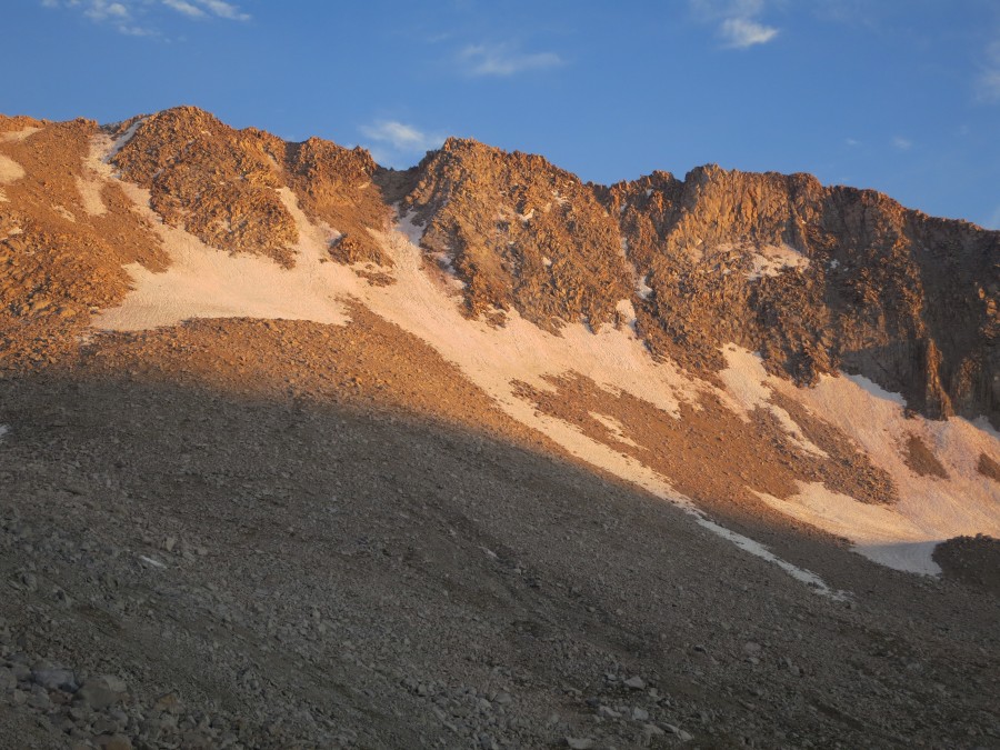
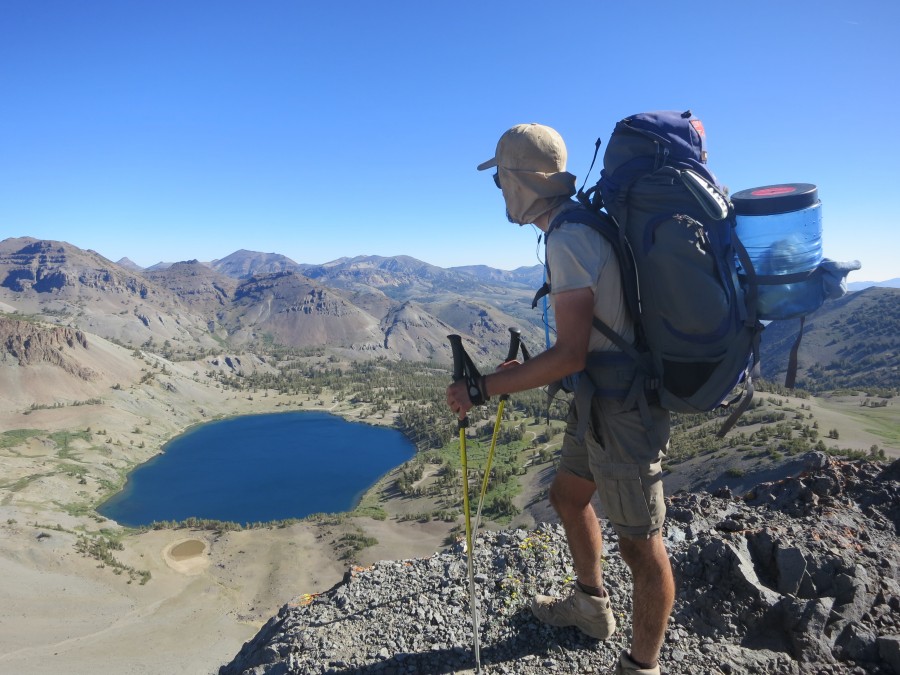
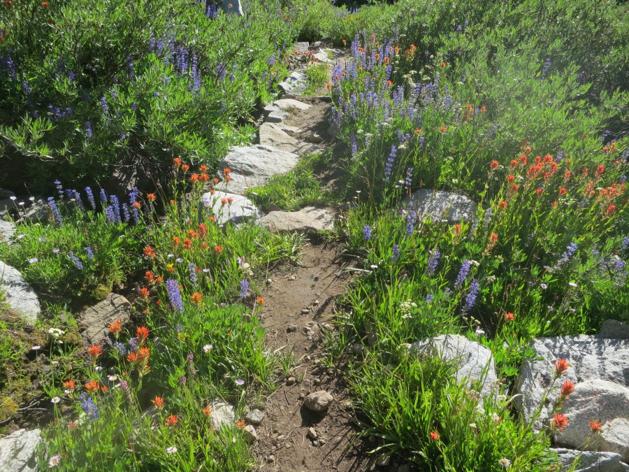
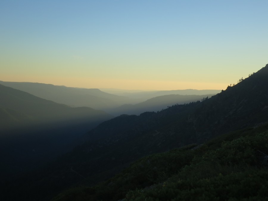
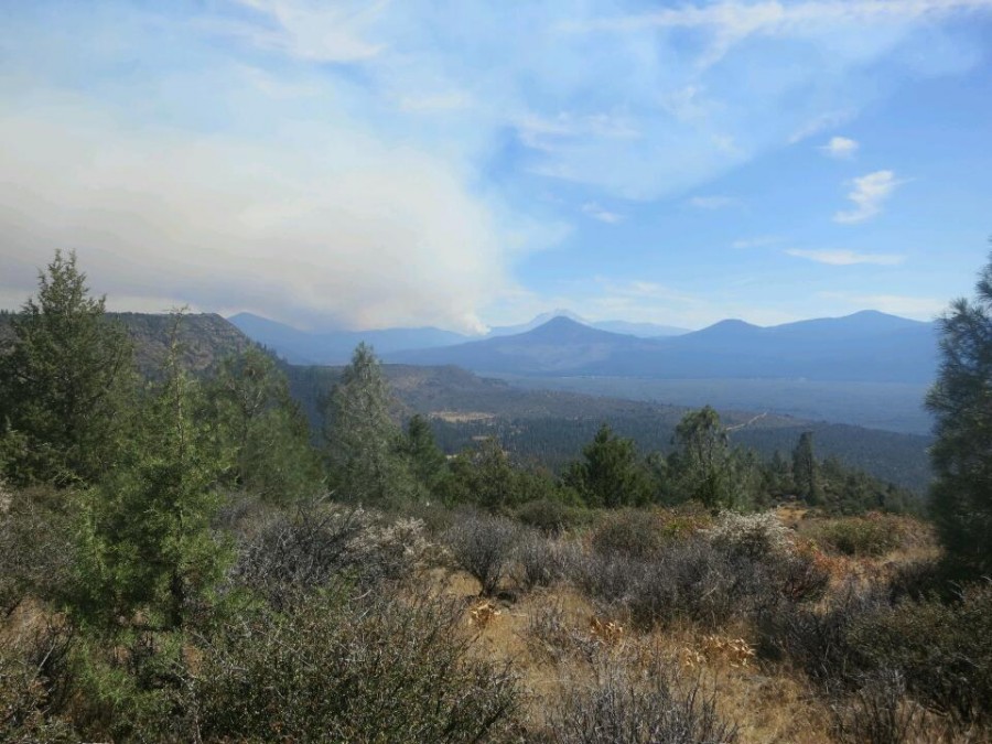
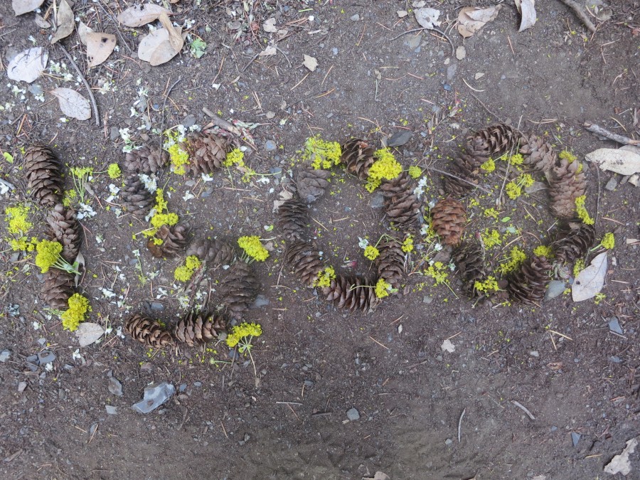
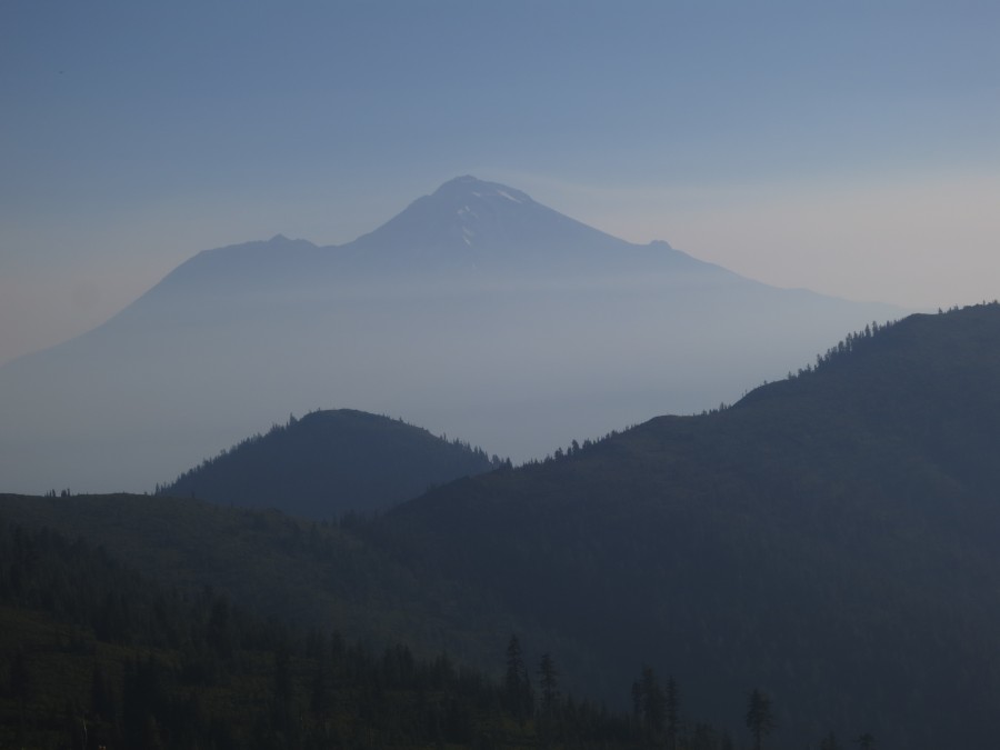
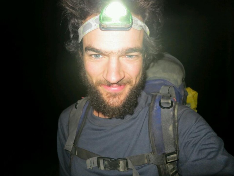
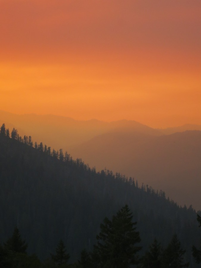
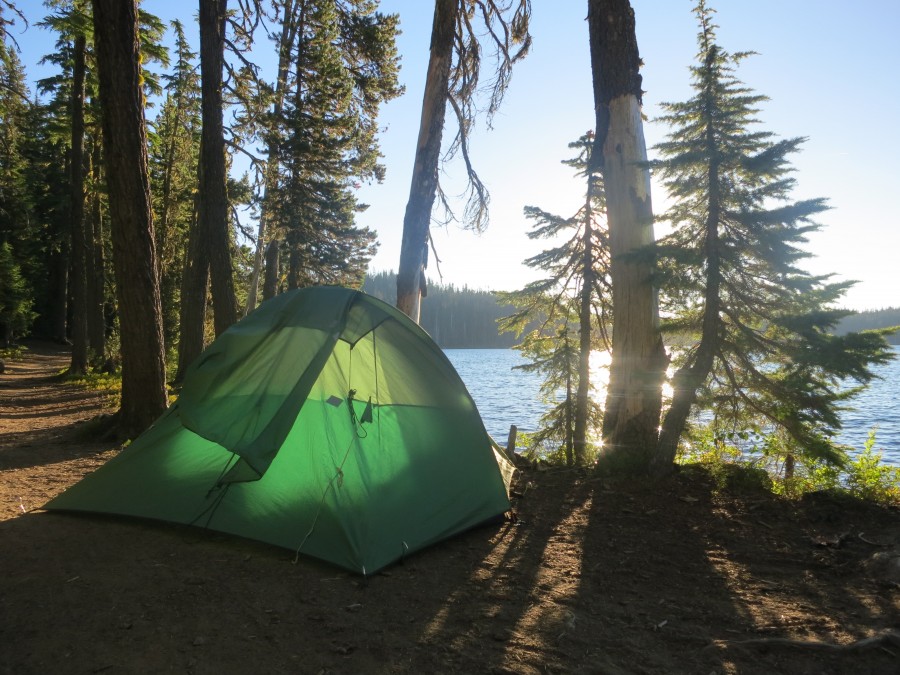
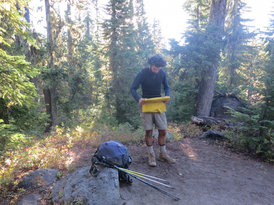
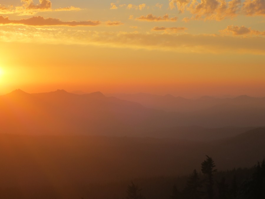
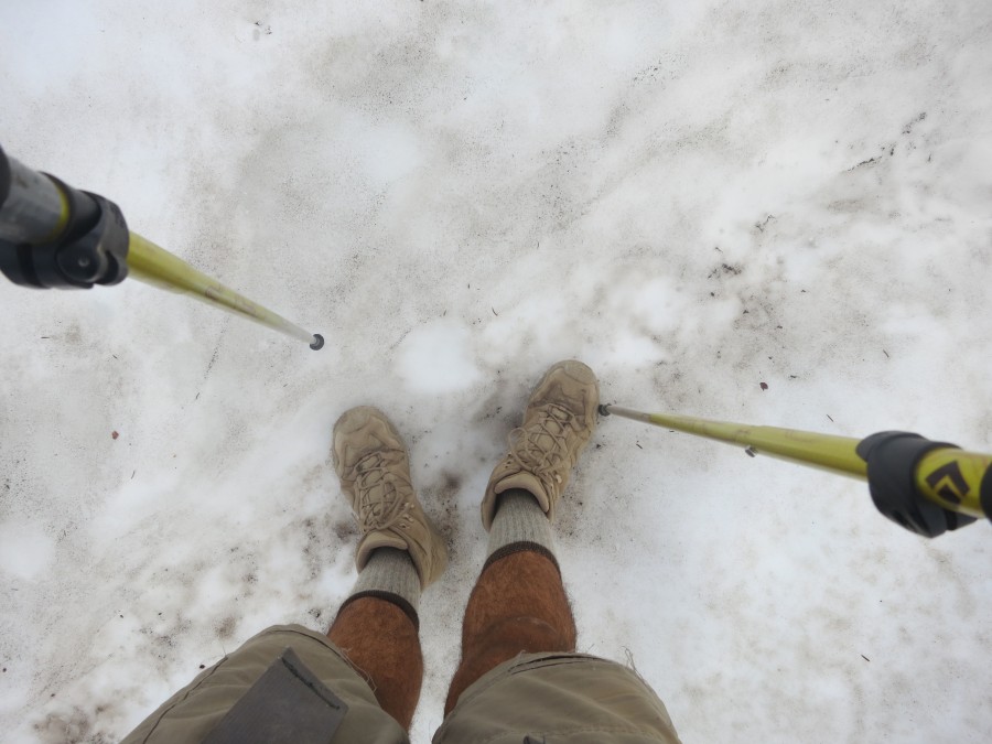
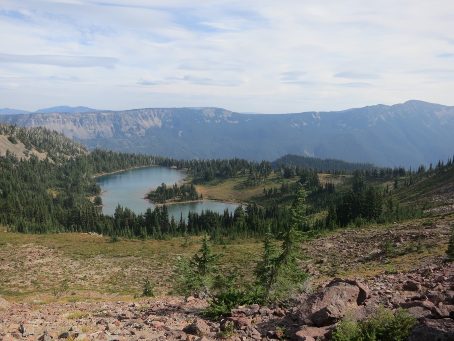
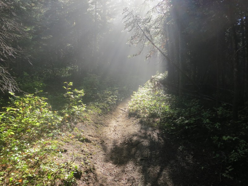
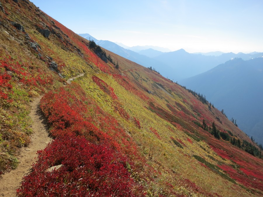
Road walking around a wildfire (Posted 6 August 2012, 02:20pm)
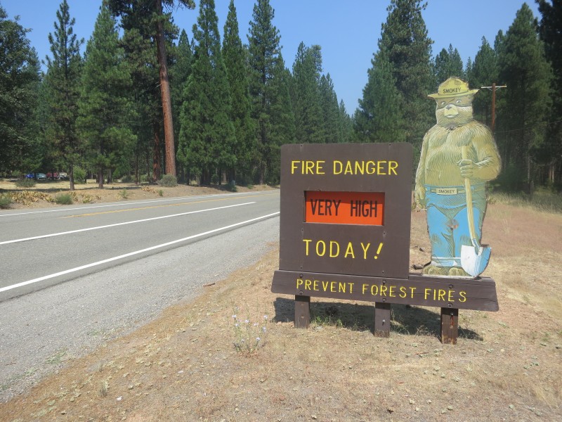
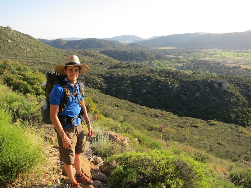
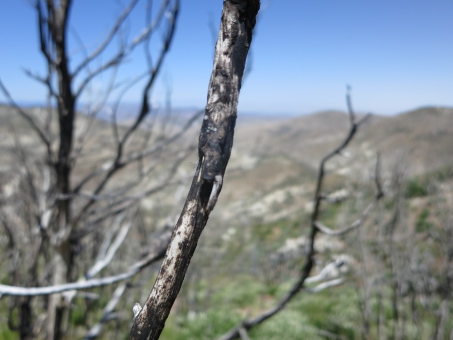
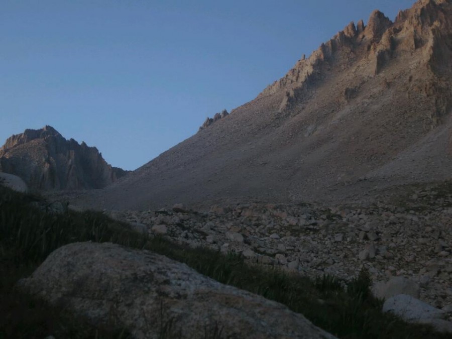
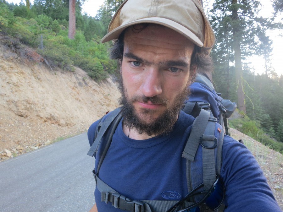
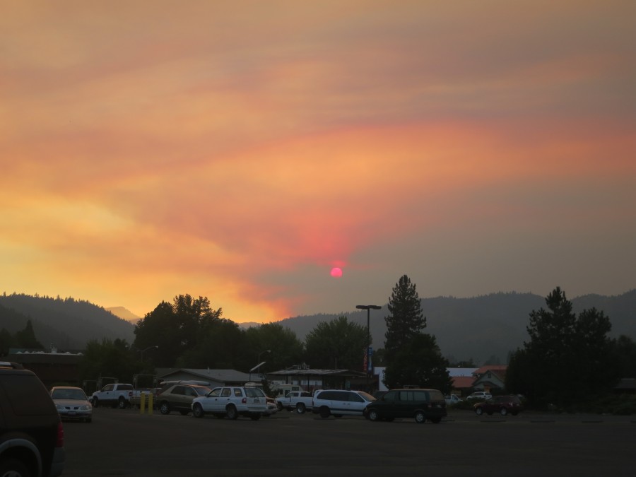
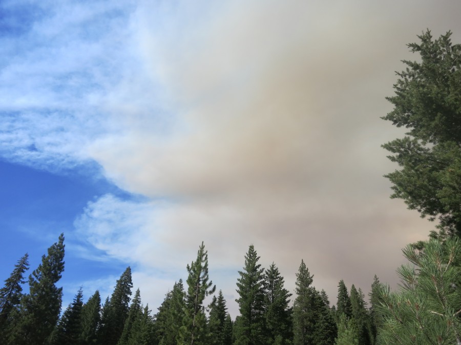
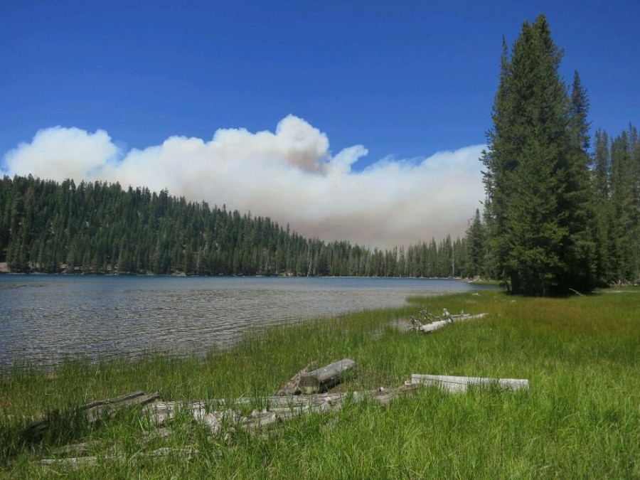
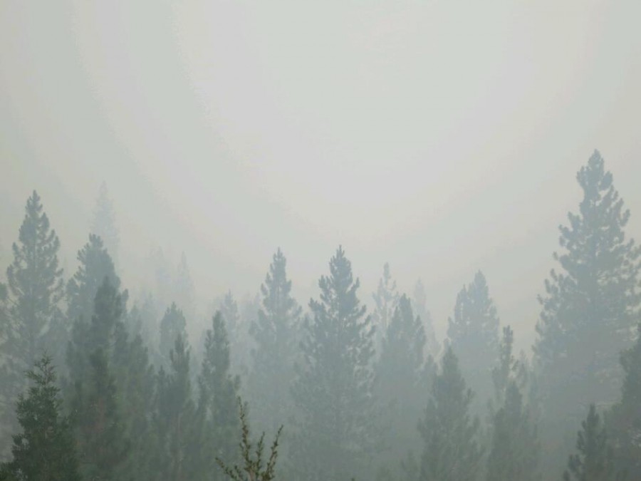
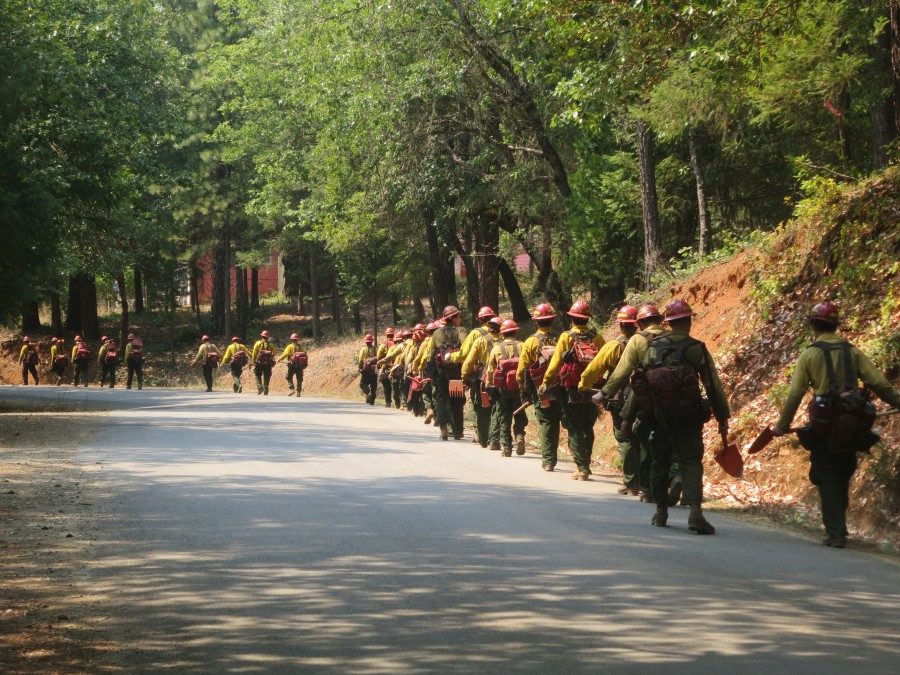
My last week has been dominated by the Chips wildfire. I first got word of the fire in Seirra City. I heard that it had closed a section of the trail up ahead but should be under control in a few days. I was still four days walk away from the affected town of Belden and it seemed it would be contained by the time I got there.
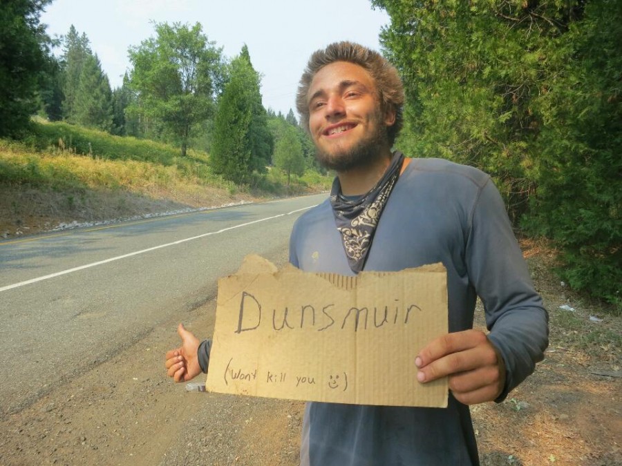
The next I heard was a couple of days later when I passed a southbounder at a road crossing who told me the fire had gotten out of control in high winds and that Belden was under threat, to be evacuated, and that the road out of Belden was closed. This created quite a dilemma. Spins and Baboon decided to hitch to Quincy and then on to Chester, north of the fire. This was probably the sensible option but I am determined to WALK from Mexico to Canada and I couldn't bear the thought of skipping a section. There was not much traffic but they eventually got a ride. I was suddenly on my own again.
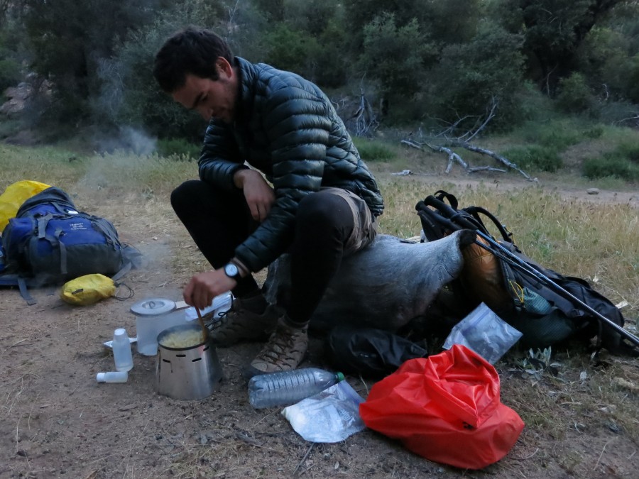
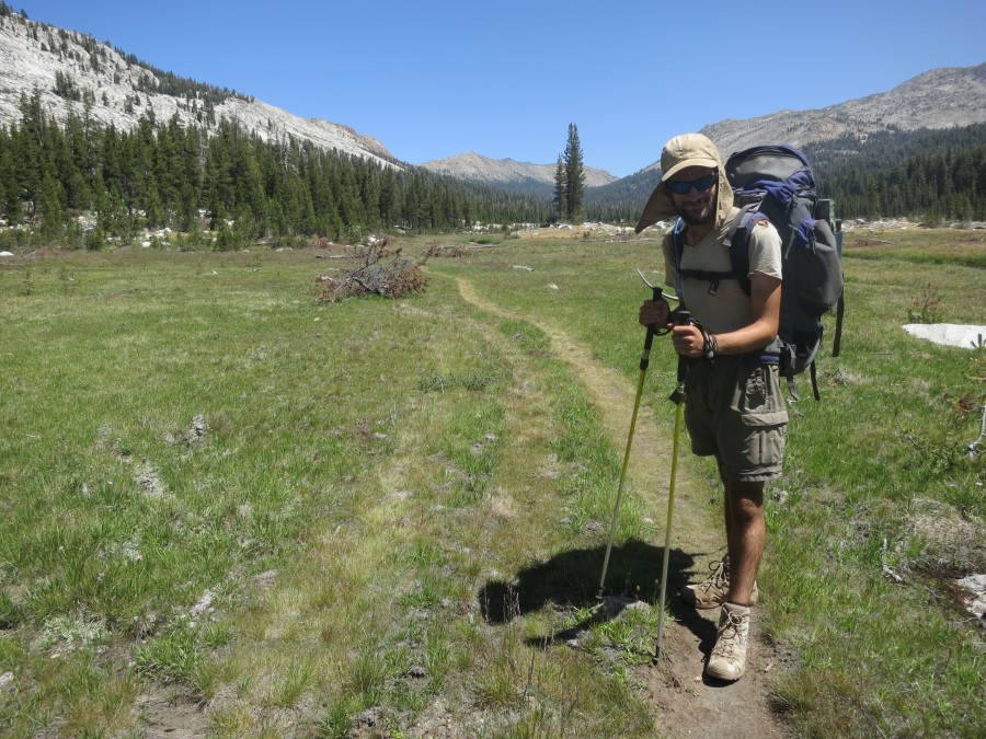
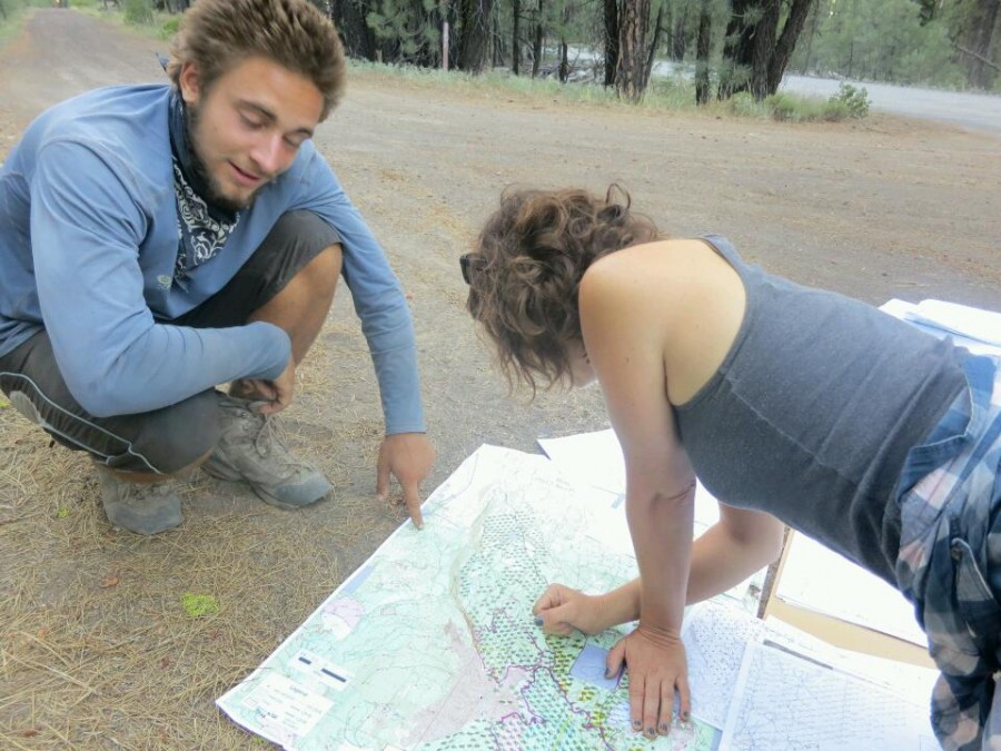
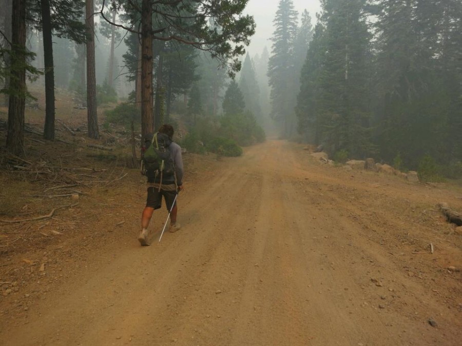
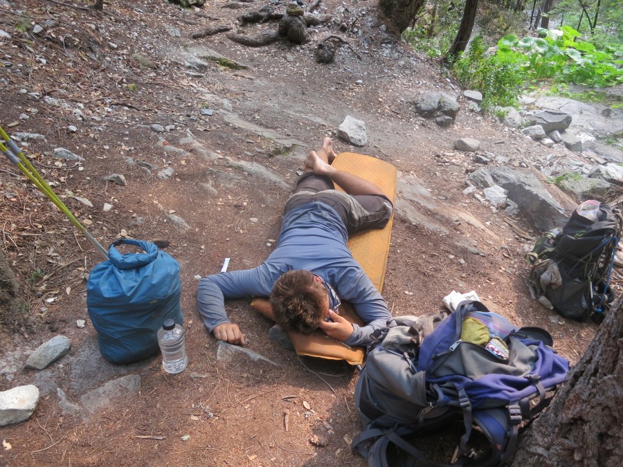
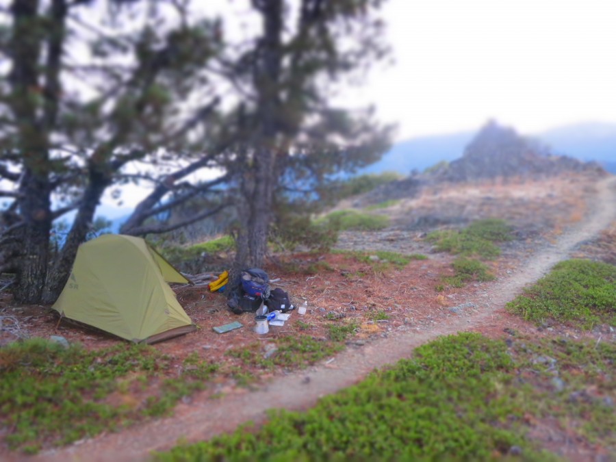
I had no map of the way to Quincy but luckily a woman passed with a good forest service map. I took some photos of the relevant section and lay down in the shade to wait for the heat of the day to pass before the punishing 26 mile road walk into Quincy.
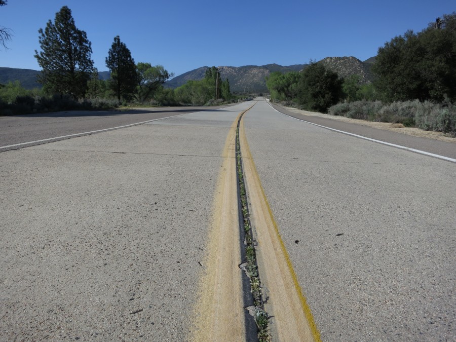
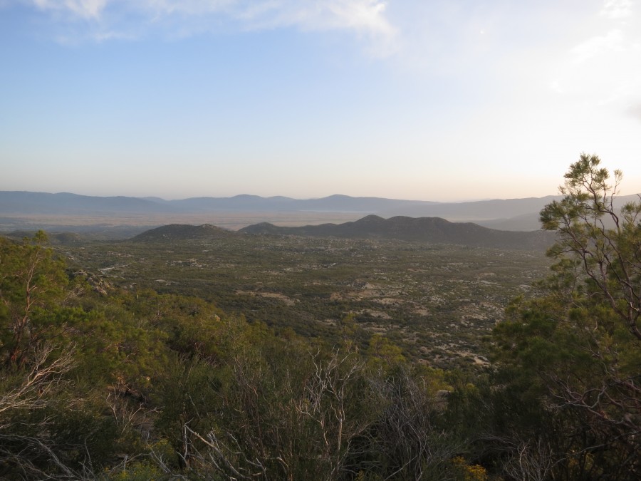
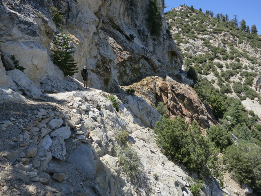
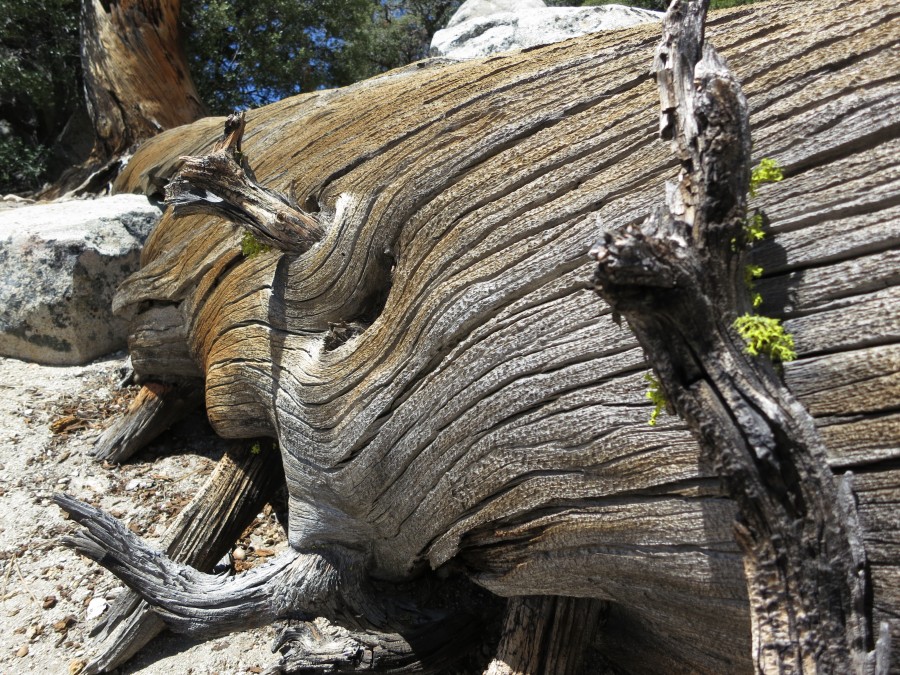
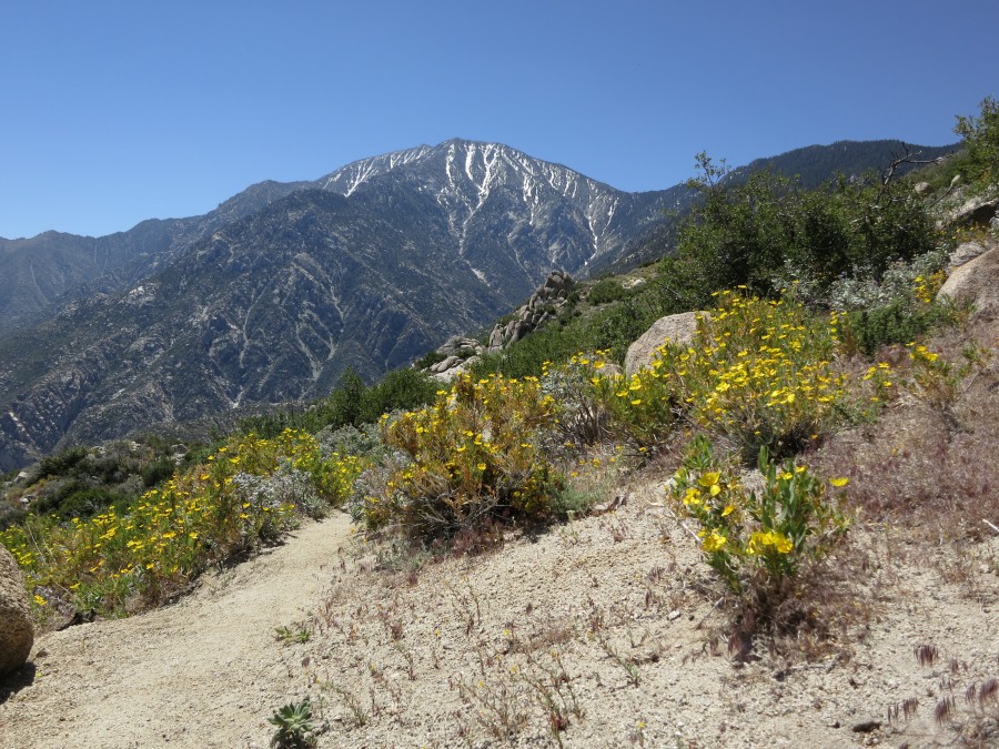
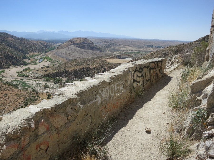
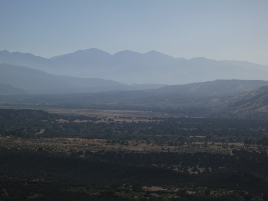
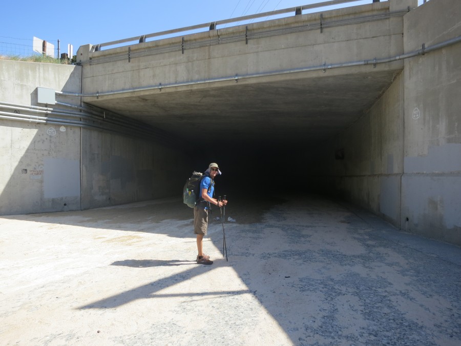
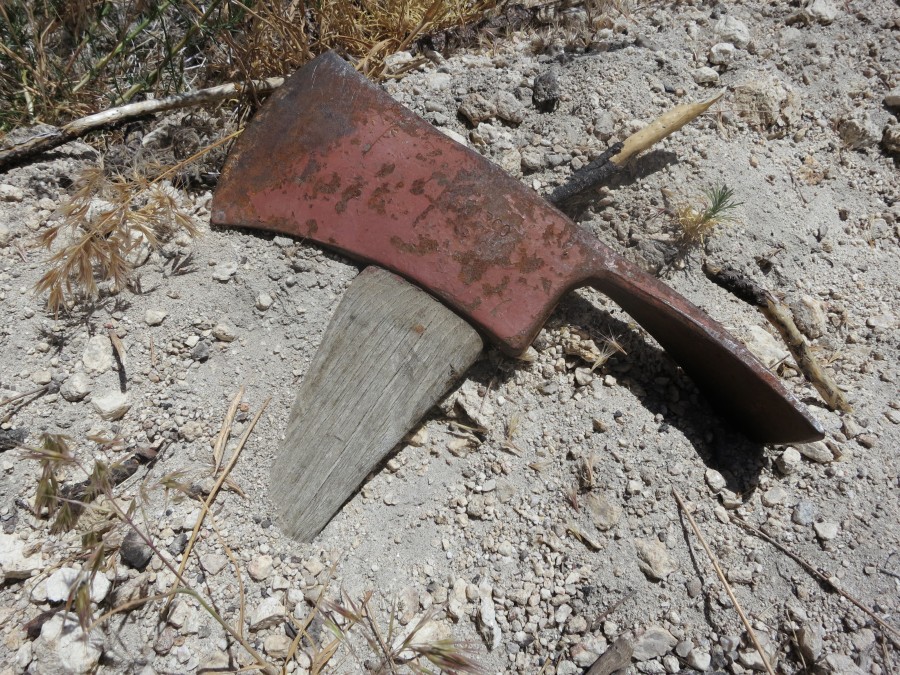
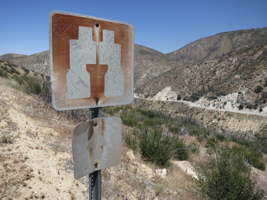
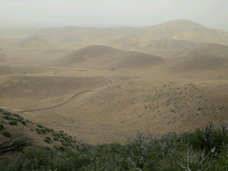
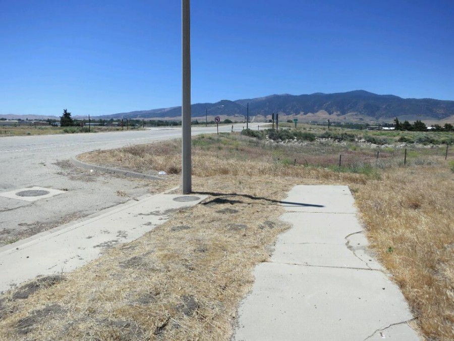
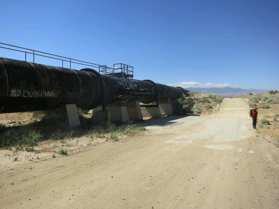
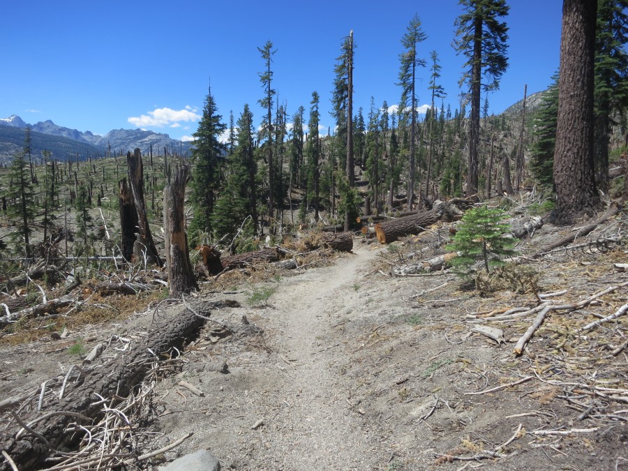
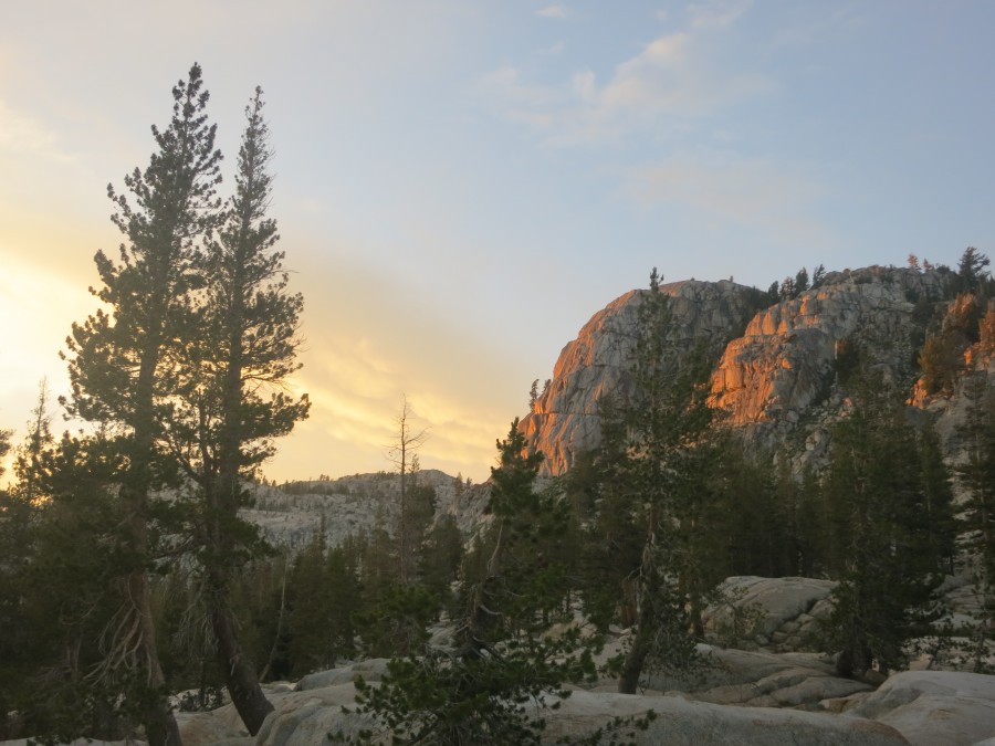
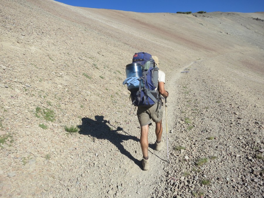
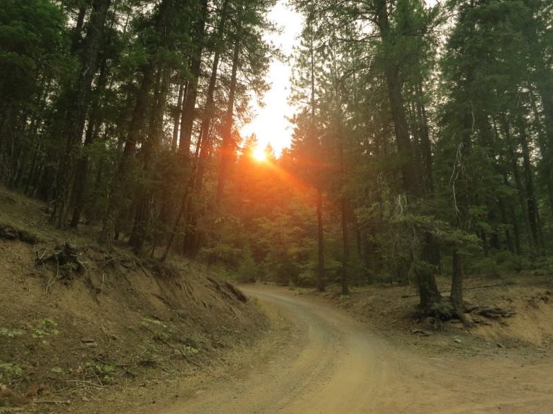
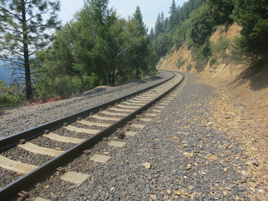
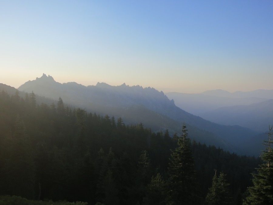
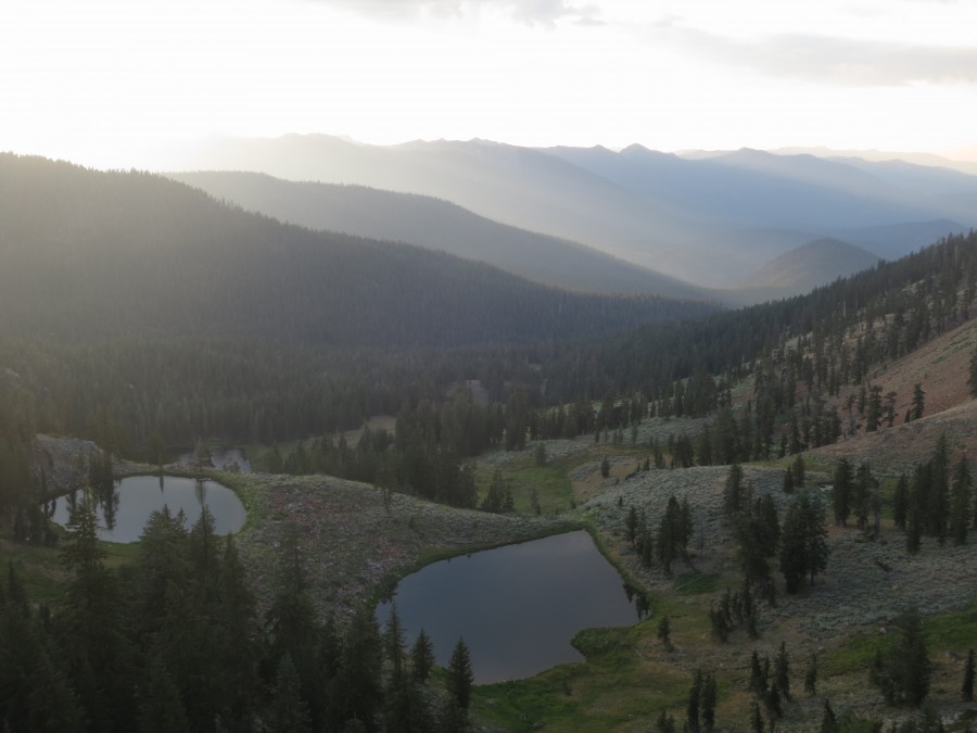
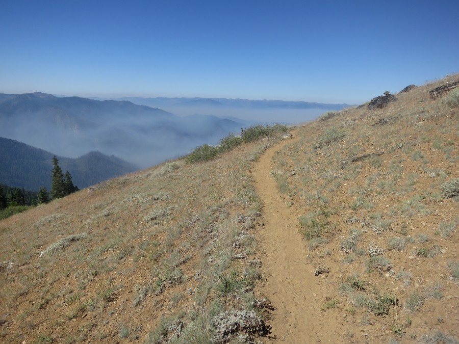
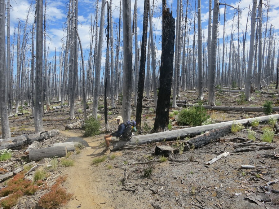
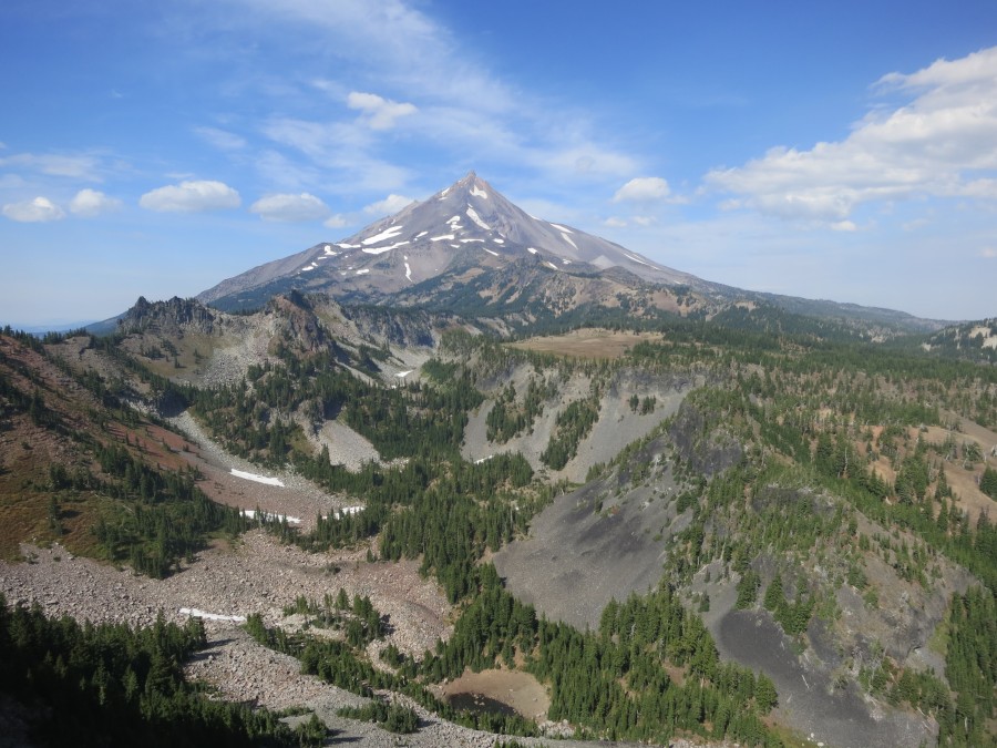
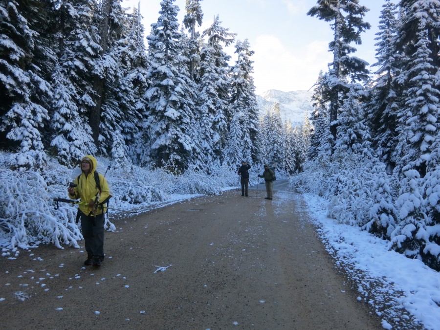
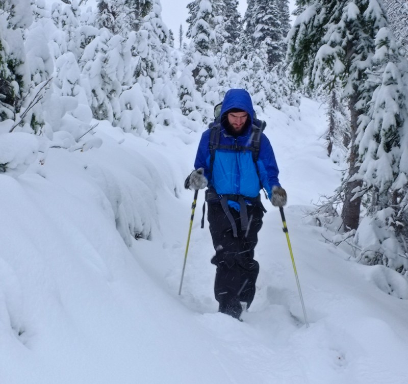
The past four days of road walking to Quincy and then beyond towards Chester have been a real journey within this journey. Parts have been along the busy and narrow highways 70 and 89. When this became too dangerous and exhausting I found a railway track to walk along and then an old quarry road. This led me over a derelict bridge bridge across Indian Creek. I found a group of locals there swimming and jumped in for a quick swim myself!
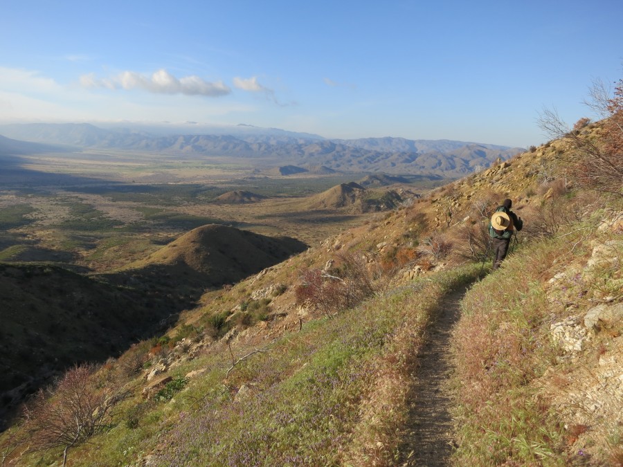
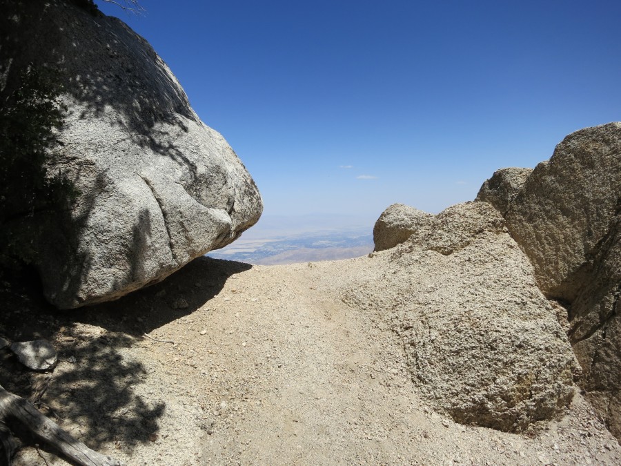
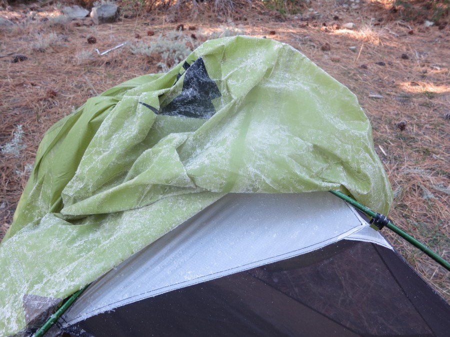
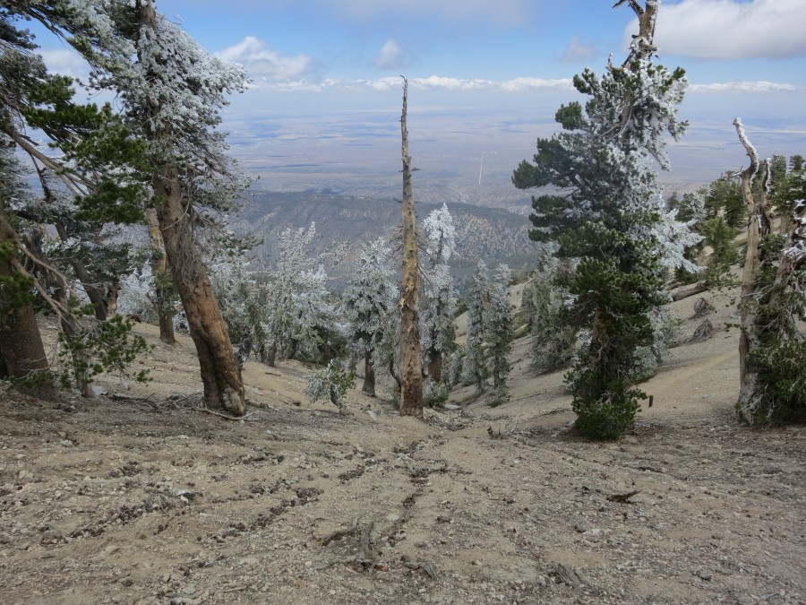
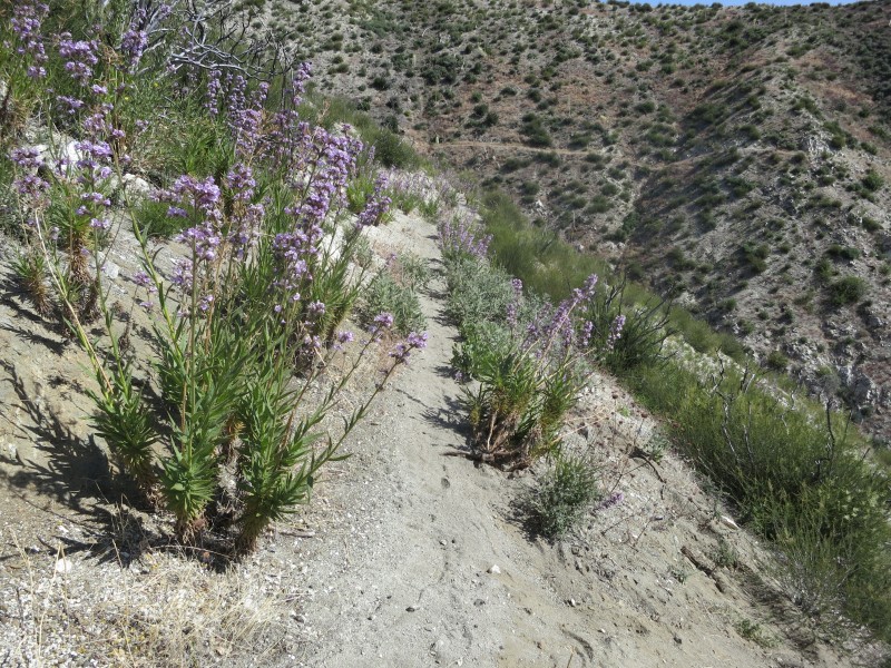
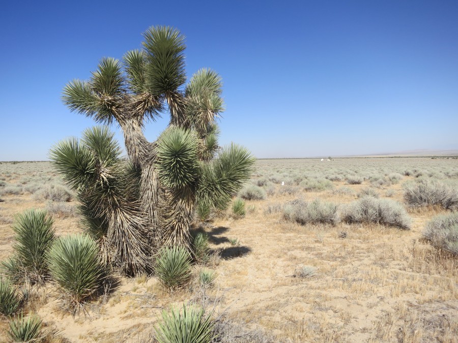
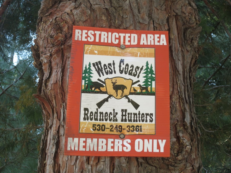
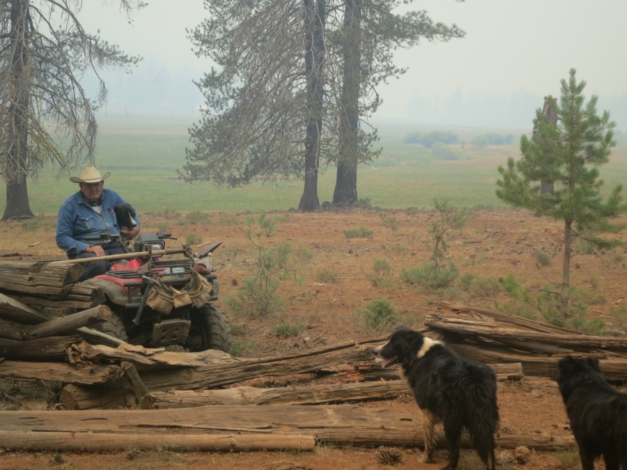
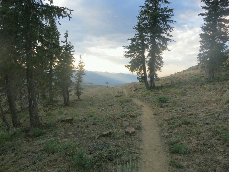
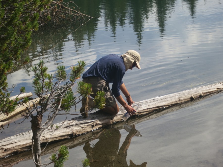
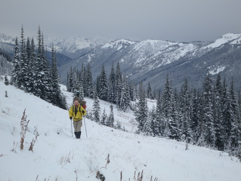
To avoid as much highway as possible I have been following old forest and gold mining roads. These have been almost totally traffic free but often straight up and down. All of this has been with full capacity of water because I have been unsure where I might find it next - even so I ran out twice but never dangerously. I changed course today when I heard nearby gun shots in the forest - probably my quickest miles of the trail so far!
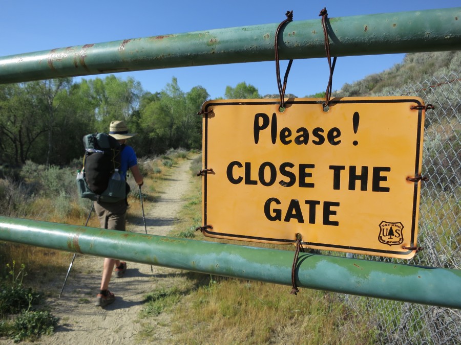
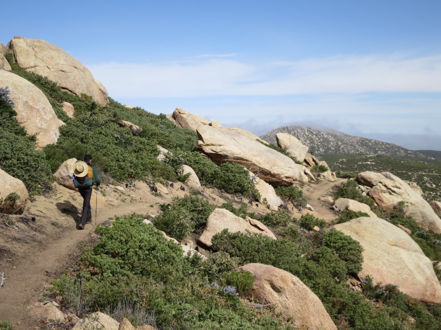
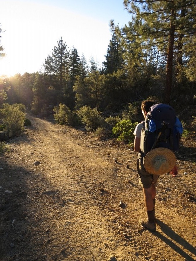
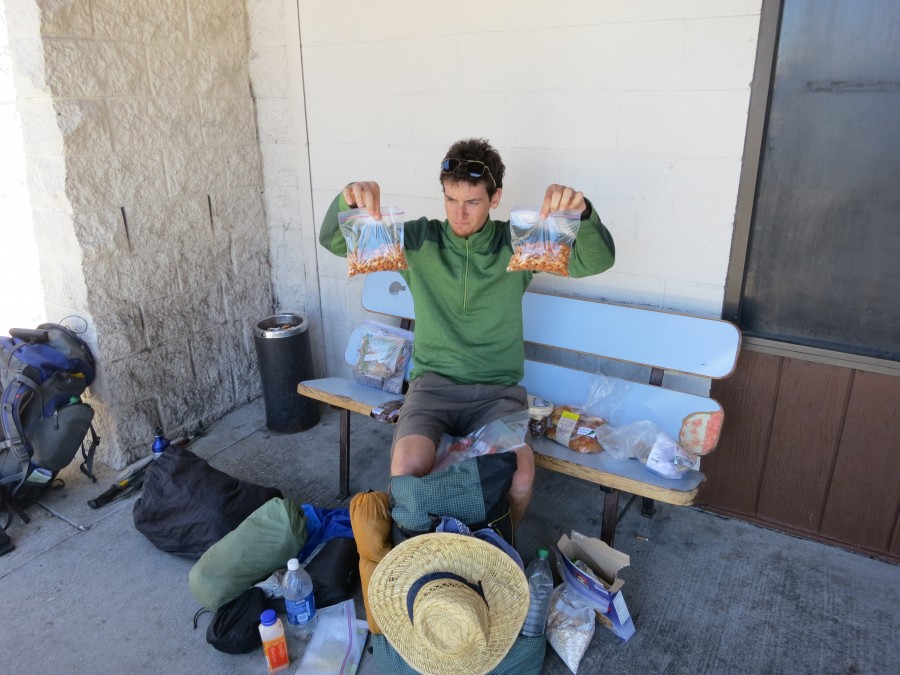
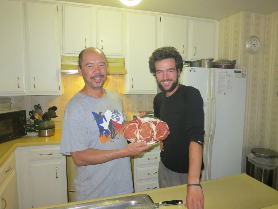
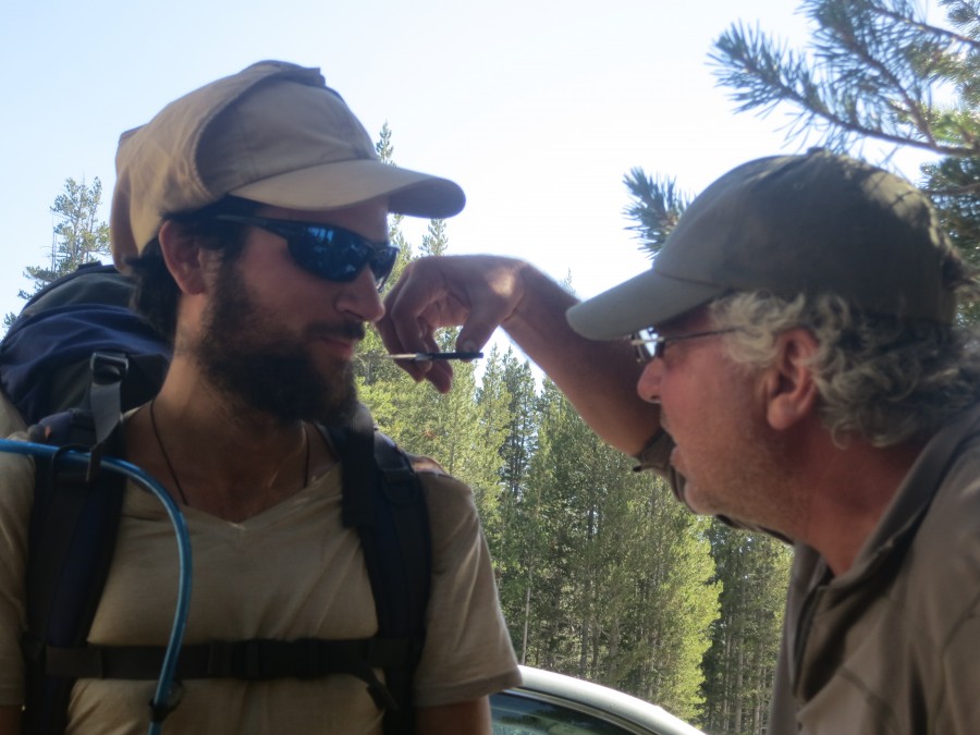
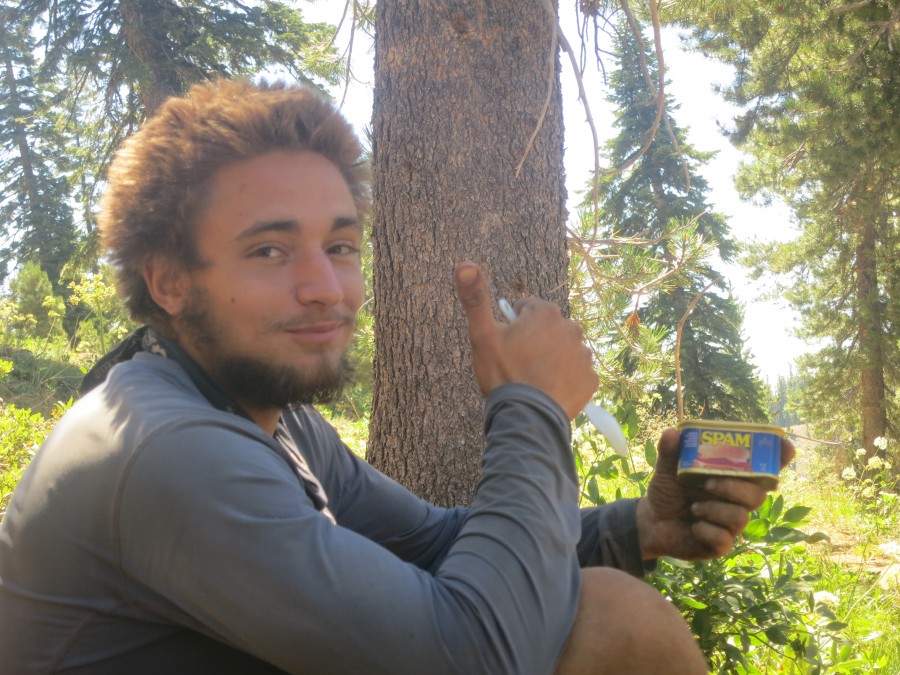
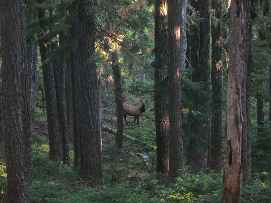
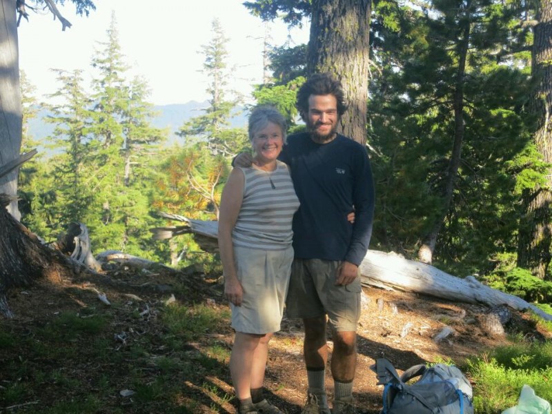
I have had a lot of friendly interactions with locals, pointing me in the right direction and telling me about smaller roads to avoid the bigger ones. I have even been offered a few rides without sticking my thumb out. I am however very much looking forward to getting back to the trail which has become like a dear old friend in the three months I have known it.
Comments
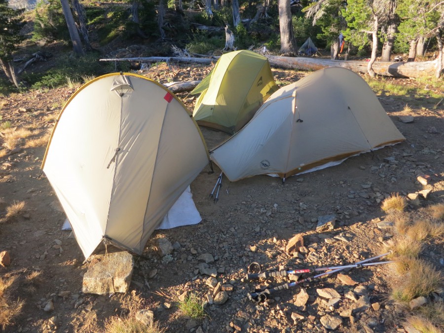
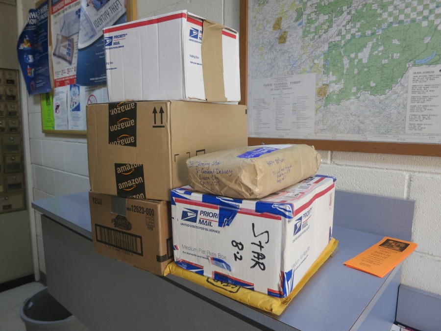
Trail Mail
Map (View larger)
Recent Check-ins (View all)
October
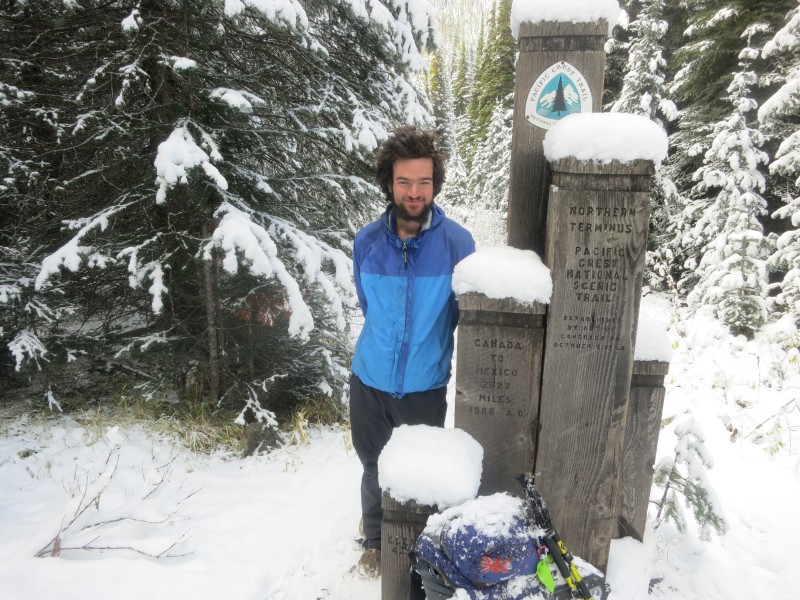
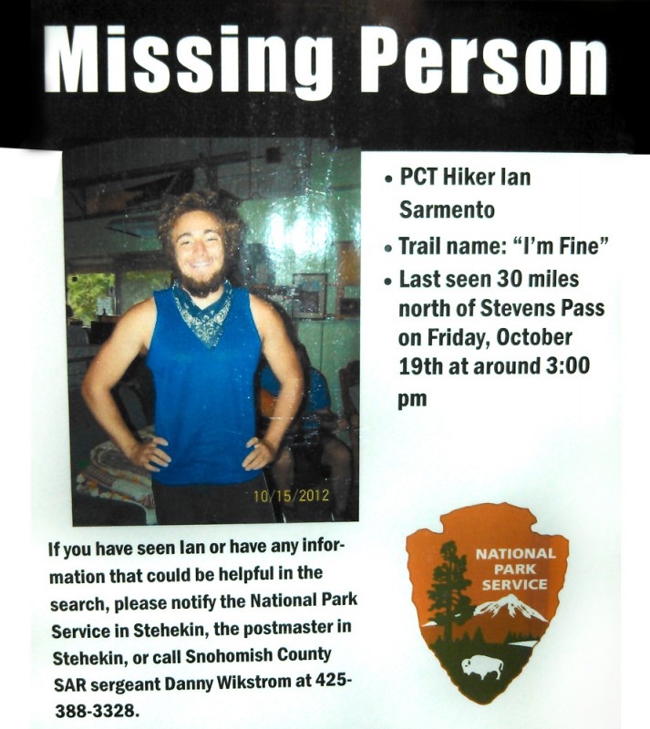
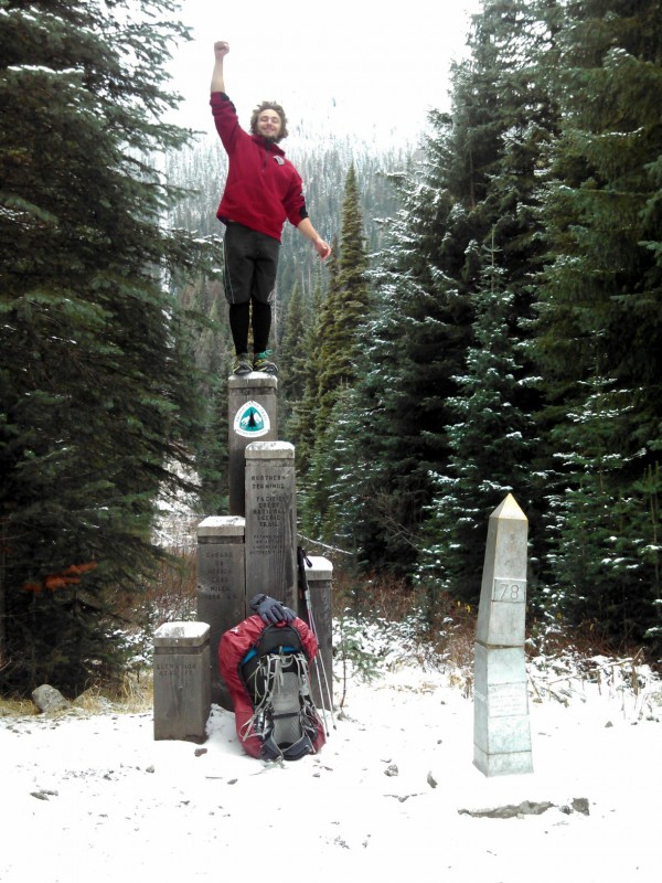
21 I made it.
15 About to catch the last bus for the season out of Stehekin and planning to walk out of America in four days time on the last day of my visa...
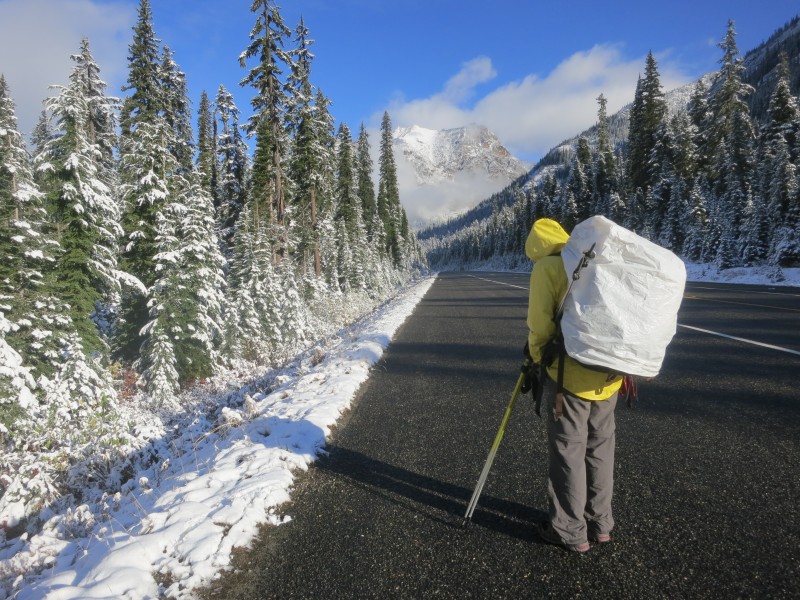
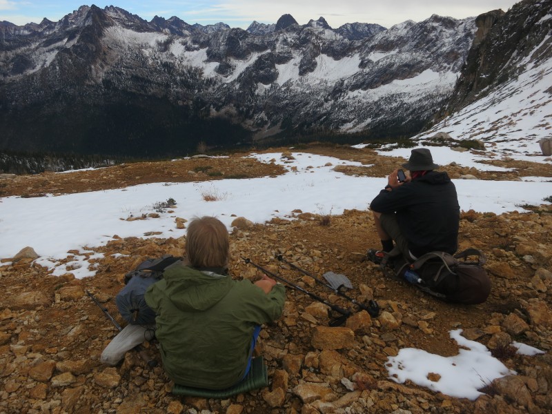
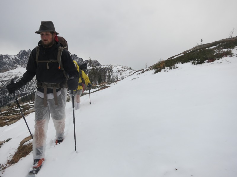
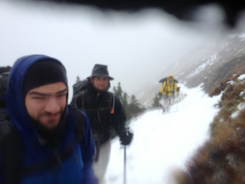
09 It looks like some bad weather is finally on the way. My rain gear might actually get some use! Tough climbs ahead but getting closer to Canada each day and with great group of fellow stragglers.
September
22 Quick stop in Cascade Locks to shower, do laundry, resupply, eat and 'rest'. Across the Bridge of the Gods, over the mighty Columbia river, into Washington today - the first day of autumn.
13 Resupply for Washington all sorted with some help from Mum, who is visiting on her way home from Europe. Now it is time to escape Bend and resume the race to Canada.
Photos (View all)
Blog Archive
November30 True to the thru (Part 4 of 4)
30 The waiting game (Part 3 of 4)
30 Something was wrong (Part 2 of 4)
30 A story that needs to be told (Part 1 of 4)
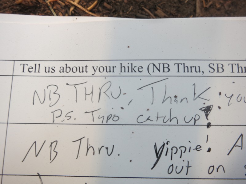
21 "I knew Typo would make it" (Part 6 of 6)
19 Throwing the Hail Mary (Part 5 of 6)
10 Up and down, but not out (Part 4 of 6)
06 Crossing Cutthroat Pass (Part 3 of 6)
03 Warming up in Winthrop (Part 2 of 6)
October
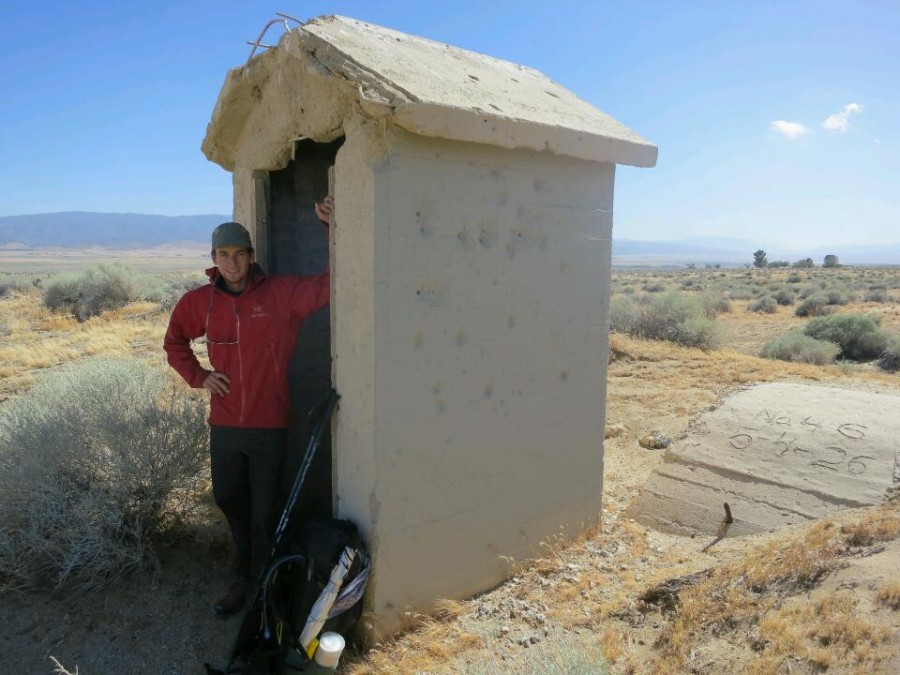
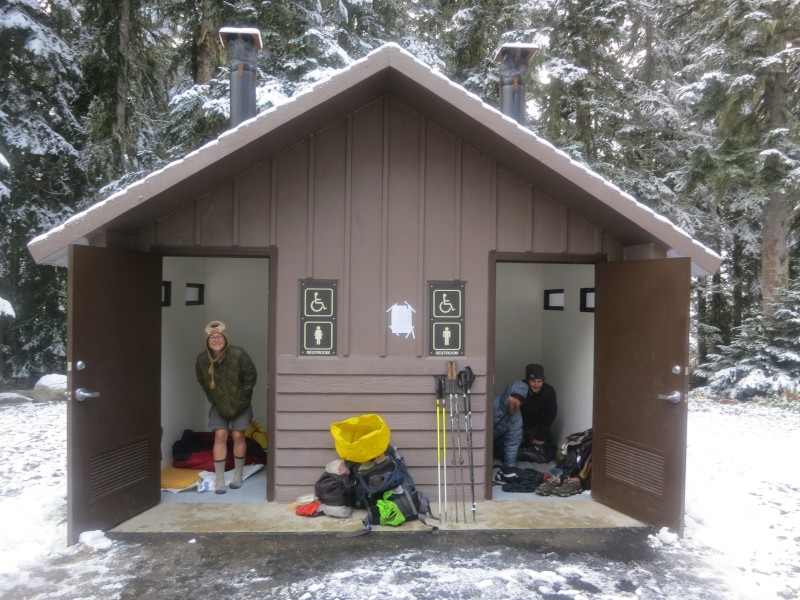
30 We're sleeping in a toilet (Part 1 of 6)
25 Another radio interview (Audio)
21 I made it
04 Nearly there
September
29 Trail Magic
19 Walking with Mum
August
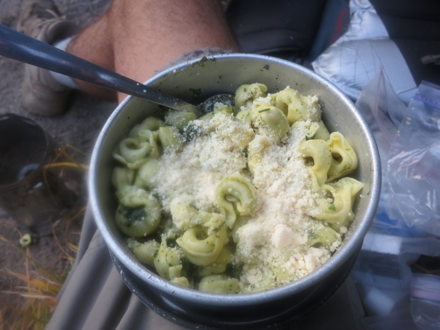
28 Cold food
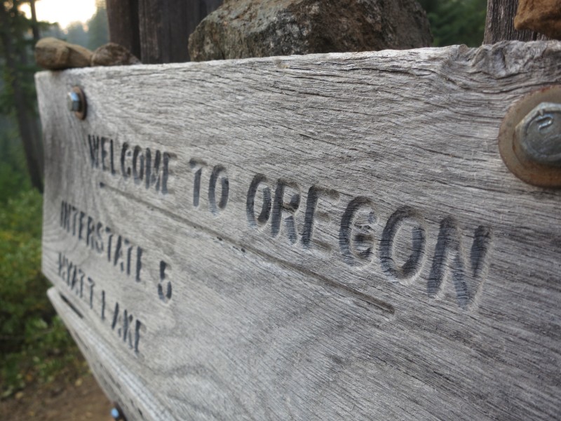
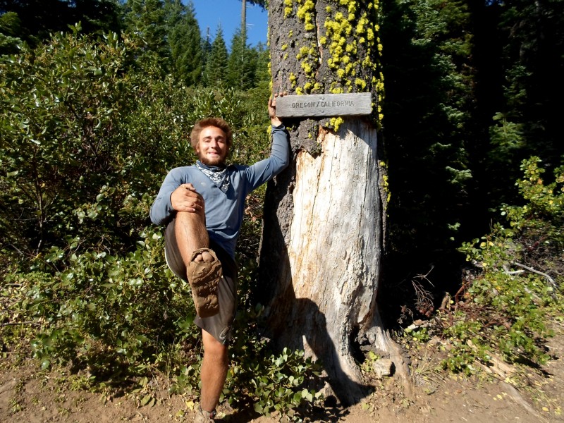
28 Hello Oregon!
20 40 miles in one day
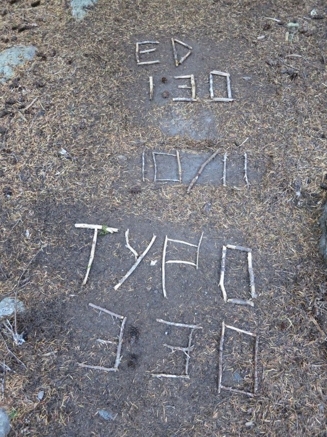
08 Official trail name: Typo
06 (Humbolt) Summit Fever
06 Road walking around a wildfire
July
30 Two trail birthdays
18 A picture is worth...
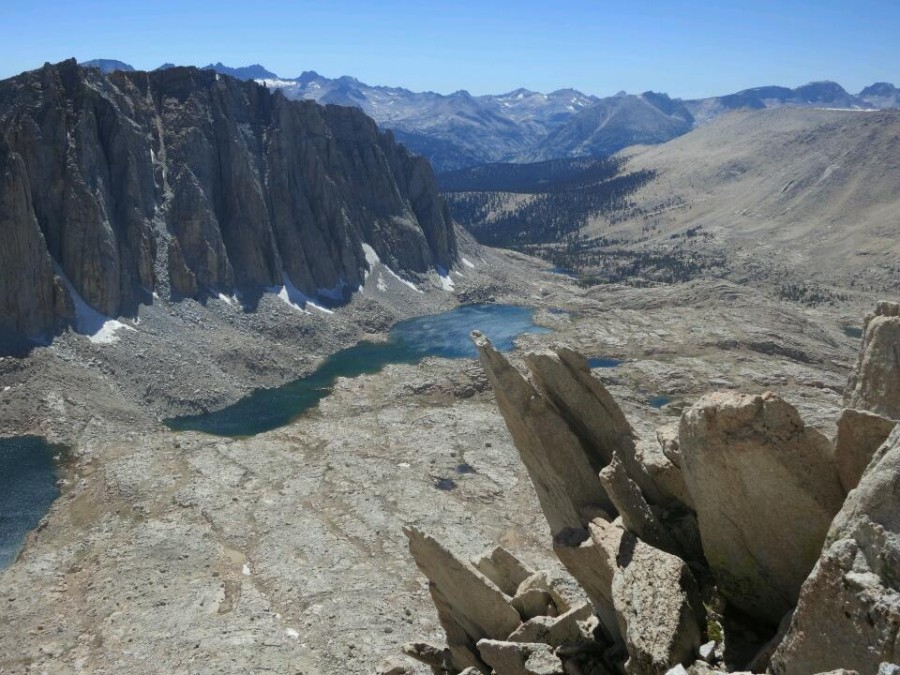
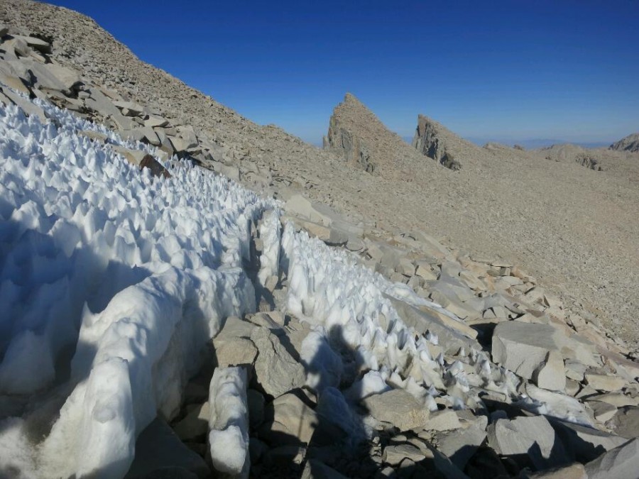
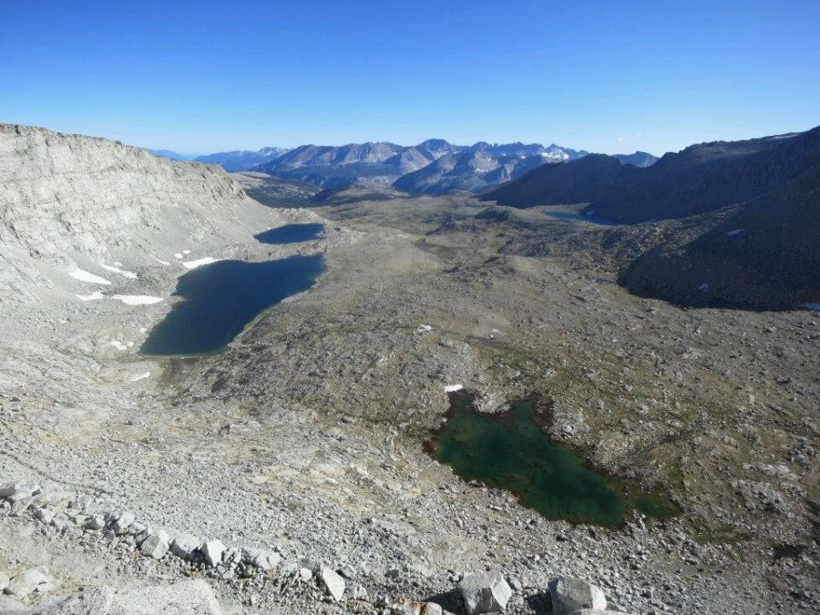
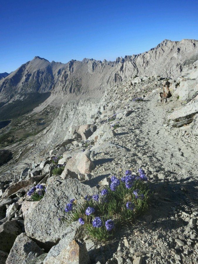
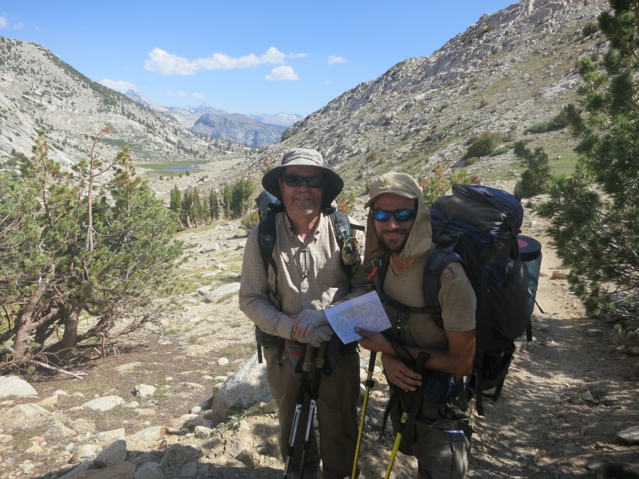
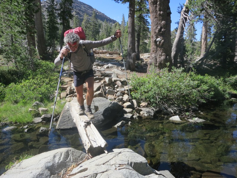
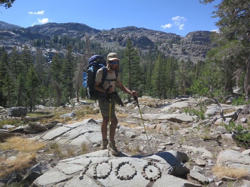
10 Pain and gain in the Sierra
June
28 Hiker hunger
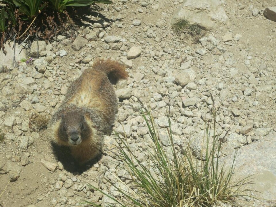
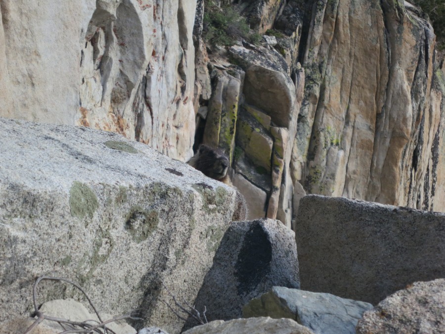
27 The inquisitive marmot
19 Stage one survived
05 Live from the Mojave (Updated)
04 I just walked 500 miles...
May
31 Current nemesis: Poodle dog bush
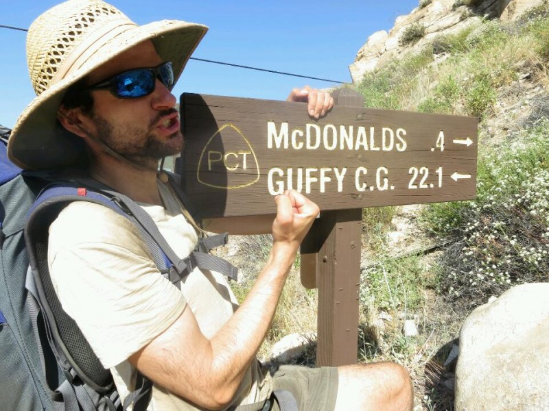
23 Mexico to McDonald's
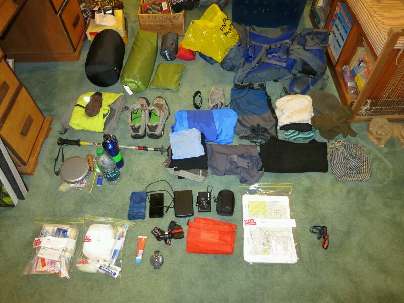
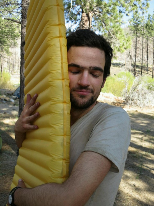
23 Gear review: Sleeping pad
18 Hot and getting even hotter
12 Videos
12 Wildlife
10 People on the trail: Sunset
05 Eagle Rock
03 Hiker discount: 100%
April
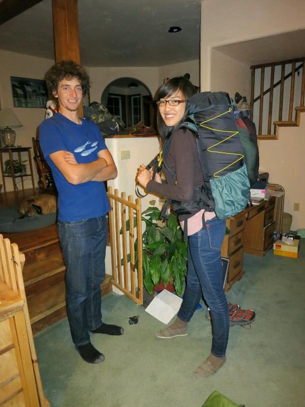
30 The beginning
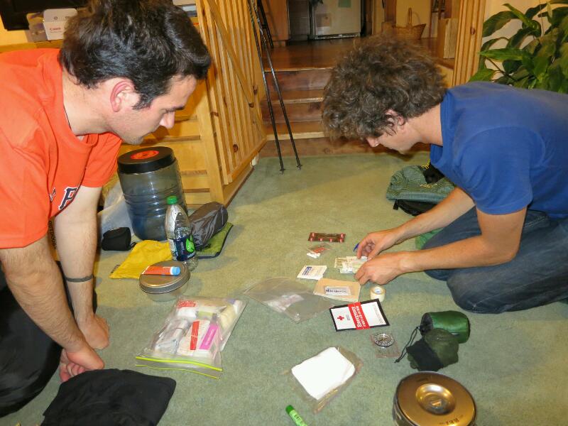
25 Final preparation
17 Blogging along the way
16 No publicity is bad publicity
08 Walking before the walk
08 Maps for the trail

 Designed by
 Developed by
/
Developed by
/ Icons by
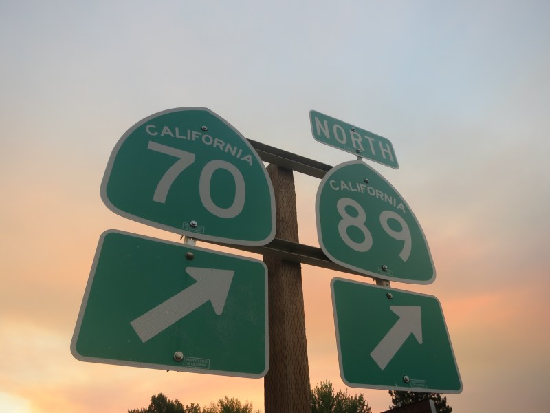