Blogging along the way (Posted 17 April 2012, 10:24pm)
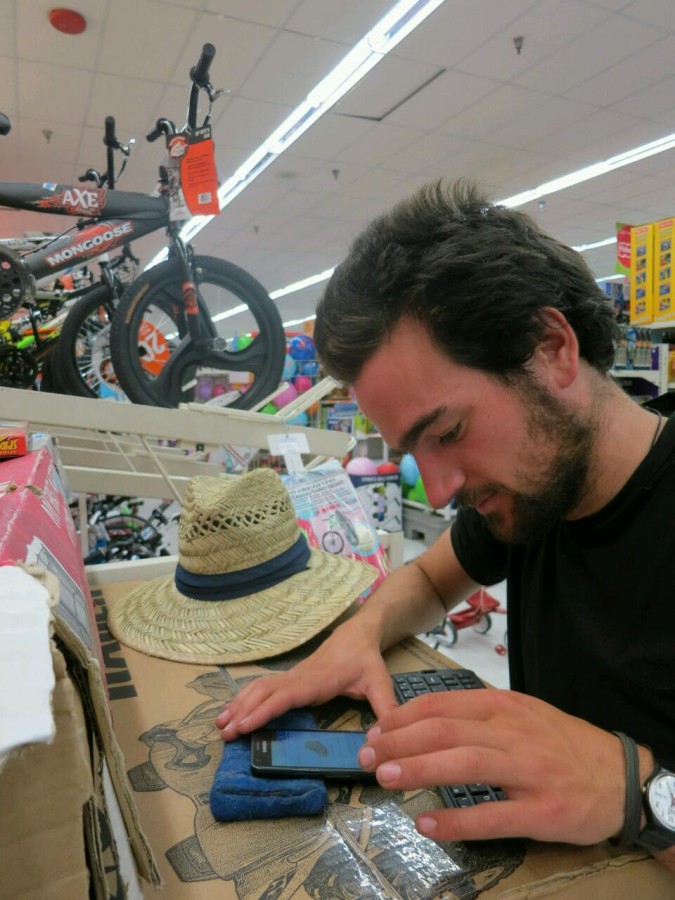
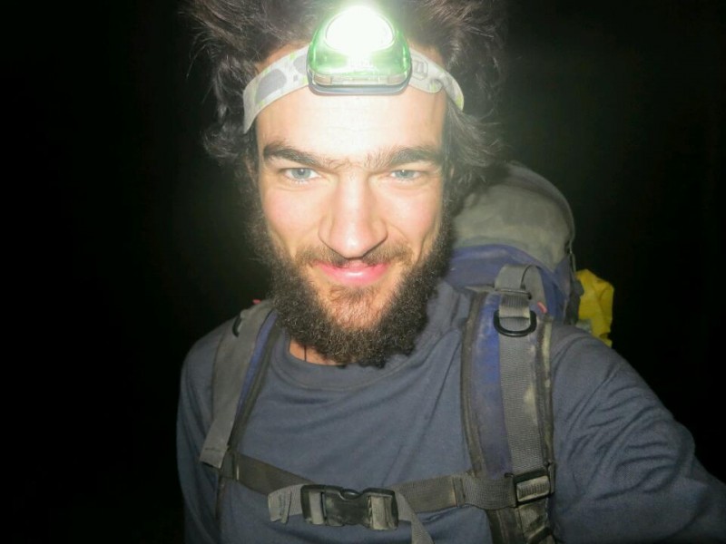
On past adventures I have tried to keep a diary but after a full days exercise I find it had to find the energy write by hand. I can type a lot faster and with less effort so on this trip I wanted to take some sort of electronic device for recording my thoughts.
My initial plan was to buy a small netbook. However after a bit of research I realized this would be impractical because of the weight and short battery life. I decided to combine a smartphone and a Bluetooth keyboard instead.
I brought a Samsung Galaxy SII which I am very happy with so far. I then searched online and found a foldable Bluetooth keyboard on eBay. It was in Hong Kong but cost only $28 with free shipping. I was a bit worried that it wouldn't arrive before I left but here I am 12 days later testing the system out.
The keyboard has taken some getting used to and I had to adjust the input settings on my phone to make it work correctly. I am also writing this sitting at a table so it will be interesting to see how practical this set up is inside my one person tent. It is however certainly a light-weight option with the combined weight of the two devices totaling just 291 grams.
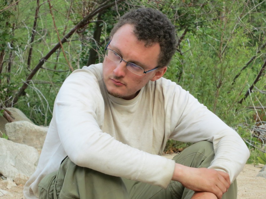
No publicity is bad publicity (Posted 16 April 2012, 05:50pm)
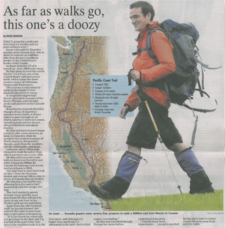
The Otago Daily Times, 16 April 2012.
When I told everyone at my workplace, Metro Realty, about my walk, one of the real estate agents mentioned it to a friend who works at the local newspaper. He thought it would make a good story. By chance we three met in a restaurant and my workmate made the introduction and mentioned my trip again.
The next morning I was called by a reporter and we arranged a time for an interview and photo shoot. The article was published on the front page of today's paper. The story was picked up by another newspaper and then I received a call from National Radio. They asked me if I would be happy to be interviewed on air. You can listen to the interview here.
The whole thing has been a welcome distraction from last minute organizing and a nice way to share my adventure with more people.
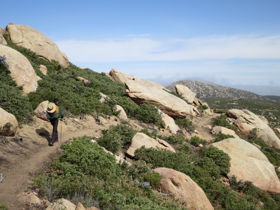
Walking before the walk (Posted 8 April 2012, 07:10pm)
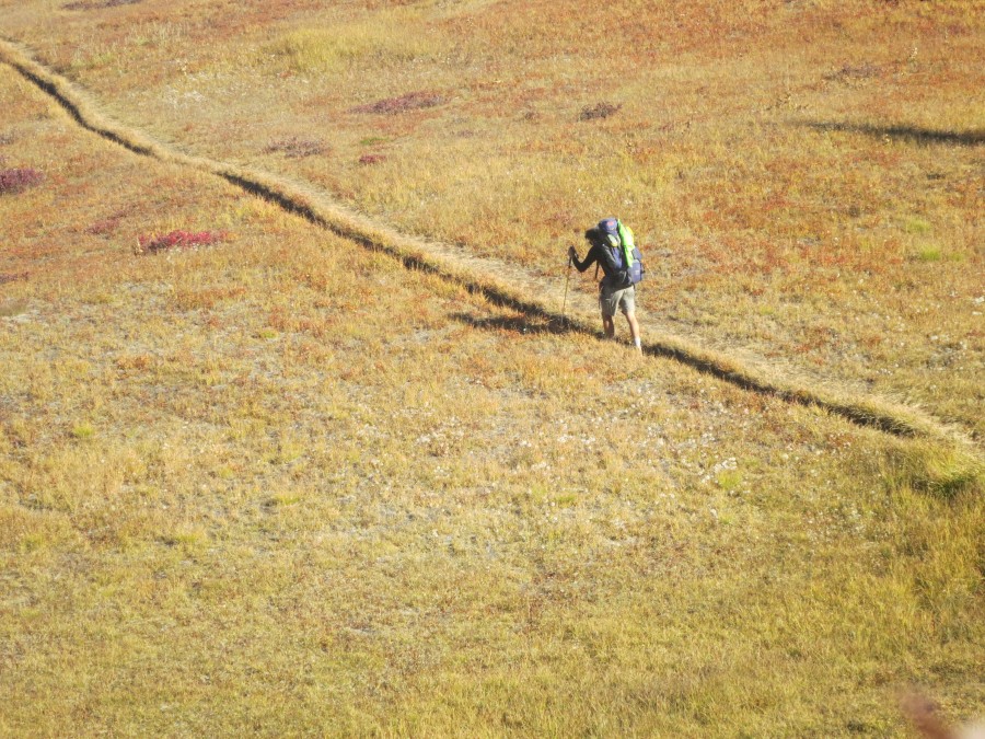
I was asked recently if I am training for my walk. I am still working full time and I still haven't bought a lot of my equipment, so it would be difficult to train with an accurate pack weight and for the length of time I will be walking each day. My training will be the first few weeks on the trail. I do however walk often, without a backpack and purely for enjoyment rather than with training in mind.
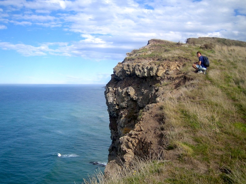
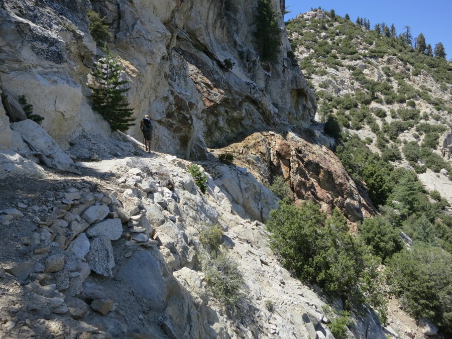
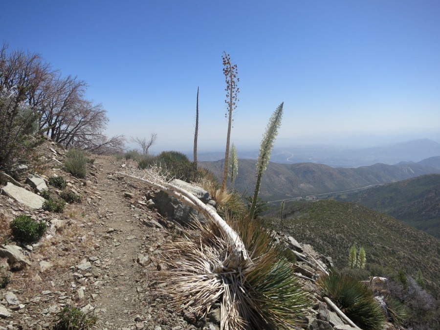
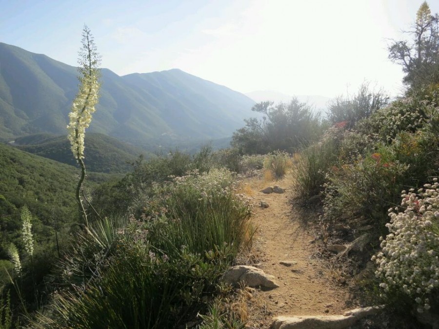
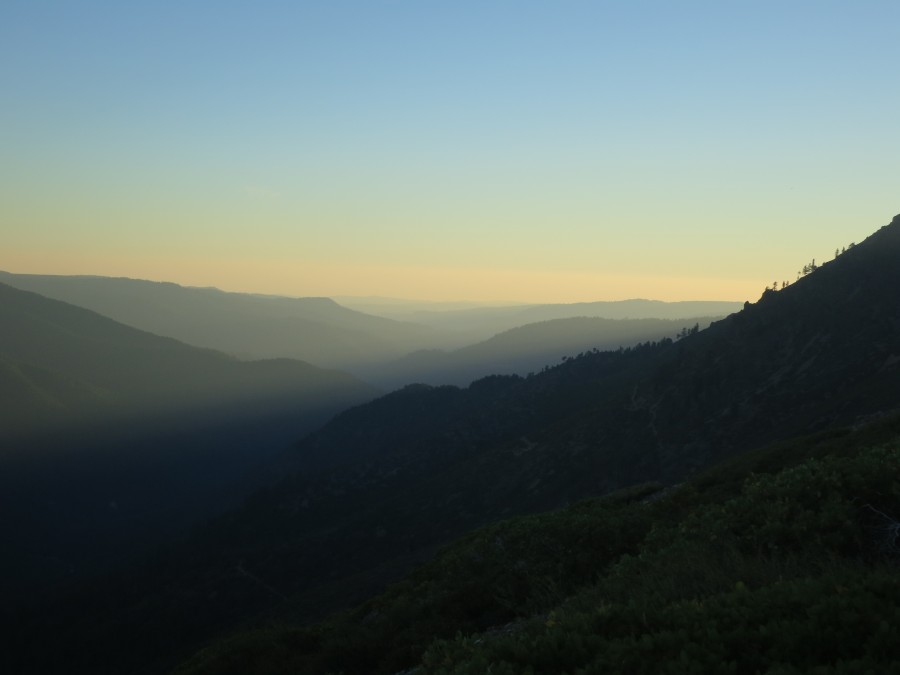
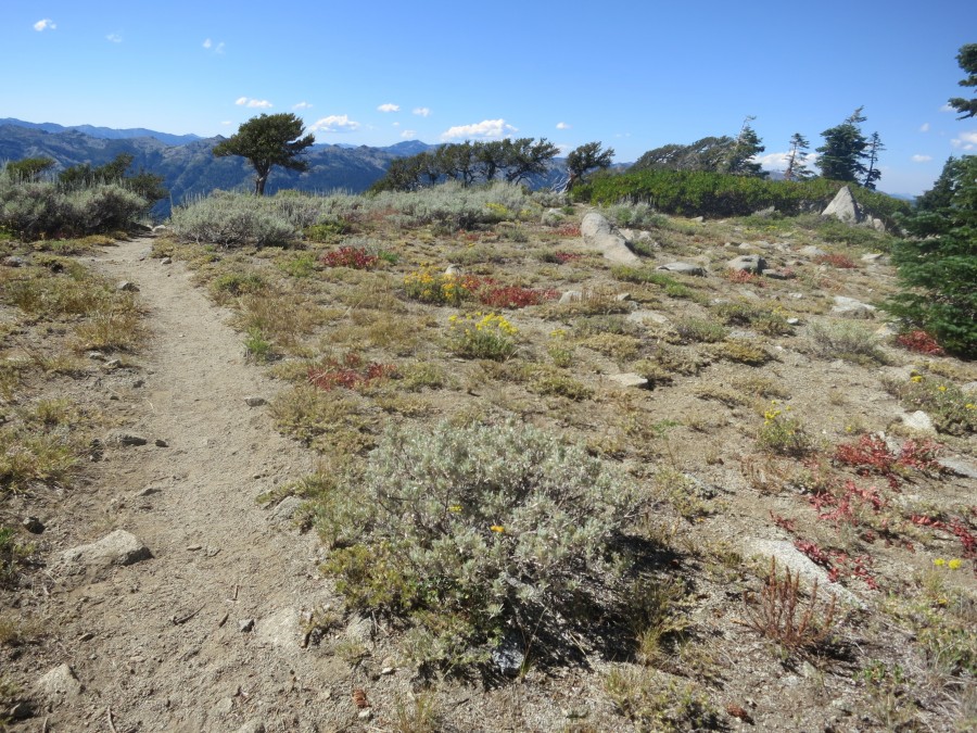
There are a lot of walks on the Otago Peninsula near where I live and with a childhood friend I have been trying to tick them off before heading overseas. Today we walked to Quoin Cliff which has stunning views over Pipikaretu and Ryans beaches. Carefully peering over the edge of the cliff down to Ryans beach we could see seals moving across the rocks and the remains of the Hananui II which was shipwrecked there in 1943. It was a clear afternoon and in the distance we could see back along the Peninsula to Harbour Cone and across to Karitane in the north.
I am realizing there are many wonderful places right here on my doorstep that I seldom visit. I love visiting other places but it is good to be reminded that there is exploring to be done from home too.
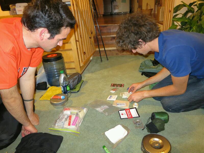
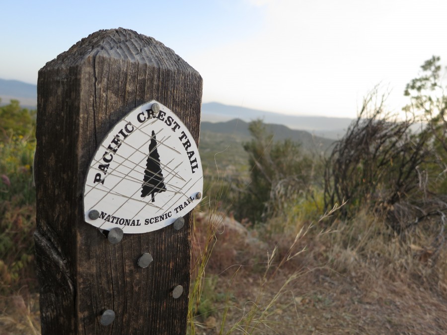
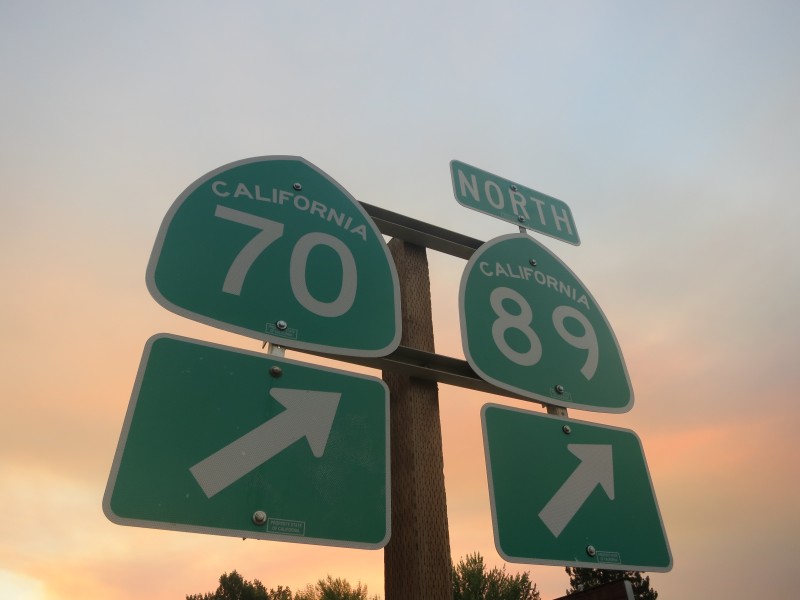
Maps for the trail (Posted 8 April 2012, 07:10pm)
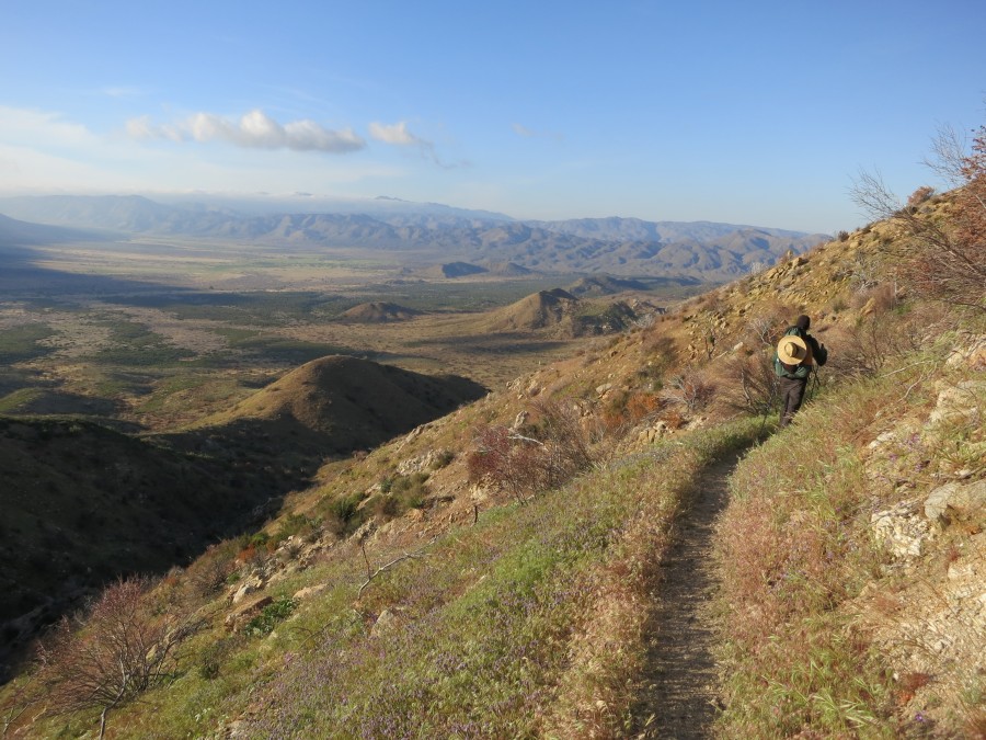
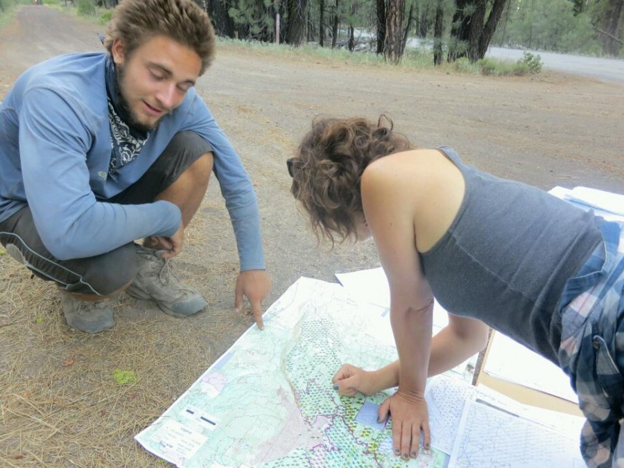
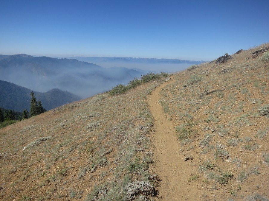
For such a long journey maps are obviously important. Some hikers opt for GPS devices, and I still might, but I also want navigation not reliant on a battery.
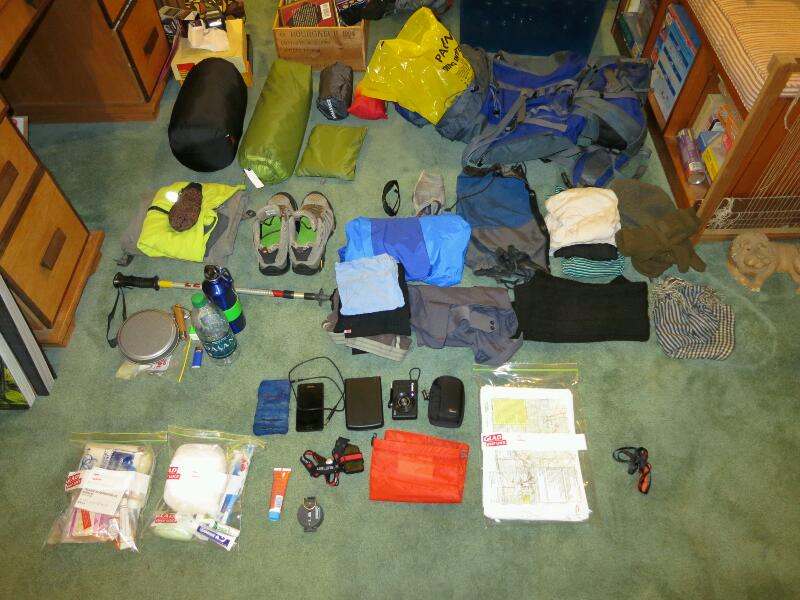
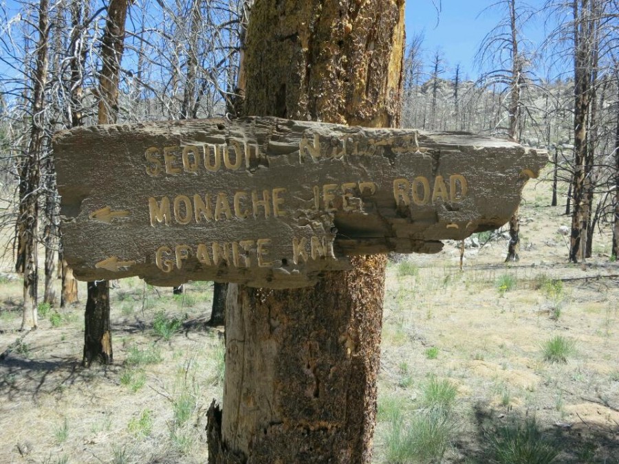
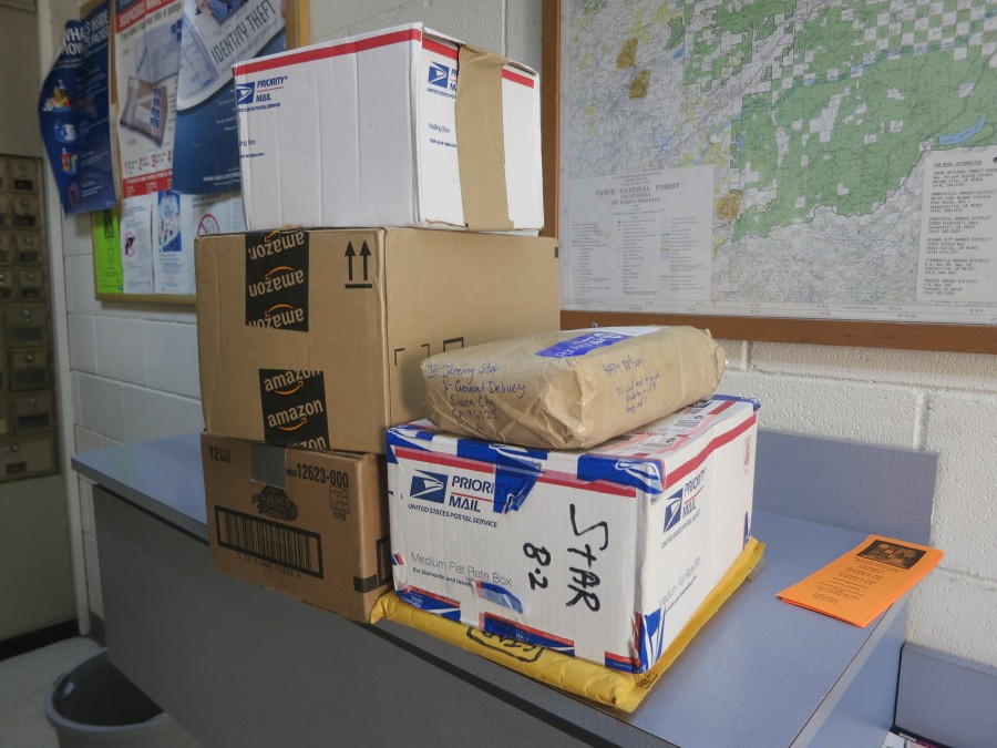
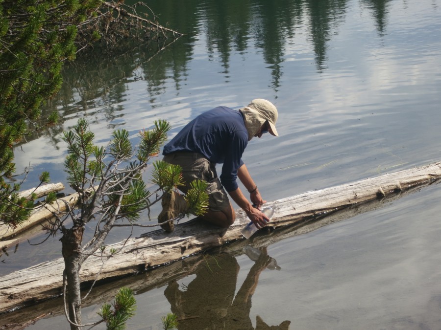
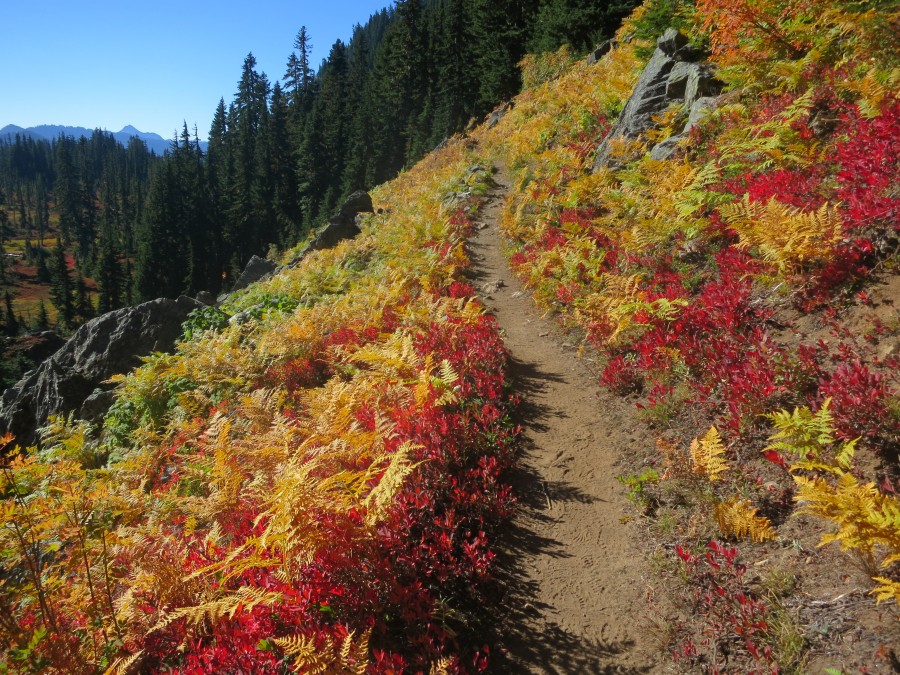
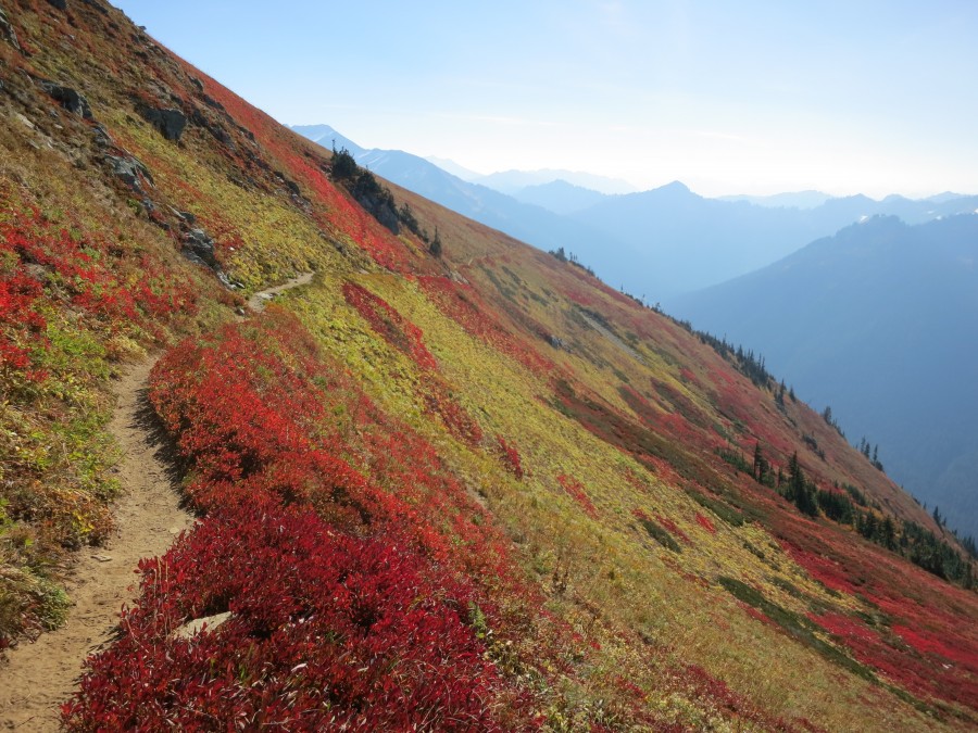
There are numerous options for printed maps, and after a bit of research I decided to use Halfmile's Pacific Crest Trail Maps. These seemed to be the most regularly updated, primarily because they are distributed digitally over the internet rather than being printed and then shipped. They are free to download, although there is then the cost of printing over 450 A4 pages. The combined weight of all of the printed maps is considerable but I plan to post batches of maps ahead of me on the trail and start campfires with the maps I have finished with.
The maps contain a wealth of information, such as water sources and camp sites and other helpful notes. They are made from GPS data imported into National Geographic TOPO! software, so are presumably fairly accurate. While they look very promising, the actual usefulness of these maps on the trail remains to be seen...
Trail Mail
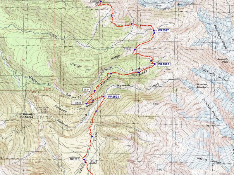
Map (View larger)
Recent Check-ins (View all)
October
21 I made it.
15 About to catch the last bus for the season out of Stehekin and planning to walk out of America in four days time on the last day of my visa...
09 It looks like some bad weather is finally on the way. My rain gear might actually get some use! Tough climbs ahead but getting closer to Canada each day and with great group of fellow stragglers.
September
22 Quick stop in Cascade Locks to shower, do laundry, resupply, eat and 'rest'. Across the Bridge of the Gods, over the mighty Columbia river, into Washington today - the first day of autumn.
13 Resupply for Washington all sorted with some help from Mum, who is visiting on her way home from Europe. Now it is time to escape Bend and resume the race to Canada.
Photos (View all)
Blog Archive
November30 True to the thru (Part 4 of 4)
30 The waiting game (Part 3 of 4)
30 Something was wrong (Part 2 of 4)
30 A story that needs to be told (Part 1 of 4)
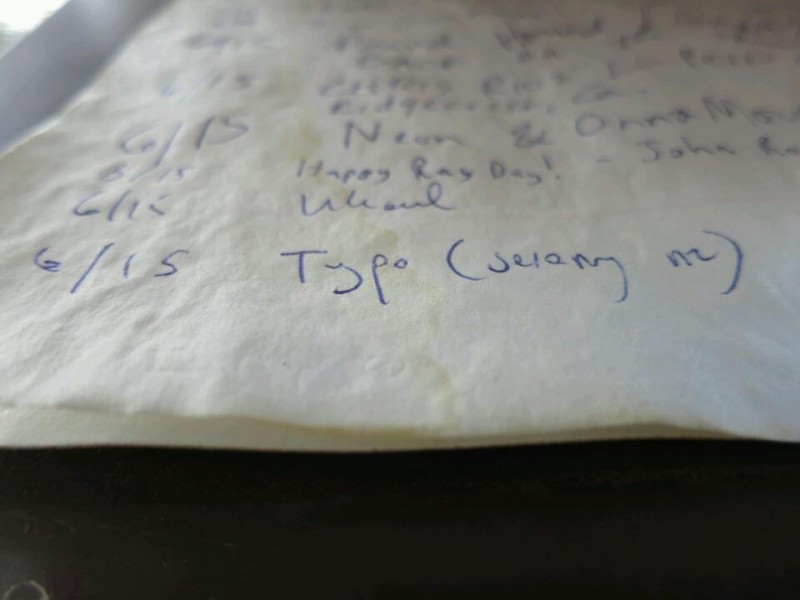
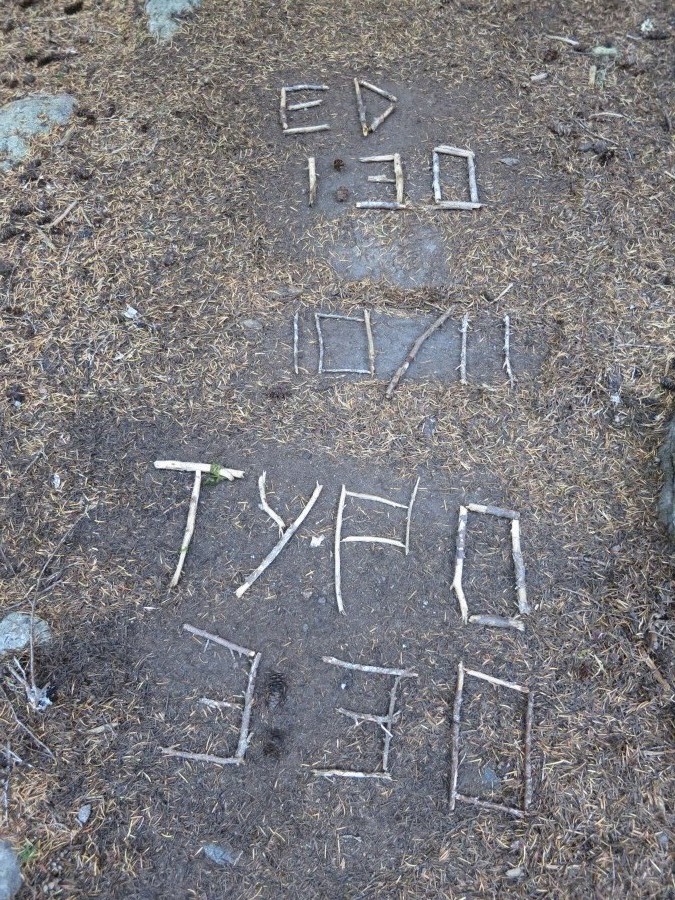
21 "I knew Typo would make it" (Part 6 of 6)
19 Throwing the Hail Mary (Part 5 of 6)
10 Up and down, but not out (Part 4 of 6)
06 Crossing Cutthroat Pass (Part 3 of 6)
03 Warming up in Winthrop (Part 2 of 6)
October
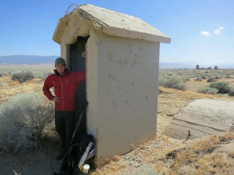
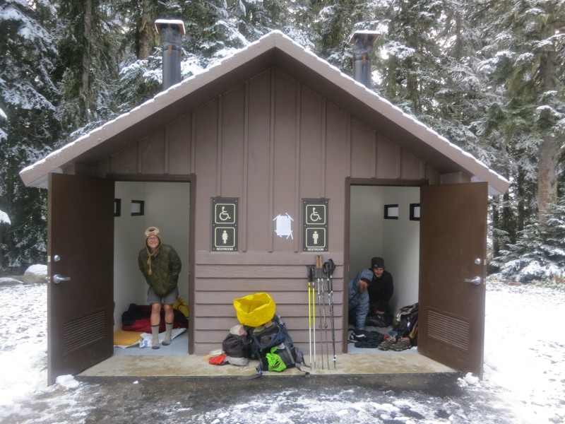
30 We're sleeping in a toilet (Part 1 of 6)
25 Another radio interview (Audio)
21 I made it
04 Nearly there
September
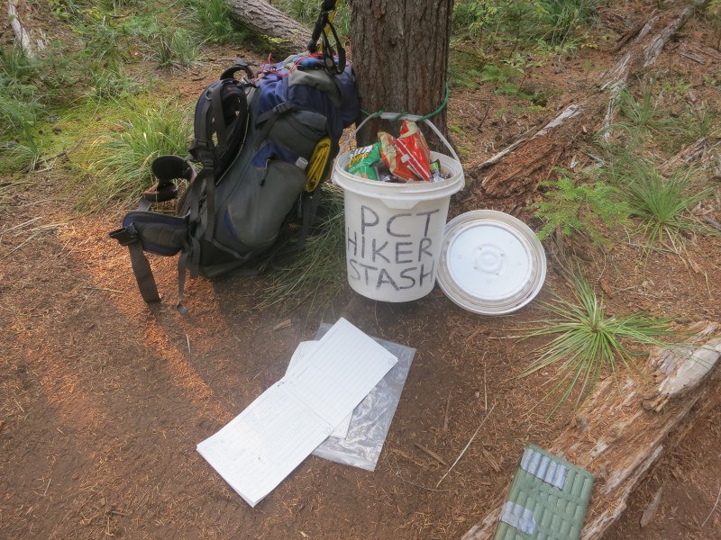
29 Trail Magic
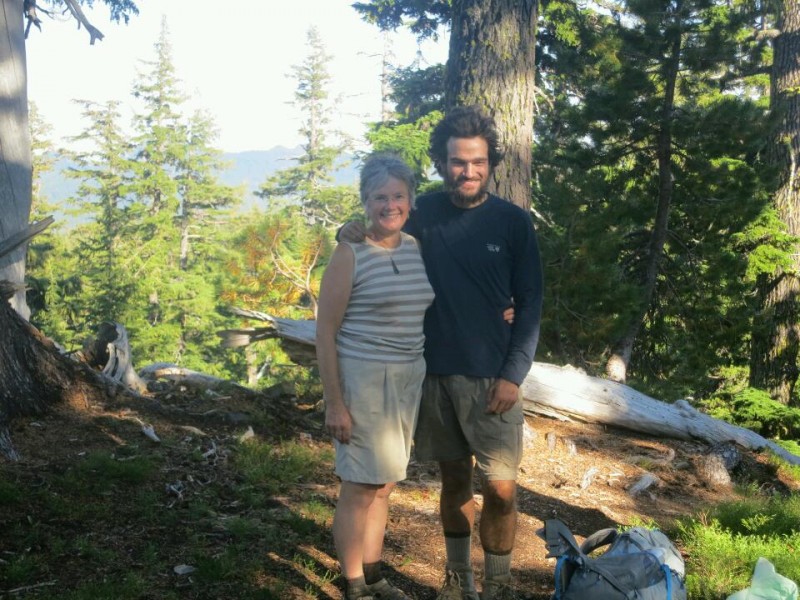
19 Walking with Mum
August
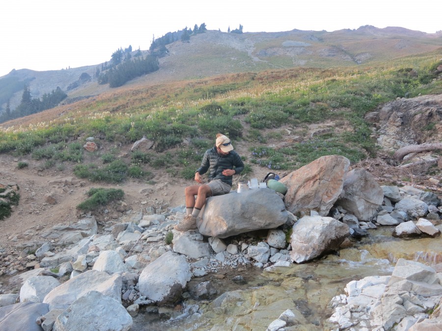
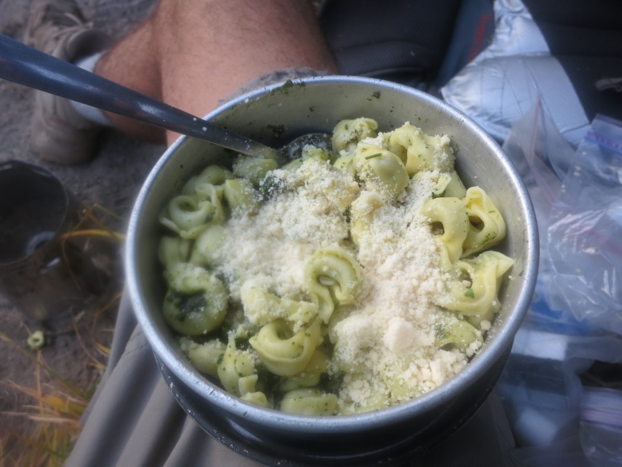
28 Cold food
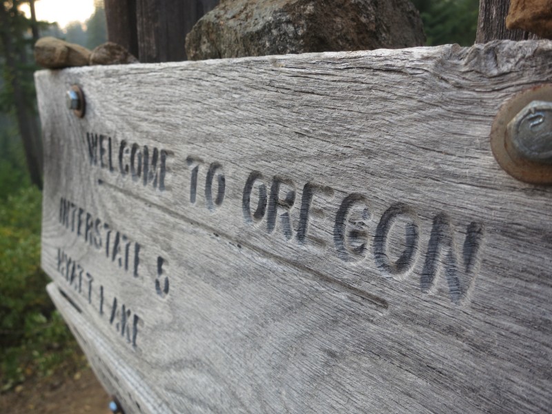
28 Hello Oregon!
20 40 miles in one day
08 Official trail name: Typo
06 (Humbolt) Summit Fever
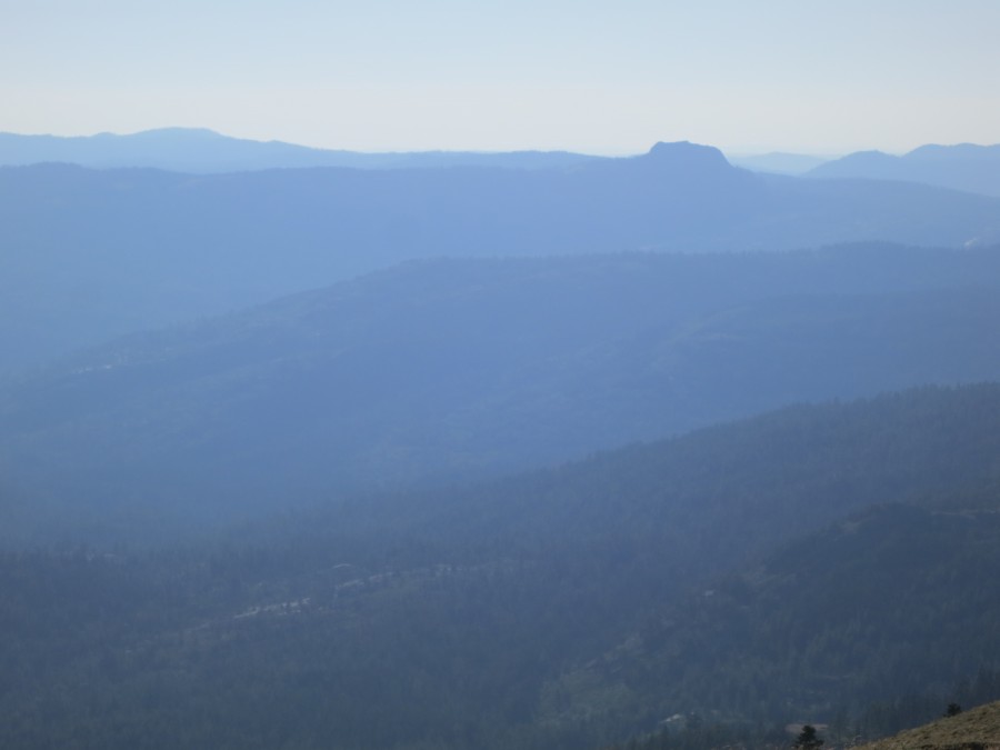
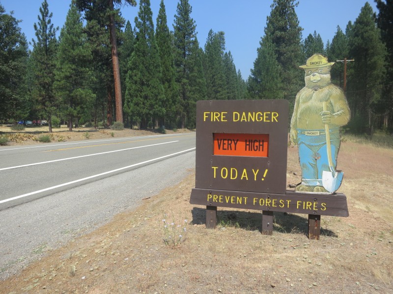
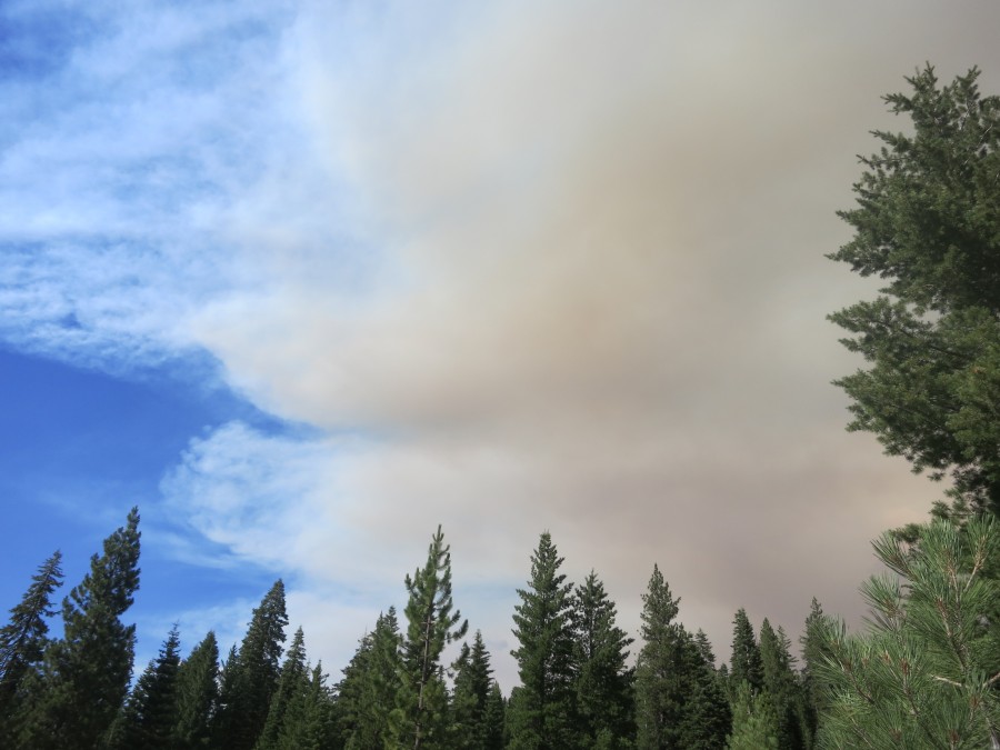
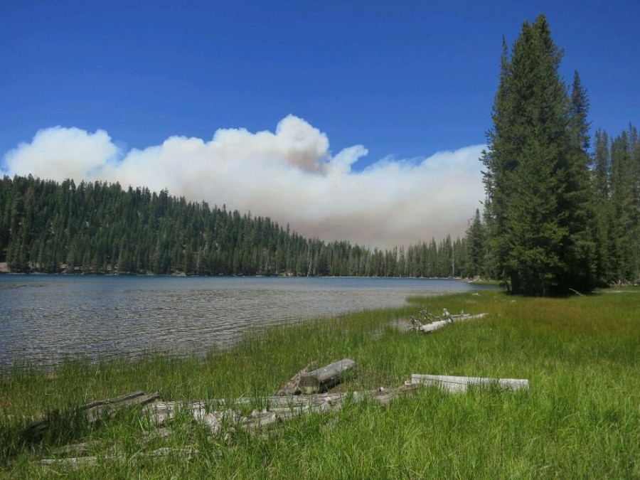
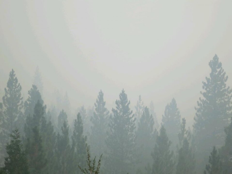
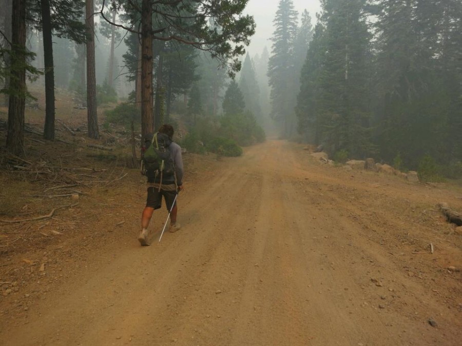
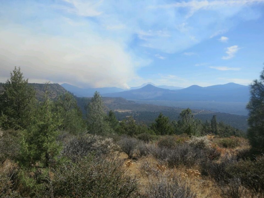
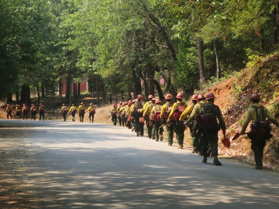
06 Road walking around a wildfire
July
30 Two trail birthdays
18 A picture is worth...
10 Pain and gain in the Sierra
June
28 Hiker hunger
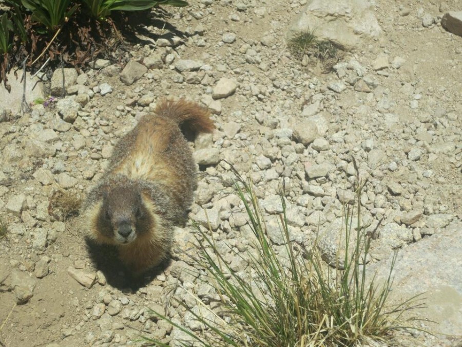
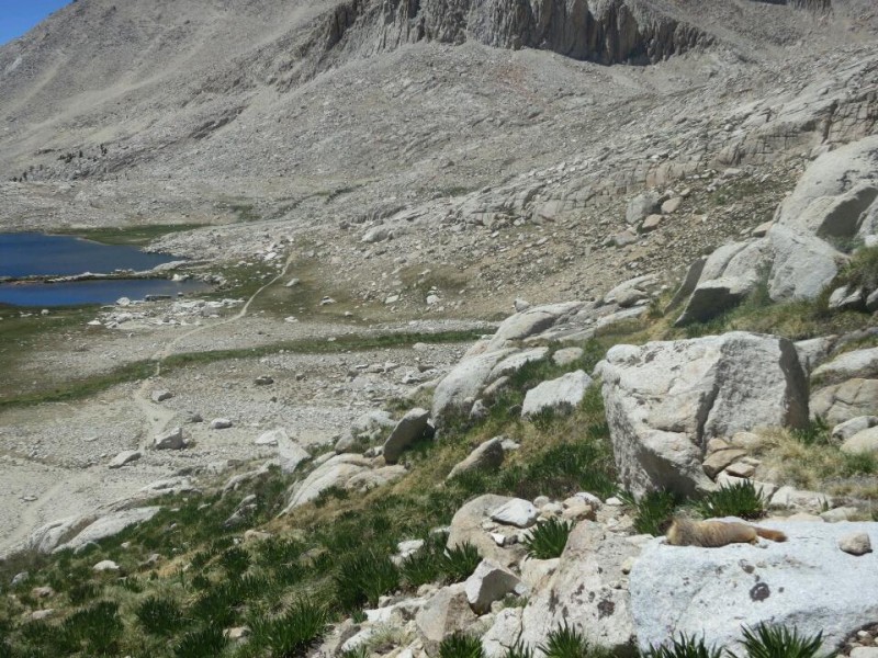
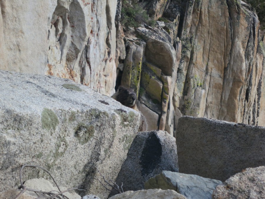
27 The inquisitive marmot
19 Stage one survived
05 Live from the Mojave (Updated)
04 I just walked 500 miles...
May
31 Current nemesis: Poodle dog bush
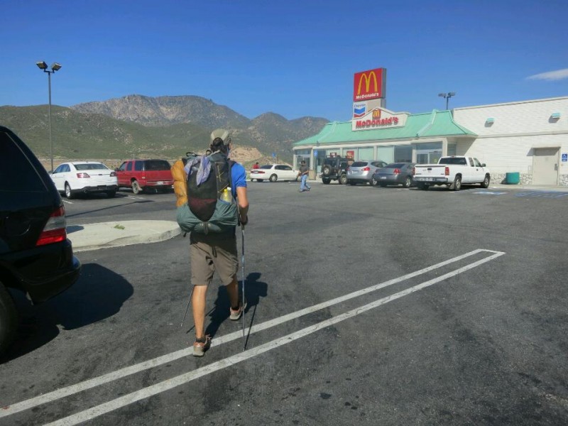
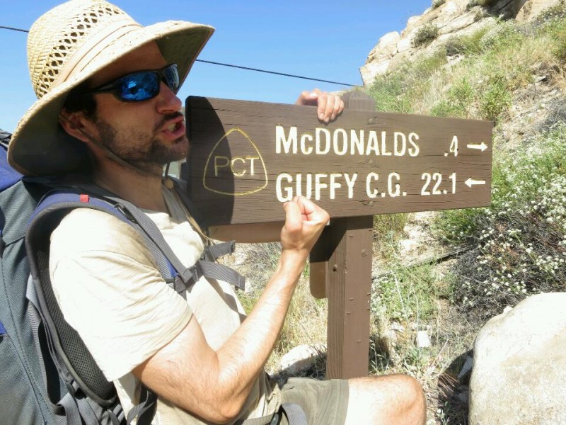
23 Mexico to McDonald's
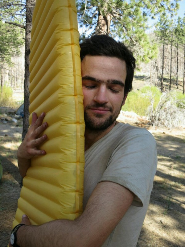
23 Gear review: Sleeping pad
18 Hot and getting even hotter
12 Videos
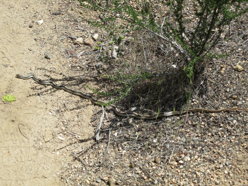
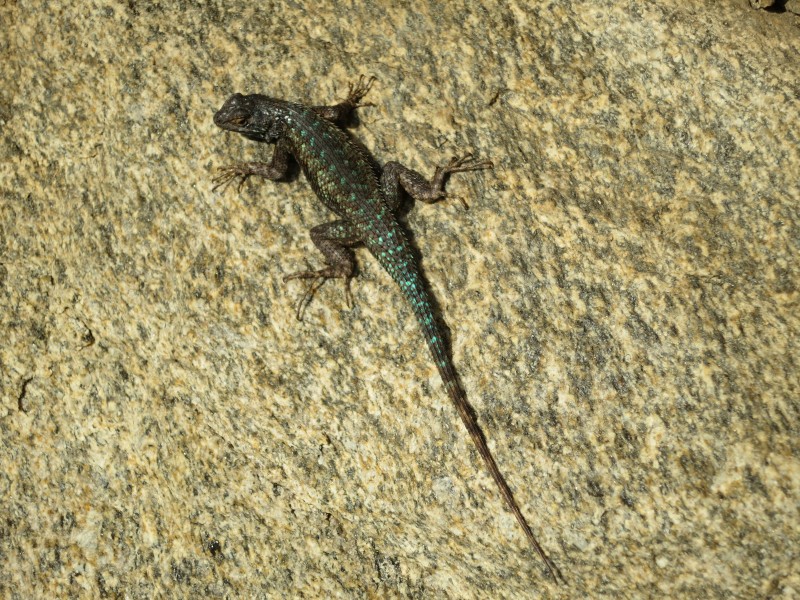
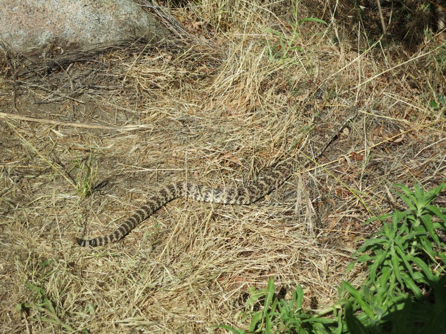
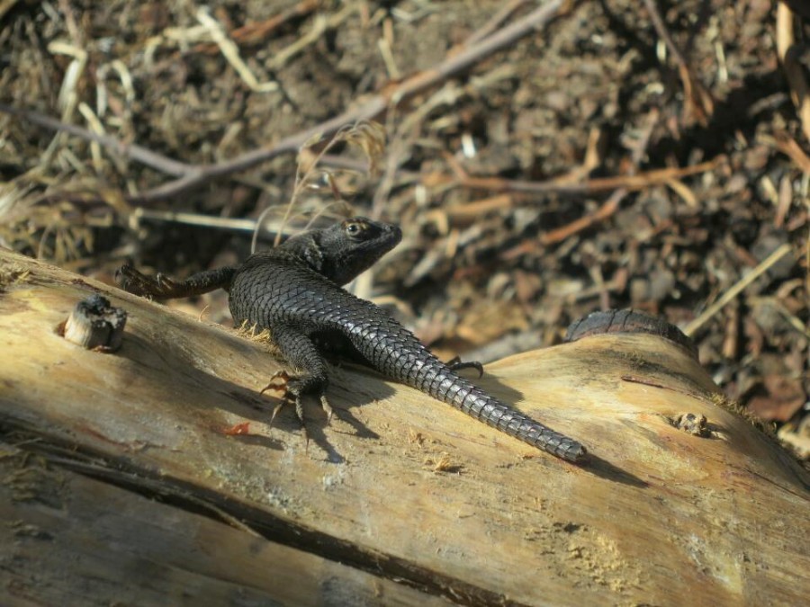
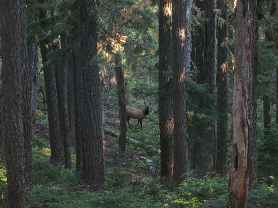
12 Wildlife
10 People on the trail: Sunset
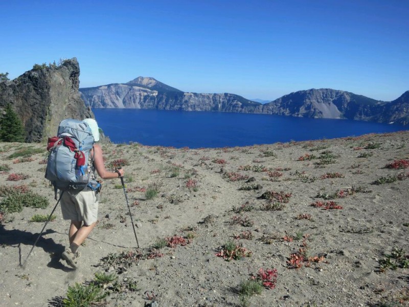
05 Eagle Rock
03 Hiker discount: 100%
April
30 The beginning
25 Final preparation
17 Blogging along the way
16 No publicity is bad publicity
08 Walking before the walk
08 Maps for the trail

 Designed by
 Developed by
/
Developed by
/ Icons by
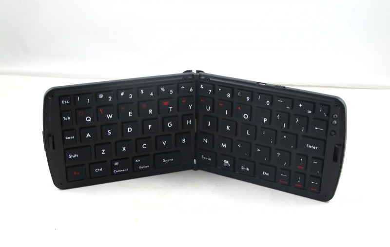